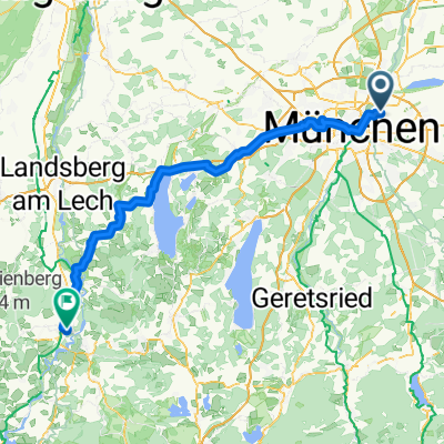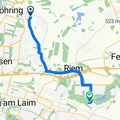
Von Johanneskirchen nach Gronsdorf
- 8.1 km
- 24 m
- 11 m
- Unterföhring, Bavaria, Germany
A cycling route starting in Unterföhring, Bavaria, Germany.
Overview
Actually suitable for every bike, with refreshment options along the way, rest areas at the former BUGA site and Riemer Park.
created this 13 years ago
Route quality
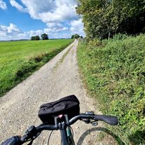
Quiet road
13.7 km
(43 %)
Track
5.7 km
(18 %)
Paved
26 km
(82 %)
Unpaved
3.5 km
(11 %)
Asphalt
25.4 km
(80 %)
Loose gravel
2.5 km
(8 %)
Continue with Bikemap
You would like to ride Rundkurs Unterföhring-Haar or customize it for your own trip? Here is what you can do with this Bikemap route:
Free trial for 3 days, or one-time payment. More about Bikemap Premium.
Discover more Premium features.
Get Bikemap PremiumFrom our community
Open it in the app