Descubriendo las Tuerces y Covalagua . Aguilar de Campoo
A cycling route starting in Aguilar de Campoo, Castille and Le贸n, Spain.
Overview
About this route
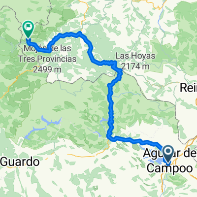
This route takes you east of Aguilar de Campoo, leading you into the magical area of Las Tuerces, where rock formations and unique landscapes create a one-of-a-kind atmosphere. In the central section, you鈥檒l find the natural charm of Covalagua, a protected area that surprises with its tranquility and beauty. After visiting the majestic Valcabado viewpoint, offering panoramic views of the region, and the historic Pozo de los Lobos, the route returns to Aguilar de Campoo. It鈥檚 a balanced day combining nature, history, and spectacular scenery.
- -:--
- Duration
- 60.1 km
- Distance
- 1,108 m
- Ascent
- 1,110 m
- Descent
- ---
- Avg. speed
- 1,217 m
- Max. altitude
Route quality
Waytypes & surfaces along the route
Waytypes
Track
43.9 km
(73 %)
Path
6 km
(10 %)
Surfaces
Paved
5.4 km
(9 %)
Unpaved
43.3 km
(72 %)
Ground
19.8 km
(33 %)
Gravel
13.8 km
(23 %)
Continue with Bikemap
Use, edit, or download this cycling route
You would like to ride Descubriendo las Tuerces y Covalagua . Aguilar de Campoo or customize it for your own trip? Here is what you can do with this Bikemap route:
Free features
- Save this route as favorite or in collections
- Copy & plan your own version of this route
- Sync your route with Garmin or Wahoo
Premium features
Free trial for 3 days, or one-time payment. More about Bikemap Premium.
- Navigate this route on iOS & Android
- Export a GPX / KML file of this route
- Create your custom printout (try it for free)
- Download this route for offline navigation
Discover more Premium features.
Get Bikemap PremiumFrom our community
Other popular routes starting in Aguilar de Campoo
- Joyas del Rom谩nico . Aguilar de Campoo
- Distance
- 63 km
- Ascent
- 929 m
- Descent
- 932 m
- Location
- Aguilar de Campoo, Castille and Le贸n, Spain
- Descubriendo las Tuerces y Covalagua . Aguilar de Campoo
- Distance
- 60.1 km
- Ascent
- 1,108 m
- Descent
- 1,110 m
- Location
- Aguilar de Campoo, Castille and Le贸n, Spain
- Ruta de los pantanos. Aguilar - Velilla
- Distance
- 81.4 km
- Ascent
- 846 m
- Descent
- 667 m
- Location
- Aguilar de Campoo, Castille and Le贸n, Spain
- Aguilar de Campoo to Lagos de Covadonga
- Distance
- 182.2 km
- Ascent
- 3,338 m
- Descent
- 3,154 m
- Location
- Aguilar de Campoo, Castille and Le贸n, Spain
- Barruelo, Bra帽osera y el Collado Pamporquero . Aguilar de Campoo
- Distance
- 65.8 km
- Ascent
- 1,534 m
- Descent
- 1,521 m
- Location
- Aguilar de Campoo, Castille and Le贸n, Spain
- Monta帽a palentina. Aguilar-Cervera
- Distance
- 136.6 km
- Ascent
- 1,040 m
- Descent
- 937 m
- Location
- Aguilar de Campoo, Castille and Le贸n, Spain
- AGULAR DE CAMPOO-POLIENTES
- Distance
- 34.8 km
- Ascent
- 194 m
- Descent
- 386 m
- Location
- Aguilar de Campoo, Castille and Le贸n, Spain
- De Calle del Abad, 2A, Aguilar de Campoo a Calle del Abad, 2A, Aguilar de Campoo
- Distance
- 26.3 km
- Ascent
- 416 m
- Descent
- 421 m
- Location
- Aguilar de Campoo, Castille and Le贸n, Spain
Open it in the app