Barruelo, Brañosera y el Collado Pamporquero . Aguilar de Campoo
A cycling route starting in Aguilar de Campoo, Castille and León, Spain.
Overview
About this route
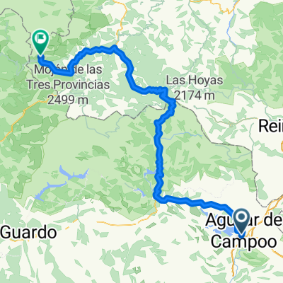
The most demanding route of the stage starts by heading north towards the historic villages of Barruelo de Santullán and Brañosera, the birthplace of Spain's first town hall. From there, the ascent begins to the highest point of the entire stage: the Collado de Pamporquero, at 1,620 meters, offering spectacular views and a feeling of conquest for the cyclists. The descent, dynamic and varied, passes through several picturesque villages before returning to Aguilar de Campoo. An intense day, perfect for those seeking a challenge surrounded by history and pure nature.
- -:--
- Duration
- 65.8 km
- Distance
- 1,534 m
- Ascent
- 1,521 m
- Descent
- ---
- Avg. speed
- 1,614 m
- Max. altitude
Route quality
Waytypes & surfaces along the route
Waytypes
- Track - 50.7 km - (77 %) 
- Quiet road - 6.6 km - (10 %) 
Surfaces
Paved
4.6 km
(7 %)
Unpaved
35.5 km
(54 %)
- Ground - 17.8 km - (27 %) 
- Gravel - 14.5 km - (22 %) 
Continue with Bikemap
Use, edit, or download this cycling route
You would like to ride Barruelo, Brañosera y el Collado Pamporquero . Aguilar de Campoo or customize it for your own trip? Here is what you can do with this Bikemap route:
Free features
- Save this route as favorite or in collections
- Copy & plan your own version of this route
- Sync your route with Garmin or Wahoo
Premium features
Free trial for 3 days, or one-time payment. More about Bikemap Premium.
- Navigate this route on iOS & Android
- Export a GPX / KML file of this route
- Create your custom printout (try it for free)
- Download this route for offline navigation
Discover more Premium features.
Get Bikemap PremiumFrom our community
Other popular routes starting in Aguilar de Campoo
 Fondo Fondo- Distance
- 173.2 km
- Ascent
- 4,132 m
- Descent
- 4,062 m
- Location
- Aguilar de Campoo, Castille and León, Spain
 
 e13 línea e13 línea- Distance
- 194.1 km
- Ascent
- 3,538 m
- Descent
- 2,486 m
- Location
- Aguilar de Campoo, Castille and León, Spain
 
 VCS-12-5 VCS-12-5- Distance
- 180.2 km
- Ascent
- 2,367 m
- Descent
- 1,943 m
- Location
- Aguilar de Campoo, Castille and León, Spain
 
 AGULAR DE CAMPOO-POLIENTES AGULAR DE CAMPOO-POLIENTES- Distance
- 34.8 km
- Ascent
- 194 m
- Descent
- 386 m
- Location
- Aguilar de Campoo, Castille and León, Spain
 
 E3 Aguilar - Chivo E3 Aguilar - Chivo- Distance
- 168.9 km
- Ascent
- 2,423 m
- Descent
- 1,358 m
- Location
- Aguilar de Campoo, Castille and León, Spain
 
 De Calle del Abad, 2A, Aguilar de Campoo a Calle del Abad, 2A, Aguilar de Campoo De Calle del Abad, 2A, Aguilar de Campoo a Calle del Abad, 2A, Aguilar de Campoo- Distance
- 26.3 km
- Ascent
- 416 m
- Descent
- 421 m
- Location
- Aguilar de Campoo, Castille and León, Spain
 
 Ruta de los pantanos. Aguilar - Velilla Ruta de los pantanos. Aguilar - Velilla- Distance
- 81.4 km
- Ascent
- 846 m
- Descent
- 667 m
- Location
- Aguilar de Campoo, Castille and León, Spain
 
 Montaña palentina. Aguilar-Cervera Montaña palentina. Aguilar-Cervera- Distance
- 136.6 km
- Ascent
- 1,040 m
- Descent
- 937 m
- Location
- Aguilar de Campoo, Castille and León, Spain
 
Open it in the app

