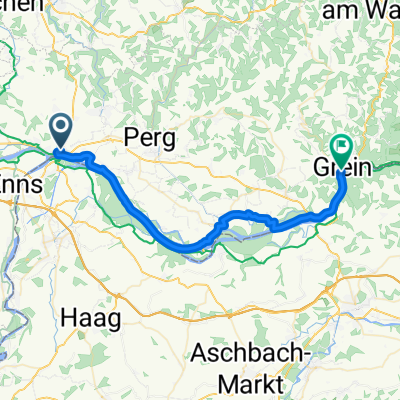
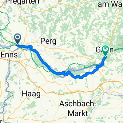
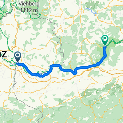
3. nap Mauthausen to Emmersdorf an der Donau
- 81.1 km
- 372 m
- 402 m
- Ennsdorf, Lower Austria, Austria
A cycling route starting in Ennsdorf, Lower Austria, Austria.
Overview
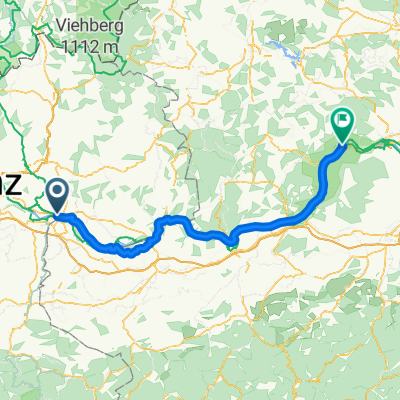
4 day
created this 13 years ago
Route highlights
\"")
Mauthausen-Heid
\"")
Mauthausen (Heindkal)
\"")
Mauthausen (Heindkal)
\"")
Mauthausen (Heindlkai)
\"")
Mauthasen (blick from Pfarre Saint Nikolas)
\"")
Enns (Schloss Ennsegg - inside)
\"")
Enns (Mathausenerstrasse)
\"")
Enns (Hauptplaz)
\"")
Enns (Stadttutrm)
\"")
Enns (Linzerstrasse)
\"")
Come back to Mauthausen
Continue with Bikemap
You would like to ride Donauradweg - 04 day (Mauthausen-Heid - Enss - Mauthausen) or customize it for your own trip? Here is what you can do with this Bikemap route:
Free trial for 3 days, or one-time payment. More about Bikemap Premium.
Discover more Premium features.
Get Bikemap PremiumFrom our community
Open it in the app