

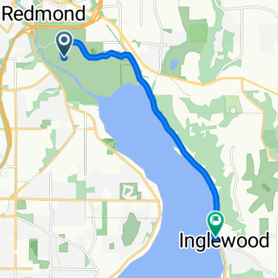
2012 Flying Wheels - 65 Mile Route
A cycling route starting in Redmond, Washington, United States.
Overview
About this route
2012 Flying Wheels 65 mile route:
-Starts at Marymoor Park
-Out to Carnation
-Around to Cherry Valley
-To Duvall
-Back to Carnation via Snoqualmie Valley Road
-Continue south toward Fall City
-UP the 3 mile hill on SE 40th =(
-Back to E Lake Sammamish Pkwy
-And back to Marymoor Park. =)
- -:--
- Duration
- 105 km
- Distance
- 639 m
- Ascent
- 639 m
- Descent
- ---
- Avg. speed
- ---
- Max. altitude

Continue with Bikemap
Use, edit, or download this cycling route
You would like to ride 2012 Flying Wheels - 65 Mile Route or customize it for your own trip? Here is what you can do with this Bikemap route:
Free features
- Save this route as favorite or in collections
- Copy & plan your own version of this route
- Split it into stages to create a multi-day tour
- Sync your route with Garmin or Wahoo
Premium features
Free trial for 3 days, or one-time payment. More about Bikemap Premium.
- Navigate this route on iOS & Android
- Export a GPX / KML file of this route
- Create your custom printout (try it for free)
- Download this route for offline navigation
Discover more Premium features.
Get Bikemap PremiumFrom our community
Other popular routes starting in Redmond
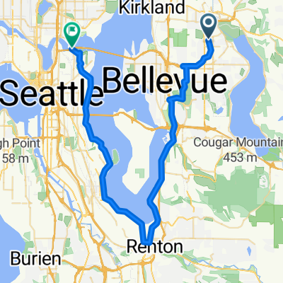
 Lake Sam & Juanita hill Figure eight
- Distance
- 94.1 km
- Ascent
- 673 m
- Descent
- 615 m
- Location
- Redmond, Washington, United States
 Redmond to Rail underlake
- Distance
- 48.2 km
- Ascent
- 188 m
- Descent
- 279 m
- Location
- Redmond, Washington, United States
 Overlake to Bellevue Downtown Park
- Distance
- 9.9 km
- Ascent
- 141 m
- Descent
- 198 m
- Location
- Redmond, Washington, United States
 sammamish loop
- Distance
- 35.2 km
- Ascent
- 195 m
- Descent
- 197 m
- Location
- Redmond, Washington, United States
 Easy ride in Sammamish
- Distance
- 7.3 km
- Ascent
- 0 m
- Descent
- 4 m
- Location
- Redmond, Washington, United States
 Marymoor to Snoqualmie Falls Loop
- Distance
- 65.5 km
- Ascent
- 508 m
- Descent
- 508 m
- Location
- Redmond, Washington, United States
 17525 NE 65th St, Redmond to 17525 NE 65th St, Redmond
- Distance
- 14.5 km
- Ascent
- 12 m
- Descent
- 13 m
- Location
- Redmond, Washington, United States
 Potato pancake breakfast ride
- Distance
- 8.2 km
- Ascent
- 17 m
- Descent
- 24 m
- Location
- Redmond, Washington, United States
Open it in the app