

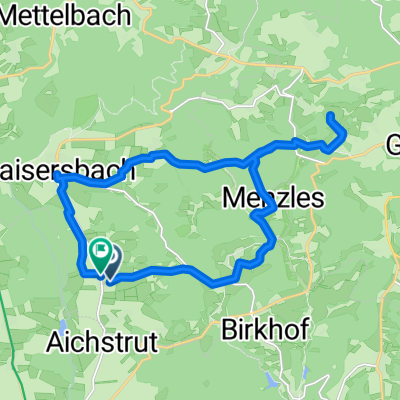
Wanderweg_Ebnisee_Freizeitzentrum Sechselberg
A cycling route starting in Kaisersbach, Baden-Wurttemberg, Germany.
Overview
About this route
- -:--
- Duration
- 7.3 km
- Distance
- 130 m
- Ascent
- 105 m
- Descent
- ---
- Avg. speed
- 562 m
- Max. altitude
Route quality
Waytypes & surfaces along the route
Waytypes
Track
6.1 km
(83 %)
Quiet road
0.5 km
(7 %)
Surfaces
Paved
1.7 km
(23 %)
Unpaved
5.4 km
(74 %)
Gravel
4.2 km
(57 %)
Asphalt
1.4 km
(19 %)
Route highlights
Points of interest along the route
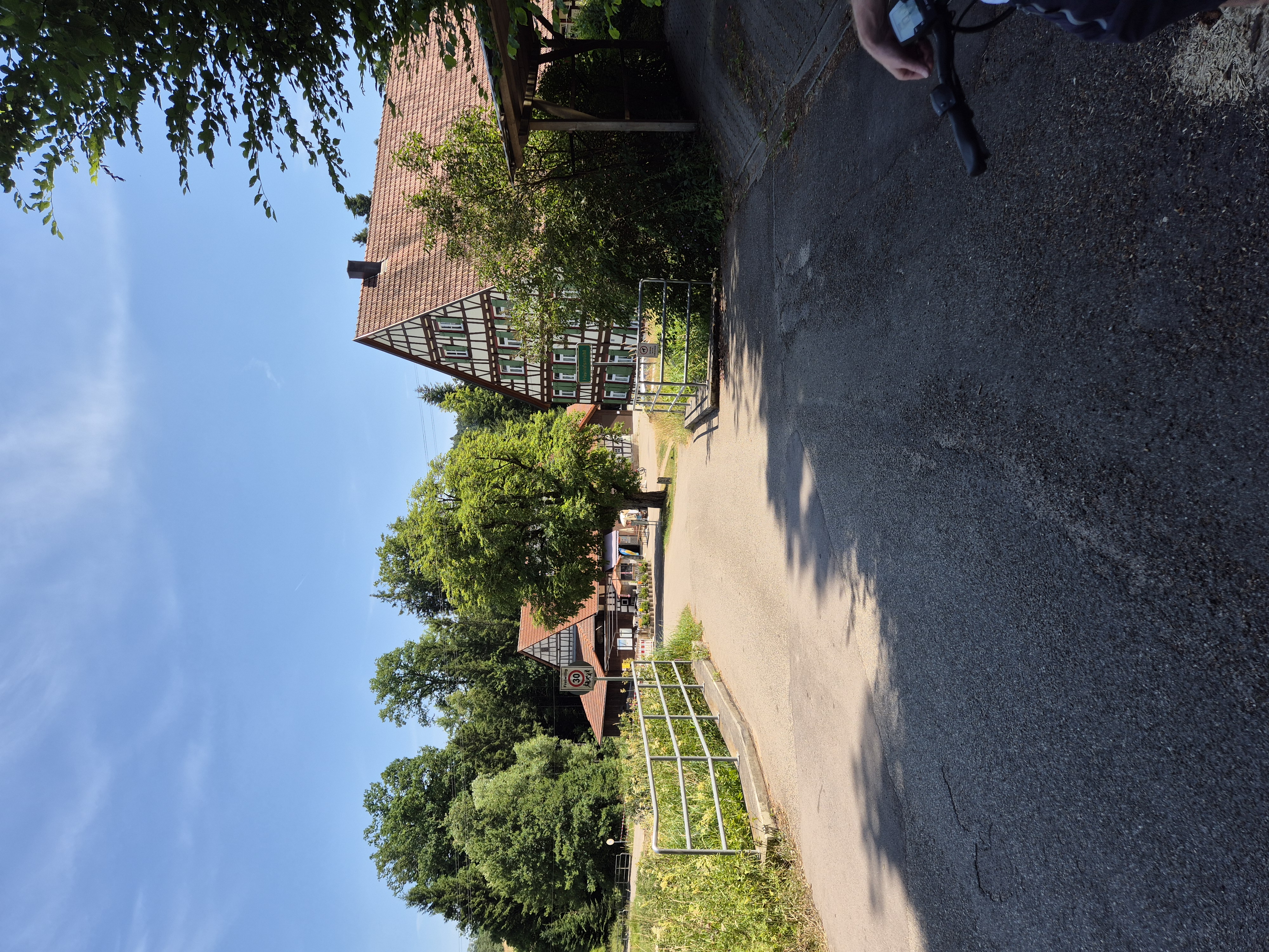
Point of interest after 7.3 km
Freizeitzentrum Sechselberg
Continue with Bikemap
Use, edit, or download this cycling route
You would like to ride Wanderweg_Ebnisee_Freizeitzentrum Sechselberg or customize it for your own trip? Here is what you can do with this Bikemap route:
Free features
- Save this route as favorite or in collections
- Copy & plan your own version of this route
- Sync your route with Garmin or Wahoo
Premium features
Free trial for 3 days, or one-time payment. More about Bikemap Premium.
- Navigate this route on iOS & Android
- Export a GPX / KML file of this route
- Create your custom printout (try it for free)
- Download this route for offline navigation
Discover more Premium features.
Get Bikemap PremiumFrom our community
Other popular routes starting in Kaisersbach
 Ebnisee - Freizeitzentrum Sechselberg
- Distance
- 6.2 km
- Ascent
- 104 m
- Descent
- 104 m
- Location
- Kaisersbach, Baden-Wurttemberg, Germany
 Route in Gebenweiler
- Distance
- 18.7 km
- Ascent
- 473 m
- Descent
- 473 m
- Location
- Kaisersbach, Baden-Wurttemberg, Germany
 Wanderweg_Ebnisee_Freizeitzentrum Sechselberg
- Distance
- 7.3 km
- Ascent
- 130 m
- Descent
- 105 m
- Location
- Kaisersbach, Baden-Wurttemberg, Germany
 MTB SW Teil 7 Monk's Farm
- Distance
- 25.7 km
- Ascent
- 500 m
- Descent
- 501 m
- Location
- Kaisersbach, Baden-Wurttemberg, Germany
 Unterneustetten 9, Murrhardt nach Unterneustetten 9, Murrhardt
- Distance
- 14.6 km
- Ascent
- 318 m
- Descent
- 297 m
- Location
- Kaisersbach, Baden-Wurttemberg, Germany
 Aichstruter Straße nach Gehren
- Distance
- 18.6 km
- Ascent
- 192 m
- Descent
- 338 m
- Location
- Kaisersbach, Baden-Wurttemberg, Germany
 Ebnisee / Kaisersbach
- Distance
- 1.7 km
- Ascent
- 19 m
- Descent
- 21 m
- Location
- Kaisersbach, Baden-Wurttemberg, Germany
 Ebniseerunde
- Distance
- 23 km
- Ascent
- 289 m
- Descent
- 288 m
- Location
- Kaisersbach, Baden-Wurttemberg, Germany
Open it in the app