

Heiser_ManilaOne
A cycling route starting in Cross Lanes, West Virginia, United States.
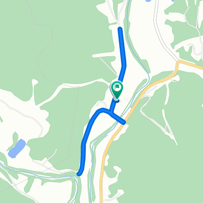
Overview
About this route
20 miles of flat riding up Heizer and down Manilo, but plenty of climbing on Bowles and Grandview Ridge. Great vistas.
0.0 Start at Poca Library/Middle School. Head north on Rt. 61<br />
0.4 Right on Rt. 27 Heizers Creek.
10.4 Right on Rt. 34 after short steep climb.
13.6 Right on 34/8 Bowles Ridge
15.6 Left and go past church to continue on 24/8
16.5 Left to stay on 34/8.
18 Straight (34/8 goes right up steep grade.) Short steep climb coming up.<br />
18.3 Left on Rt. 11 Grandview Ridge. Long clmb ahe22.1 Continue straight at intersection with Rt. 12.
23.9 Left on 34. Long downhill coming up followed by long climb to Paradise.
26.6 Right on Rt. 5 Manila Rd. after passing Bowles Ridge.
34.8 Right on Rt 21.
36.4 Left on Rt. 61.
36.7 Finish<br />
- -:--
- Duration
- 59.1 km
- Distance
- 468 m
- Ascent
- 468 m
- Descent
- ---
- Avg. speed
- ---
- Max. altitude
Route quality
Waytypes & surfaces along the route
Waytypes
Road
33.1 km
(56 %)
Quiet road
16 km
(27 %)
Undefined
10 km
(17 %)
Continue with Bikemap
Use, edit, or download this cycling route
You would like to ride Heiser_ManilaOne or customize it for your own trip? Here is what you can do with this Bikemap route:
Free features
- Save this route as favorite or in collections
- Copy & plan your own version of this route
- Sync your route with Garmin or Wahoo
Premium features
Free trial for 3 days, or one-time payment. More about Bikemap Premium.
- Navigate this route on iOS & Android
- Export a GPX / KML file of this route
- Create your custom printout (try it for free)
- Download this route for offline navigation
Discover more Premium features.
Get Bikemap PremiumFrom our community
Other popular routes starting in Cross Lanes
 210 Camp Virgil Tate Rd, Charleston to 210 Camp Virgil Tate Rd, Charleston
- Distance
- 4.4 km
- Ascent
- 49 m
- Descent
- 39 m
- Location
- Cross Lanes, West Virginia, United States
 210 Camp Virgil Tate Rd, Charleston to 210 Camp Virgil Tate Rd, Charleston
- Distance
- 2.3 km
- Ascent
- 35 m
- Descent
- 34 m
- Location
- Cross Lanes, West Virginia, United States
 Heiser_ManilaOne
- Distance
- 59.1 km
- Ascent
- 468 m
- Descent
- 468 m
- Location
- Cross Lanes, West Virginia, United States
Open it in the app