

Strada Școlii, Constanța to Strada Școlii, Constanța
A cycling route starting in Constanța, Constanța County, Romania.
Overview
About this route
- 4 h 31 min
- Duration
- 48.5 km
- Distance
- 286 m
- Ascent
- 285 m
- Descent
- 10.7 km/h
- Avg. speed
- 47 m
- Max. altitude

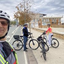
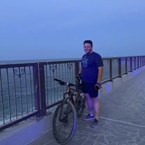
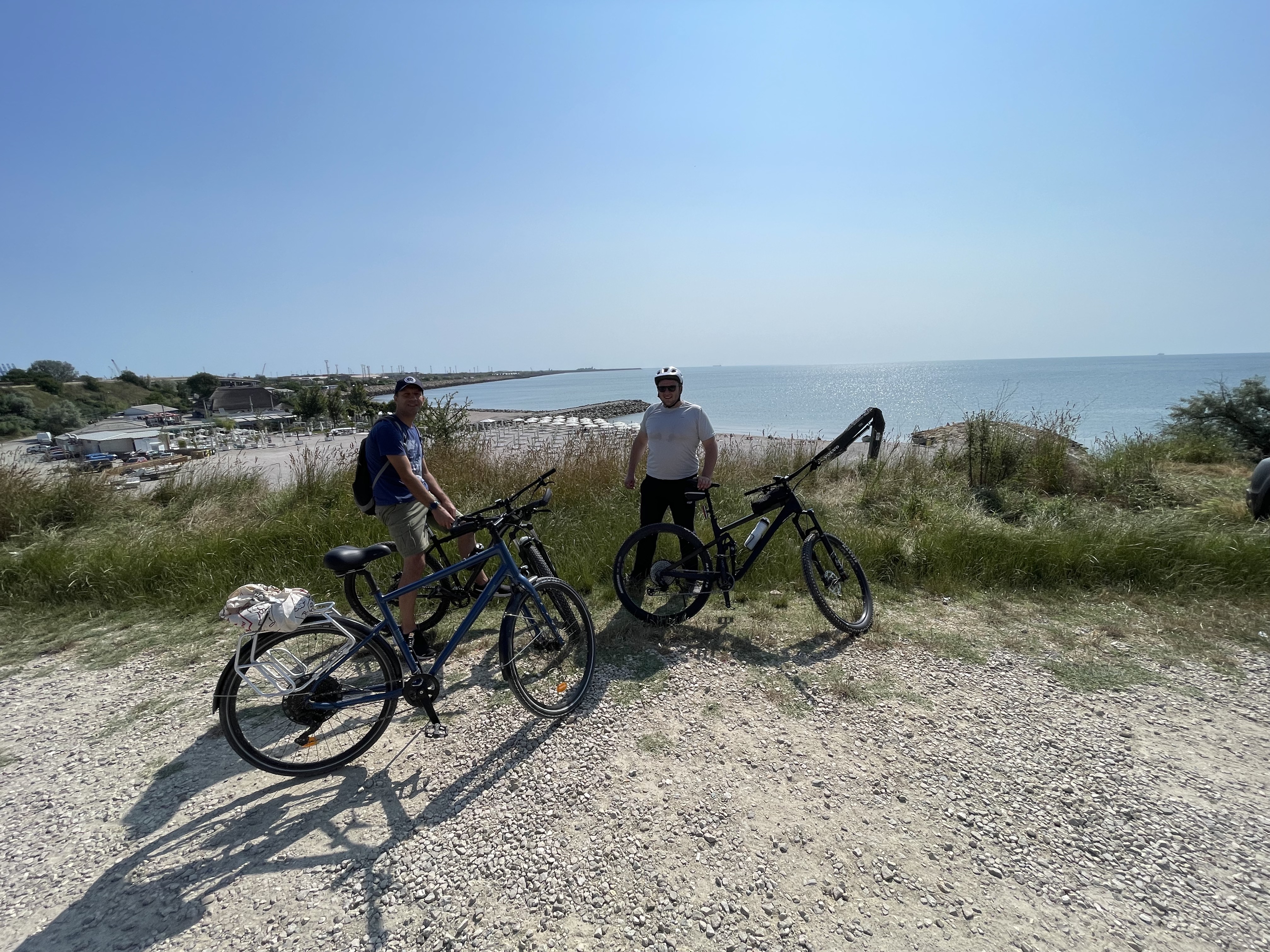
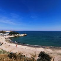
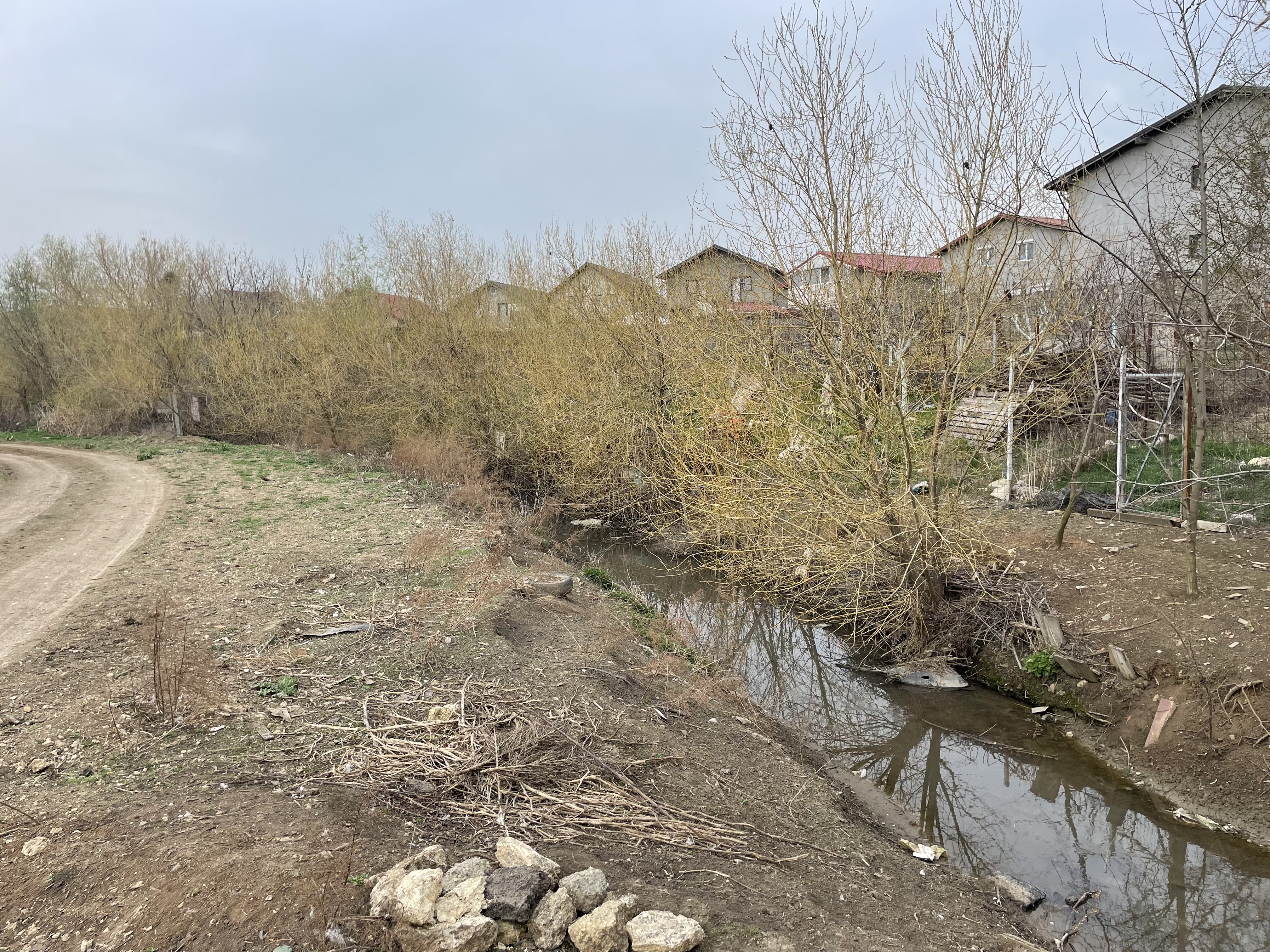
Route photos


Continue with Bikemap
Use, edit, or download this cycling route
You would like to ride Strada Școlii, Constanța to Strada Școlii, Constanța or customize it for your own trip? Here is what you can do with this Bikemap route:
Free features
- Save this route as favorite or in collections
- Copy & plan your own version of this route
- Sync your route with Garmin or Wahoo
Premium features
Free trial for 3 days, or one-time payment. More about Bikemap Premium.
- Navigate this route on iOS & Android
- Export a GPX / KML file of this route
- Create your custom printout (try it for free)
- Download this route for offline navigation
Discover more Premium features.
Get Bikemap PremiumFrom our community
Other popular routes starting in Constanța
 Constanța - Mamaia și retur
- Distance
- 15.6 km
- Ascent
- 28 m
- Descent
- 28 m
- Location
- Constanța, Constanța County, Romania
 Constanta - Neptun
- Distance
- 46.8 km
- Ascent
- 164 m
- Descent
- 199 m
- Location
- Constanța, Constanța County, Romania
 Tura Constanta-lacul Sutghiol
- Distance
- 53.5 km
- Ascent
- 207 m
- Descent
- 241 m
- Location
- Constanța, Constanța County, Romania
 Bulevardul 1 Mai, Constanța to Bulevardul 1 Mai, Constanța
- Distance
- 26.9 km
- Ascent
- 106 m
- Descent
- 101 m
- Location
- Constanța, Constanța County, Romania
 Bulevardul 1 Mai, Constanța to Bulevardul Republicii, Eforie
- Distance
- 23.7 km
- Ascent
- 142 m
- Descent
- 165 m
- Location
- Constanța, Constanța County, Romania
 Strada Ion Ursu 72, Constanța to Strada Soveja, Constanța
- Distance
- 9.7 km
- Ascent
- 88 m
- Descent
- 130 m
- Location
- Constanța, Constanța County, Romania
 Faleza Sud Techirghiol
- Distance
- 65 km
- Ascent
- 516 m
- Descent
- 516 m
- Location
- Constanța, Constanța County, Romania
 Strada Școlii, Constanța to Strada Școlii, Constanța
- Distance
- 54.5 km
- Ascent
- 296 m
- Descent
- 297 m
- Location
- Constanța, Constanța County, Romania
Open it in the app