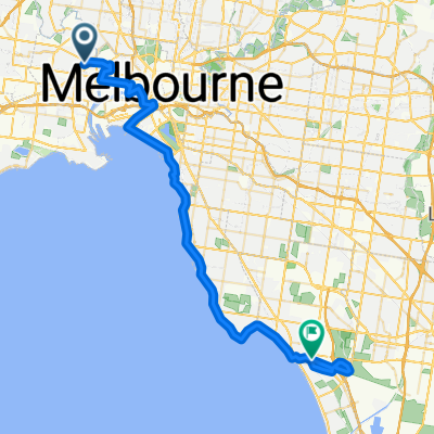
1 Warde St, Footscray to Hopkins St, West Melbourne
- 3.7 km
- 7 m
- 24 m
- Footscray, Victoria, Australia
A cycling route starting in Footscray, Victoria, Australia.
Overview
Note: Travels through Lloyd St Business Park. When travelling West (from city), the gate is sometimes locked. Use code 4570 to get through.
Footscray to Capital City Trail... keep following upfield bike path for more north side destinations.. if u wanna go to the city... i generally go up arden, right at courtney (roundabout) then right at howard and down william st. If im heading to carlton/fitzroy I follow courtney to queensberry st which takes u thru carlton gardens to gertrude. If you're heading south side or to flinders/southbank, i follow the moonee ponds creek trail in the other direction, past docklands etc and onto the yarra trail near southbank
created this 1 year ago
Route quality
Cycleway
4.9 km
62 %
Quiet road
2.1 km
27 %
Paved
7.8 km
(100 %)
Asphalt
5.6 km
72 %
Concrete
2.1 km
27 %
Paved (undefined)
0.1 km
1 %
Route highlights
security gate... is sometimes locked after business hours... ask leon for the code
Follow Arden up the hill to head into the city via howard st, or onto queensberry st to get to fitzroy/collingwood. to get to flinders/southbank/southside Turn right and follow Moonee Pond creek trail south
Continue with Bikemap
You would like to ride Footscray to Brunswick / upfield bike path or customize it for your own trip? Here is what you can do with this Bikemap route:
Free trial for 3 days, or one-time payment. More about Bikemap Premium.
Discover more Premium features.
Get Bikemap PremiumFrom our community
Open it in the app