


Wilsdruff - Landberg - Helbigsdorf - Sora - Wilsdruff
- 31.5 km
- 274 m
- 274 m
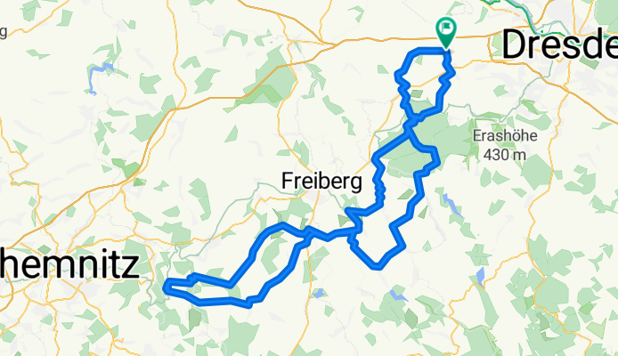
- Wilsdruff, Saxony, Germany
A cycling route starting in Wilsdruff, Saxony, Germany.
Overview
Route ridden on: 01.05.2009OUTWARD:CM 4.4A : 66.94 km | 1,089 m elevation gainRiding time 03:28:23
RETURN: CM 4.4A : 66.89 km | 815 m elevation gain Riding time 03:12:58 ---------------------------------------
Σ
CM 4.4A : 133.83 km | 1904 m elevation gainRiding time 06:41:21 at an average speed of 20.0 km/h
Conclusion: it’s actually not that far to Augustusburg – and the girls also mastered it with flying colours!
created this 13 years ago
Route quality
Track
35.2 km
(26 %)
Road
23 km
(17 %)
Paved
96.2 km
(71 %)
Unpaved
28.4 km
(21 %)
Asphalt
90.7 km
(67 %)
Gravel
17.6 km
(13 %)
Continue with Bikemap
You would like to ride Wilsdruff - Grillenburg - Colmnitz - Bobritzsch - Lichtenberg - Weißenborn - Brand-Erbisdorf - St. Michaelis - Gahlenz - Augustusburg - Leubsdorf - Eppendorf - or customize it for your own trip? Here is what you can do with this Bikemap route:
Free trial for 3 days, or one-time payment. More about Bikemap Premium.
Discover more Premium features.
Get Bikemap PremiumFrom our community
Open it in the app


