

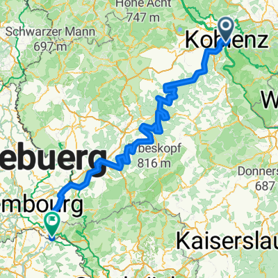
Koblenz -Biedenkopf auf dem Lahnradweg
A cycling route starting in Koblenz, Rhineland-Palatinate, Germany.
Overview
About this route
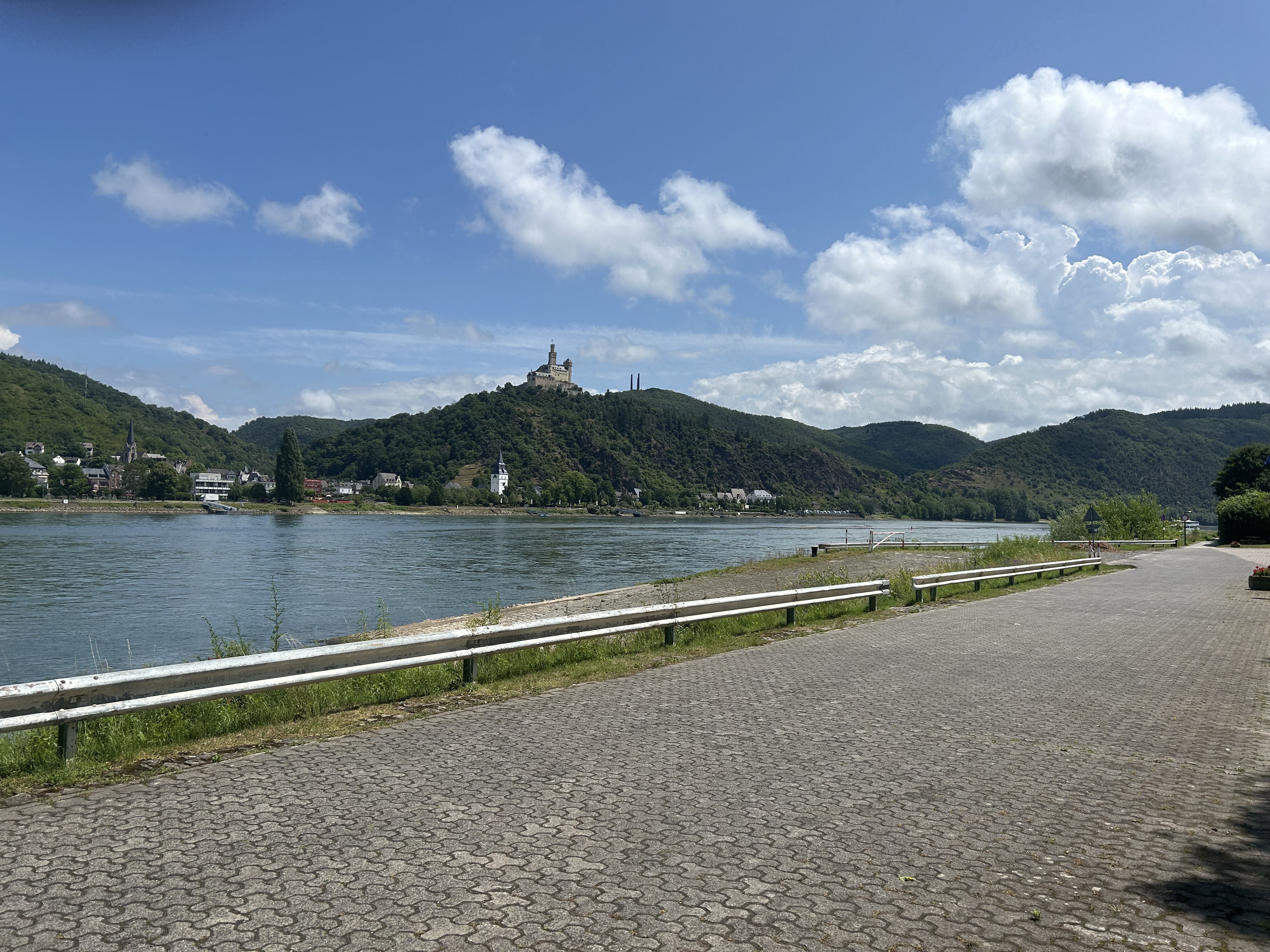
On the Lahn Cycle Path from Koblenz to Lahnstein, then further to Bad Ems. After short but strenuous ascents, you reach the Arnstein Monastery. Between Laurenburg and Balduinstein, it is advisable to take the train to avoid the steep route over Holzappel. Through beautiful landscapes, the journey continues to Limburg and Weilburg. Unfortunately, after that, the cycle path turns into a constant crossing of highways and railway lines. After Giessen, it becomes more tranquil again and the route is flatter. After the romantic Marburg, it continues through the Lahntal. The track makes a small detour over Michelbach. With a manageable incline, you gain a few meters in elevation, then enjoy a rapid descent on the lightly traveled country road. In Biedenkopf, the cycle path routing is somewhat unnecessarily strenuous. The main road would surely have been easier. Once you have battled the last meters of elevation to Biedenkopf Castle, the view is a well-deserved reward.
- -:--
- Duration
- 223 km
- Distance
- 573 m
- Ascent
- 280 m
- Descent
- ---
- Avg. speed
- ---
- Max. altitude
Route quality
Waytypes & surfaces along the route
Waytypes
Track
87 km
(39 %)
Quiet road
46.8 km
(21 %)
Surfaces
Paved
196.3 km
(88 %)
Unpaved
8.9 km
(4 %)
Asphalt
187.4 km
(84 %)
Gravel
8.9 km
(4 %)
Route highlights
Points of interest along the route
Point of interest after 21 km
Point of interest after 38 km
Point of interest after 197.9 km
kleiner Umweg über Michelbach
Point of interest after 202 km
zur Belohnung gibts hier ne tolle Abfahrt
Point of interest after 218.3 km
ab hier sagte ich mir: die Hauptstraße wäre bequemer gewesen
Continue with Bikemap
Use, edit, or download this cycling route
You would like to ride Koblenz -Biedenkopf auf dem Lahnradweg or customize it for your own trip? Here is what you can do with this Bikemap route:
Free features
- Save this route as favorite or in collections
- Copy & plan your own version of this route
- Split it into stages to create a multi-day tour
- Sync your route with Garmin or Wahoo
Premium features
Free trial for 3 days, or one-time payment. More about Bikemap Premium.
- Navigate this route on iOS & Android
- Export a GPX / KML file of this route
- Create your custom printout (try it for free)
- Download this route for offline navigation
Discover more Premium features.
Get Bikemap PremiumFrom our community
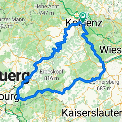
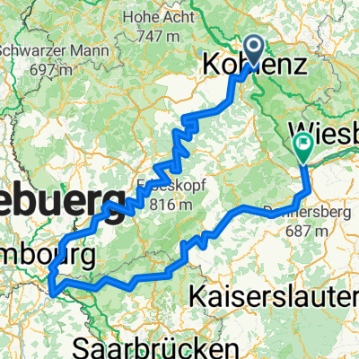
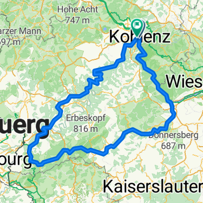
Other popular routes starting in Koblenz
 Mosel-Radweg
- Distance
- 266.6 km
- Ascent
- 2,624 m
- Descent
- 2,533 m
- Location
- Koblenz, Rhineland-Palatinate, Germany
 Roman Gebbi
- Distance
- 417.8 km
- Ascent
- 5,302 m
- Descent
- 5,303 m
- Location
- Koblenz, Rhineland-Palatinate, Germany
 moseltour trier - koblenz
- Distance
- 205.6 km
- Ascent
- 554 m
- Descent
- 483 m
- Location
- Koblenz, Rhineland-Palatinate, Germany
 #16 Koblenz to Bonn
- Distance
- 70.7 km
- Ascent
- 59 m
- Descent
- 66 m
- Location
- Koblenz, Rhineland-Palatinate, Germany
 Mosel / Nahe Tour
- Distance
- 532.1 km
- Ascent
- 6,856 m
- Descent
- 6,850 m
- Location
- Koblenz, Rhineland-Palatinate, Germany
 Roman Gebbi
- Distance
- 403 km
- Ascent
- 5,182 m
- Descent
- 5,184 m
- Location
- Koblenz, Rhineland-Palatinate, Germany
 Koblenz naar Hindenburganlage, Bingen am Rhein
- Distance
- 61.5 km
- Ascent
- 194 m
- Descent
- 168 m
- Location
- Koblenz, Rhineland-Palatinate, Germany
 Mosel Thionville Mosel
- Distance
- 267 km
- Ascent
- 1,060 m
- Descent
- 989 m
- Location
- Koblenz, Rhineland-Palatinate, Germany
Open it in the app