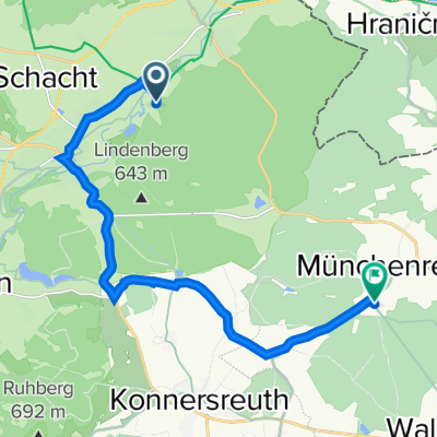
HEWA-Schirnding-Sokolov-Schirnding
A cycling route starting in Schirnding, Bavaria, Germany.
Overview
About this route
To Eger via secondary roads No. 6 to Chocovice, from here on the new cycle path along the Eger to Sokolov. In Dasnice, a short stretch on the secondary road with a climb of about 60 hm.
- -:--
- Duration
- 90.8 km
- Distance
- 312 m
- Ascent
- 312 m
- Descent
- ---
- Avg. speed
- ---
- Max. altitude
Route quality
Waytypes & surfaces along the route
Waytypes
Cycleway
40.9 km
(45 %)
Road
17.3 km
(19 %)
Surfaces
Paved
71.7 km
(79 %)
Unpaved
0.9 km
(1 %)
Asphalt
69.9 km
(77 %)
Paved (undefined)
1.8 km
(2 %)
Continue with Bikemap
Use, edit, or download this cycling route
You would like to ride HEWA-Schirnding-Sokolov-Schirnding or customize it for your own trip? Here is what you can do with this Bikemap route:
Free features
- Save this route as favorite or in collections
- Copy & plan your own version of this route
- Split it into stages to create a multi-day tour
- Sync your route with Garmin or Wahoo
Premium features
Free trial for 3 days, or one-time payment. More about Bikemap Premium.
- Navigate this route on iOS & Android
- Export a GPX / KML file of this route
- Create your custom printout (try it for free)
- Download this route for offline navigation
Discover more Premium features.
Get Bikemap PremiumFrom our community
Other popular routes starting in Schirnding
Czech 2- Distance
- 145.8 km
- Ascent
- 2,418 m
- Descent
- 2,464 m
- Location
- Schirnding, Bavaria, Germany
Arzberg nach Kappl 2, Waldsassen- Distance
- 13.4 km
- Ascent
- 293 m
- Descent
- 157 m
- Location
- Schirnding, Bavaria, Germany
HEWA-Schirnding-Sokolov-Schirnding- Distance
- 90.8 km
- Ascent
- 312 m
- Descent
- 312 m
- Location
- Schirnding, Bavaria, Germany
2019- Distance
- 818.8 km
- Ascent
- 1,516 m
- Descent
- 1,450 m
- Location
- Schirnding, Bavaria, Germany
Egerstausee Kraftwerk Hirschsprung Runde ab Schirnding- Distance
- 34.5 km
- Ascent
- 497 m
- Descent
- 495 m
- Location
- Schirnding, Bavaria, Germany
Schirnding-Ellbogen und zurück- Distance
- 96 km
- Ascent
- 462 m
- Descent
- 462 m
- Location
- Schirnding, Bavaria, Germany
Wellertalrunde- Distance
- 34.1 km
- Ascent
- 316 m
- Descent
- 306 m
- Location
- Schirnding, Bavaria, Germany
Stefans Kappelroute- Distance
- 20.7 km
- Ascent
- 323 m
- Descent
- 185 m
- Location
- Schirnding, Bavaria, Germany
Open it in the app

