Recovered Route
A cycling route starting in Echo Park, California, United States.
Overview
About this route
- 36 min
- Duration
- 12.6 km
- Distance
- 130 m
- Ascent
- 42 m
- Descent
- 21.1 km/h
- Avg. speed
- 210 m
- Max. altitude
Continue with Bikemap
Use, edit, or download this cycling route
You would like to ride Recovered Route or customize it for your own trip? Here is what you can do with this Bikemap route:
Free features
- Save this route as favorite or in collections
- Copy & plan your own version of this route
- Sync your route with Garmin or Wahoo
Premium features
Free trial for 3 days, or one-time payment. More about Bikemap Premium.
- Navigate this route on iOS & Android
- Export a GPX / KML file of this route
- Create your custom printout (try it for free)
- Download this route for offline navigation
Discover more Premium features.
Get Bikemap PremiumFrom our community
Other popular routes starting in Echo Park
- La Canada and back
- Distance
- 29 km
- Ascent
- 418 m
- Descent
- 169 m
- Location
- Echo Park, California, United States
- creepin
- Distance
- 8.9 km
- Ascent
- 204 m
- Descent
- 199 m
- Location
- Echo Park, California, United States
- Jefferies2zoo2UniversalStudios2HollywoodSign2GriffithOb
- Distance
- 56.1 km
- Ascent
- 637 m
- Descent
- 637 m
- Location
- Echo Park, California, United States
- fileggf
- Distance
- 8 km
- Ascent
- 90 m
- Descent
- 95 m
- Location
- Echo Park, California, United States
- 2414 Gatewood St, Los Angeles to 2414 Gatewood St, Los Angeles
- Distance
- 20.5 km
- Ascent
- 79 m
- Descent
- 80 m
- Location
- Echo Park, California, United States
- Recovered Route
- Distance
- 12.6 km
- Ascent
- 130 m
- Descent
- 42 m
- Location
- Echo Park, California, United States
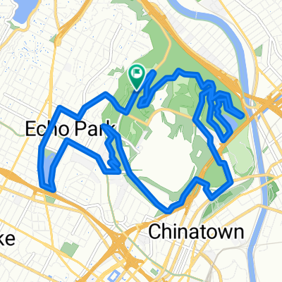
- Los Feliz Afternoon Arch
- Distance
- 22.7 km
- Ascent
- 322 m
- Descent
- 321 m
- Location
- Echo Park, California, United States
- Griffith Park/Ktown Loop
- Distance
- 33.5 km
- Ascent
- 397 m
- Descent
- 398 m
- Location
- Echo Park, California, United States
Open it in the app