Ebersbach
- 15.7 km
- 413 m
- 341 m
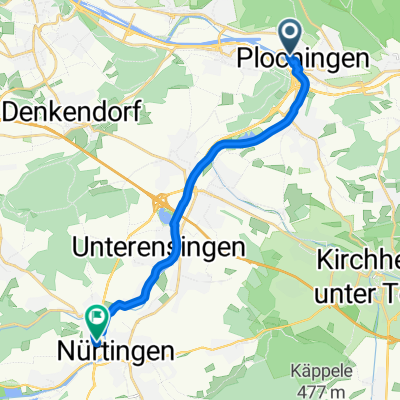
- Plochingen, Baden-Wurttemberg, Germany
A cycling route starting in Plochingen, Baden-Wurttemberg, Germany.
Overview
In Plochingen, first go up Schorndorfer Straße to Stumpenhof, from there continue right on the bike path, always straight uphill. Eventually, the path leads into the forest, keep following it until the landfill, then turn right, continue along the path to Baltmannsweiler, there just keep going straight through (I believe there's no bike path there anymore), do not take the bypass but stay on a rather inconspicuous path to the right of the road, which leads a bit away from it, and in the village just keep going straight – stay on the main street. Eventually, this leads to a roundabout where you rejoin the main road, then always go straight on the road until a fairly large intersection where roads go toward Schnait, Winterbach etc. – turn right there (towards Thomashardt, Lichtenwald etc.). Keep following the road straight, don’t turn toward Lichtenwald, don’t turn toward Büchenbronn, but later toward Krapfenreut. There, take Krapfenreuter Straße, it goes downhill again through the forest, watch out for horses and fast cars. Then keep going downhill until you reach the center of Ebersbach. Turn right there, go straight over the railway bridge, follow the road, at the roundabout turn right, again at the roundabout turn right, and just keep going straight to Reichenbach along the road – unfortunately I don’t know of a bike path there. Just before the end of Reichenbach, I turn right into Ziegelstraße, keep going uphill to Siegenbergstraße, and I go home over Siegenberg.
created this 13 years ago
Route quality
Road
9.8 km
(31 %)
Quiet road
3.5 km
(11 %)
Paved
27.2 km
(86 %)
Asphalt
26.6 km
(84 %)
Paved (undefined)
0.6 km
(2 %)
Undefined
4.4 km
(14 %)
Continue with Bikemap
You would like to ride Lettenäcker-Ebersbach or customize it for your own trip? Here is what you can do with this Bikemap route:
Free trial for 3 days, or one-time payment. More about Bikemap Premium.
Discover more Premium features.
Get Bikemap PremiumFrom our community
Open it in the app