

2025 May - Ausztria
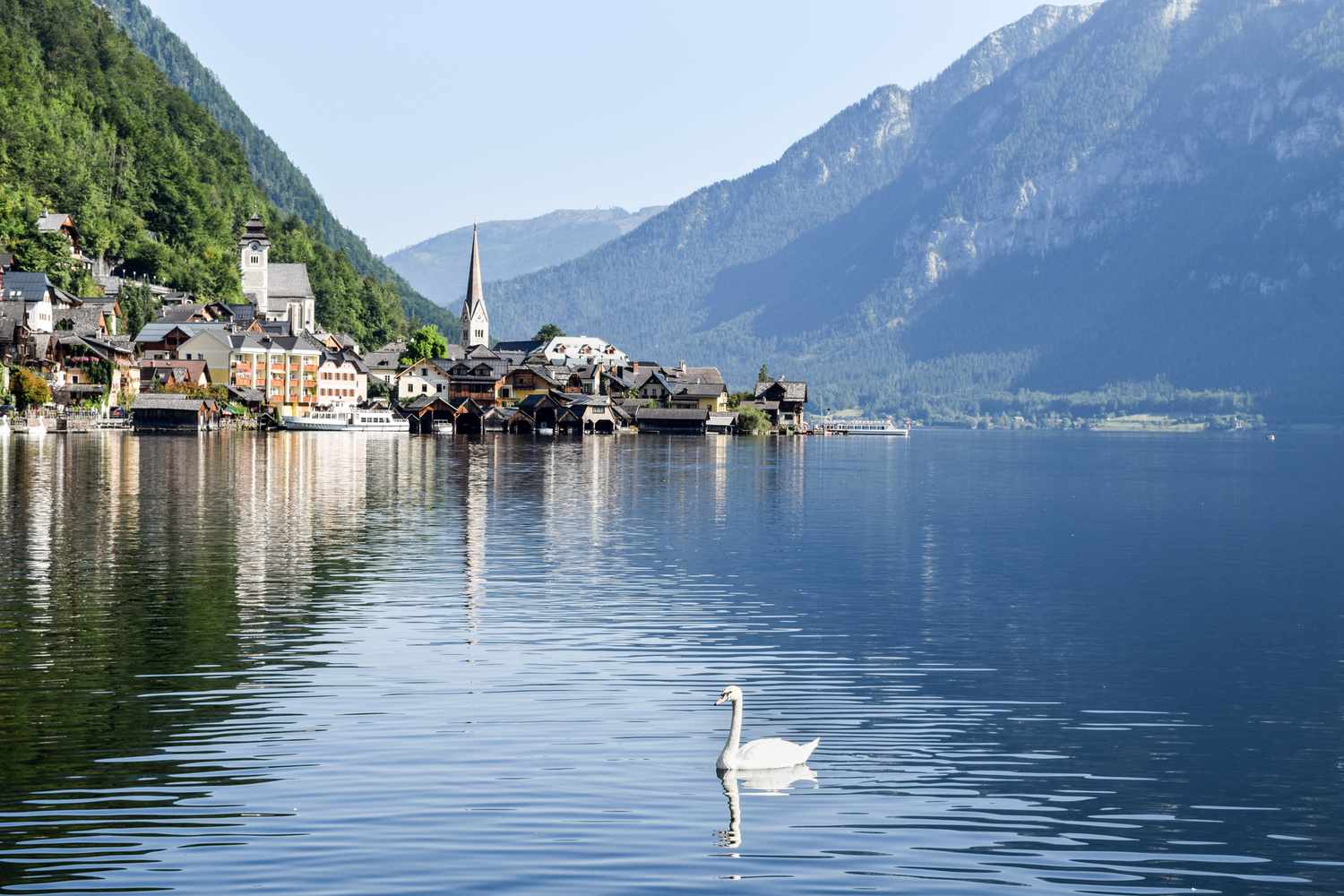
Waging See round
A cycling route starting in Oberndorf bei Salzburg, Salzburg, Austria.
Overview
About this route
- 2 h 15 min
- Duration
- 33.7 km
- Distance
- 396 m
- Ascent
- 364 m
- Descent
- 15 km/h
- Avg. speed
- 483 m
- Max. altitude

Part of
2025 May - Ausztria
3 stages
Route quality
Waytypes & surfaces along the route
Waytypes
Path
13.9 km
(41 %)
Quiet road
6.8 km
(20 %)
Surfaces
Paved
29.4 km
(87 %)
Unpaved
0.9 km
(3 %)
Asphalt
29.3 km
(87 %)
Gravel
0.8 km
(2 %)
Continue with Bikemap
Use, edit, or download this cycling route
You would like to ride Waging See round or customize it for your own trip? Here is what you can do with this Bikemap route:
Free features
- Save this route as favorite or in collections
- Copy & plan your own version of this route
- Sync your route with Garmin or Wahoo
Premium features
Free trial for 3 days, or one-time payment. More about Bikemap Premium.
- Navigate this route on iOS & Android
- Export a GPX / KML file of this route
- Create your custom printout (try it for free)
- Download this route for offline navigation
Discover more Premium features.
Get Bikemap PremiumFrom our community
Other popular routes starting in Oberndorf bei Salzburg
 Mozart-Radweg Etappe 06: Laufen - Waging am See
- Distance
- 30.9 km
- Ascent
- 240 m
- Descent
- 168 m
- Location
- Oberndorf bei Salzburg, Salzburg, Austria
 Oberndorf-Porsche-Reichenhall-Oberndorf 64 km
- Distance
- 64.5 km
- Ascent
- 258 m
- Descent
- 258 m
- Location
- Oberndorf bei Salzburg, Salzburg, Austria
 Oberndorf - Salzburg - Oberndorf 1
- Distance
- 68.3 km
- Ascent
- 145 m
- Descent
- 151 m
- Location
- Oberndorf bei Salzburg, Salzburg, Austria
 salzburg
- Distance
- 17.3 km
- Ascent
- 37 m
- Descent
- 24 m
- Location
- Oberndorf bei Salzburg, Salzburg, Austria
 Rakousko 2012-15.den-28.7.So
- Distance
- 46.7 km
- Ascent
- 205 m
- Descent
- 246 m
- Location
- Oberndorf bei Salzburg, Salzburg, Austria
 OÖ/OBB LF - Tittm. - Rautenham - Cafe - LF
- Distance
- 50.1 km
- Ascent
- 141 m
- Descent
- 140 m
- Location
- Oberndorf bei Salzburg, Salzburg, Austria
 Oberndorf - Salzburg - Oberndorf 2
- Distance
- 67 km
- Ascent
- 145 m
- Descent
- 142 m
- Location
- Oberndorf bei Salzburg, Salzburg, Austria
 Von Oberndorf um den Stierlinger Wald (Tour 16)
- Distance
- 28.4 km
- Ascent
- 179 m
- Descent
- 179 m
- Location
- Oberndorf bei Salzburg, Salzburg, Austria
Open it in the app