Peppercombe Avenue 12 to Cadbury Cres 22
- 45.7 km
- 534 m
- 538 m
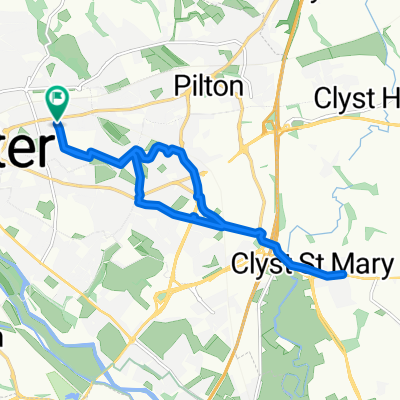
- Heavitree, England, United Kingdom
A cycling route starting in Heavitree, England, United Kingdom.
Overview
created this 13 years ago
Route quality
Quiet road
20.9 km
(19 %)
Cycleway
16.5 km
(15 %)
Paved
54.9 km
(50 %)
Asphalt
52.7 km
(48 %)
Paved (undefined)
2.2 km
(2 %)
Undefined
54.9 km
(50 %)
Continue with Bikemap
You would like to ride teignmouth- moretonhampstead or customize it for your own trip? Here is what you can do with this Bikemap route:
Free trial for 3 days, or one-time payment. More about Bikemap Premium.
Discover more Premium features.
Get Bikemap PremiumFrom our community
Open it in the app