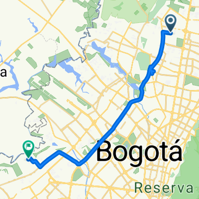
Entrenamiento norte
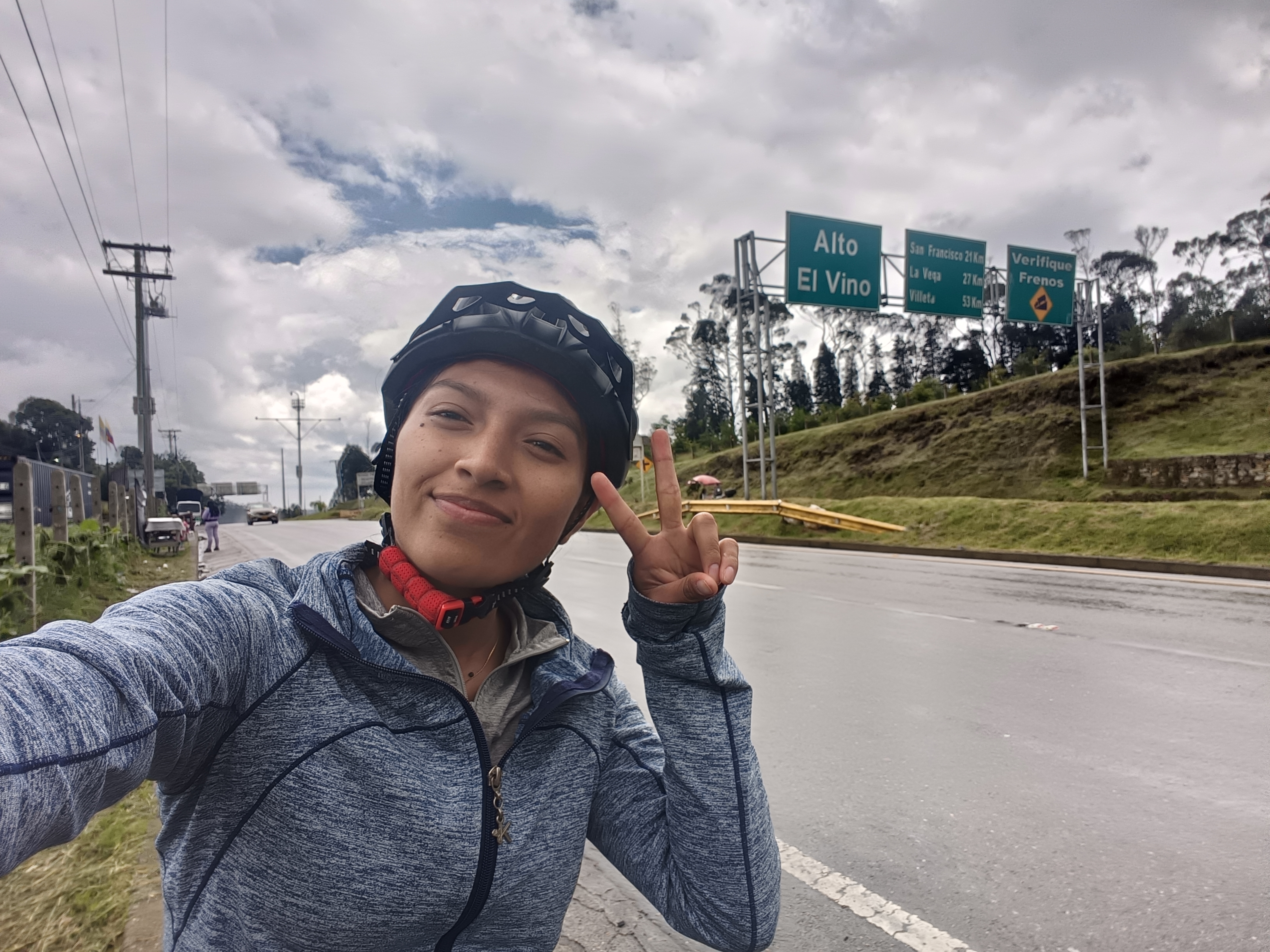
A cycling route starting in Cota, Cundinamarca, Colombia.
Overview
About this route
Route: Service station 170, highway, Briceño, Gachancipá, return toll booth El Roble, Briceño, Sopó, Alto de las Arepas
- -:--
- Duration
- 91.5 km
- Distance
- 332 m
- Ascent
- 164 m
- Descent
- ---
- Avg. speed
- ---
- Max. altitude
Continue with Bikemap
Use, edit, or download this cycling route
You would like to ride Entrenamiento norte or customize it for your own trip? Here is what you can do with this Bikemap route:
Free features
- Save this route as favorite or in collections
- Copy & plan your own version of this route
- Split it into stages to create a multi-day tour
- Sync your route with Garmin or Wahoo
Premium features
Free trial for 3 days, or one-time payment. More about Bikemap Premium.
- Navigate this route on iOS & Android
- Export a GPX / KML file of this route
- Create your custom printout (try it for free)
- Download this route for offline navigation
Discover more Premium features.
Get Bikemap PremiumFrom our community
Other popular routes starting in Cota
- Polideportivo Ciudadela Colsubsidio
- Distance
- 9.3 km
- Ascent
- 45 m
- Descent
- 52 m
- Location
- Cota, Cundinamarca, Colombia
- Bogotá - Santa Marta - Valledupar - Bucaramanga - Bogotá
- Distance
- 2,131.1 km
- Ascent
- 4,580 m
- Descent
- 4,570 m
- Location
- Cota, Cundinamarca, Colombia
- De Bogotá a Carrera 94m 91-15, Bogotá
- Distance
- 56.6 km
- Ascent
- 417 m
- Descent
- 410 m
- Location
- Cota, Cundinamarca, Colombia
- De Cota a Carrera 3 4-19, Tabio
- Distance
- 16.1 km
- Ascent
- 163 m
- Descent
- 136 m
- Location
- Cota, Cundinamarca, Colombia
- De Carrera 16 6, Bogotá a Carrera 16 6, Bogotá
- Distance
- 12.8 km
- Ascent
- 45 m
- Descent
- 48 m
- Location
- Cota, Cundinamarca, Colombia
- Suba a Zipaquirá
- Distance
- 40.5 km
- Ascent
- 1,072 m
- Descent
- 1,014 m
- Location
- Cota, Cundinamarca, Colombia
- Calle 80 / Madrid / Alto el Vino
- Distance
- 84.9 km
- Ascent
- 469 m
- Descent
- 471 m
- Location
- Cota, Cundinamarca, Colombia
- Bogotá / Madrid / Alto el vino
- Distance
- 40.4 km
- Ascent
- 399 m
- Descent
- 106 m
- Location
- Cota, Cundinamarca, Colombia
Open it in the app