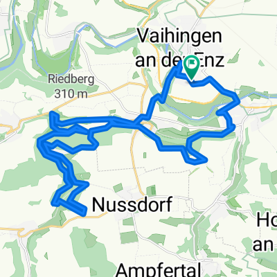
Rundtour Vaihingen/Enz-Pforzheim-Mühlacker
A cycling route starting in Vaihingen an der Enz, Baden-Wurttemberg, Germany.
Overview
About this route
- -:--
- Duration
- 90.2 km
- Distance
- 722 m
- Ascent
- 722 m
- Descent
- ---
- Avg. speed
- ---
- Max. altitude
Route quality
Waytypes & surfaces along the route
Waytypes
Road
44.2 km
(49 %)
Quiet road
3.6 km
(4 %)
Surfaces
Paved
73.9 km
(82 %)
Asphalt
73.9 km
(82 %)
Undefined
16.2 km
(18 %)
Route highlights
Points of interest along the route
Point of interest after 0 km
Start
Continue with Bikemap
Use, edit, or download this cycling route
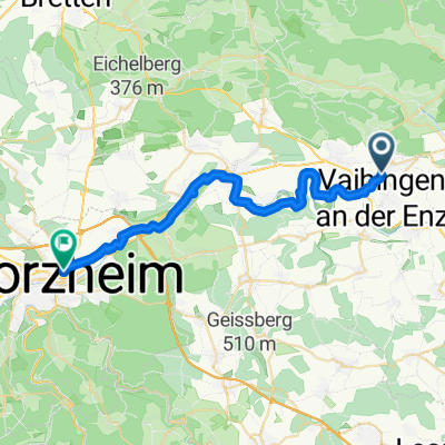
You would like to ride Rundtour Vaihingen/Enz-Pforzheim-Mühlacker or customize it for your own trip? Here is what you can do with this Bikemap route:
Free features
- Save this route as favorite or in collections
- Copy & plan your own version of this route
- Split it into stages to create a multi-day tour
- Sync your route with Garmin or Wahoo
Premium features
Free trial for 3 days, or one-time payment. More about Bikemap Premium.
- Navigate this route on iOS & Android
- Export a GPX / KML file of this route
- Create your custom printout (try it for free)
- Download this route for offline navigation
Discover more Premium features.
Get Bikemap PremiumFrom our community
Other popular routes starting in Vaihingen an der Enz
Löffelstelz 2- Distance
- 30.7 km
- Ascent
- 397 m
- Descent
- 397 m
- Location
- Vaihingen an der Enz, Baden-Wurttemberg, Germany
Horrheim See Kloster- Distance
- 11.2 km
- Ascent
- 274 m
- Descent
- 88 m
- Location
- Vaihingen an der Enz, Baden-Wurttemberg, Germany
Kreuzbachroute Sonnenberg Großglattbach- Distance
- 27.6 km
- Ascent
- 368 m
- Descent
- 366 m
- Location
- Vaihingen an der Enz, Baden-Wurttemberg, Germany
Vaihingen- Distance
- 8.6 km
- Ascent
- 80 m
- Descent
- 85 m
- Location
- Vaihingen an der Enz, Baden-Wurttemberg, Germany
Rundtour Enzweihingen - Stromberg- Distance
- 78.9 km
- Ascent
- 407 m
- Descent
- 404 m
- Location
- Vaihingen an der Enz, Baden-Wurttemberg, Germany
Rundtour Vaihingen/Enz-Pforzheim-Mühlacker- Distance
- 90.2 km
- Ascent
- 722 m
- Descent
- 722 m
- Location
- Vaihingen an der Enz, Baden-Wurttemberg, Germany
zur Kultur, Kunst & Landschaftsgenuß im Neckartal - mit großer Schleife -- Start & Ziel = Vaihingen-Enz Bahnhof- Distance
- 137.1 km
- Ascent
- 874 m
- Descent
- 873 m
- Location
- Vaihingen an der Enz, Baden-Wurttemberg, Germany
Trainingsrunde- Distance
- 33.6 km
- Ascent
- 237 m
- Descent
- 237 m
- Location
- Vaihingen an der Enz, Baden-Wurttemberg, Germany
Open it in the app

