

Neckartal-Radweg
Neckar - Etappe 1
A cycling route starting in Villingen-Schwenningen, Baden-Wurttemberg, Germany.
Overview
About this route
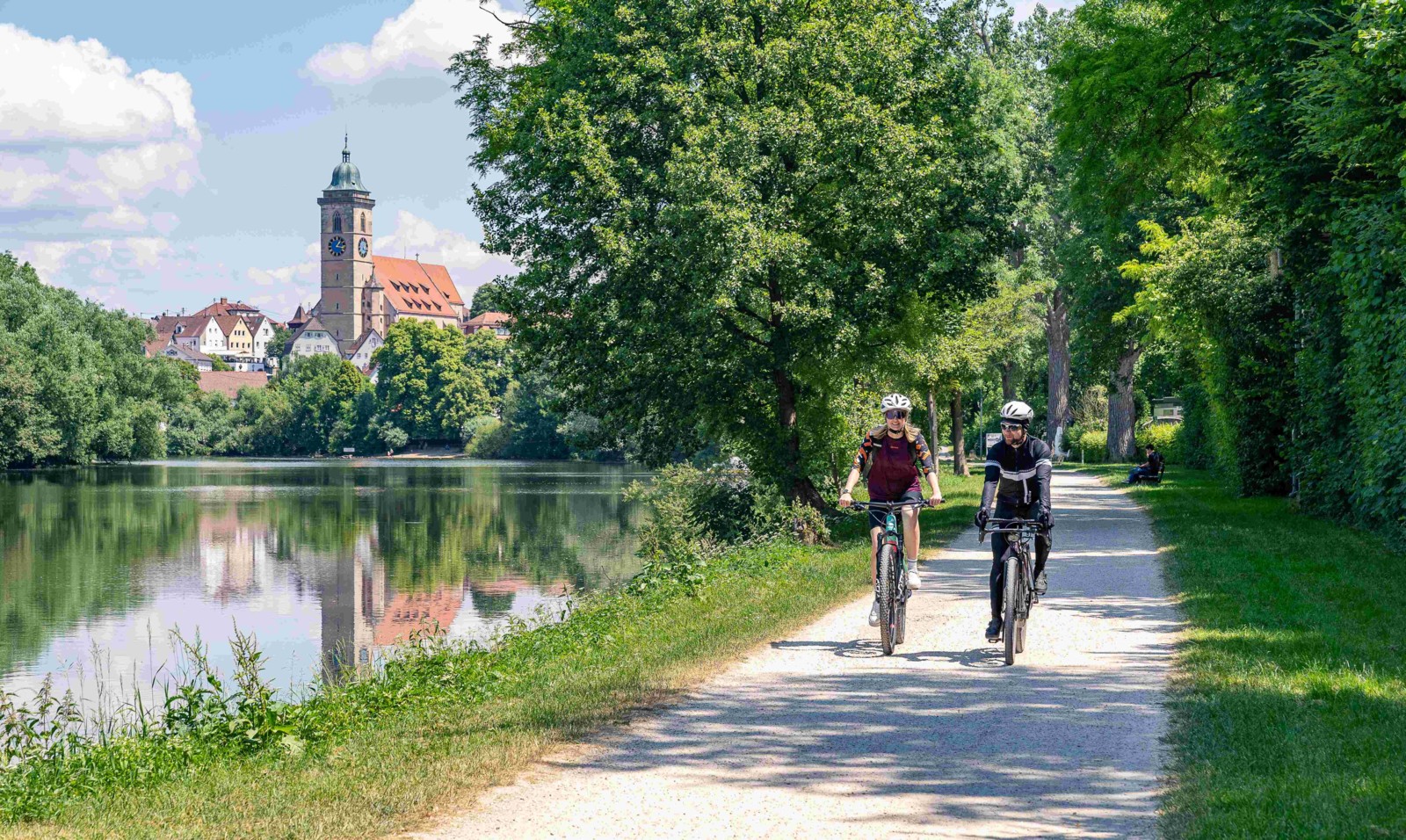
Hotel Goldener Adler, Horb am Neckar
- -:--
- Duration
- 75.4 km
- Distance
- 368 m
- Ascent
- 685 m
- Descent
- ---
- Avg. speed
- 761 m
- Max. altitude

Part of
Neckartal-Radweg
5 stages
Route quality
Waytypes & surfaces along the route
Waytypes
Track
25.2 km
(33 %)
Quiet road
23.4 km
(31 %)
Surfaces
Paved
61.1 km
(81 %)
Unpaved
8.9 km
(12 %)
Asphalt
55.3 km
(73 %)
Gravel
6 km
(8 %)
Continue with Bikemap
Use, edit, or download this cycling route
You would like to ride Neckar - Etappe 1 or customize it for your own trip? Here is what you can do with this Bikemap route:
Free features
- Save this route as favorite or in collections
- Copy & plan your own version of this route
- Sync your route with Garmin or Wahoo
Premium features
Free trial for 3 days, or one-time payment. More about Bikemap Premium.
- Navigate this route on iOS & Android
- Export a GPX / KML file of this route
- Create your custom printout (try it for free)
- Download this route for offline navigation
Discover more Premium features.
Get Bikemap PremiumFrom our community
Other popular routes starting in Villingen-Schwenningen
 Schöne Runde
- Distance
- 55.7 km
- Ascent
- 993 m
- Descent
- 992 m
- Location
- Villingen-Schwenningen, Baden-Wurttemberg, Germany
 7 Villingen Bhf Donaueschingen
- Distance
- 15.1 km
- Ascent
- 66 m
- Descent
- 93 m
- Location
- Villingen-Schwenningen, Baden-Wurttemberg, Germany
 Schwenninger-Rundkurs ohne Überland
- Distance
- 35.2 km
- Ascent
- 187 m
- Descent
- 187 m
- Location
- Villingen-Schwenningen, Baden-Wurttemberg, Germany
 Route in Villingen-Schwenningen Hbf.
- Distance
- 9.6 km
- Ascent
- 109 m
- Descent
- 128 m
- Location
- Villingen-Schwenningen, Baden-Wurttemberg, Germany
 Mittlere Trainingstour
- Distance
- 21.7 km
- Ascent
- 291 m
- Descent
- 256 m
- Location
- Villingen-Schwenningen, Baden-Wurttemberg, Germany
 Nette, entspannte Fahrradtour
- Distance
- 21.4 km
- Ascent
- 276 m
- Descent
- 276 m
- Location
- Villingen-Schwenningen, Baden-Wurttemberg, Germany
 über SulgenSchramberg WolfachHausach Route
- Distance
- 43.2 km
- Ascent
- 1,053 m
- Descent
- 1,528 m
- Location
- Villingen-Schwenningen, Baden-Wurttemberg, Germany
 Neckartalradweg
- Distance
- 361.3 km
- Ascent
- 114 m
- Descent
- 734 m
- Location
- Villingen-Schwenningen, Baden-Wurttemberg, Germany
Open it in the app