

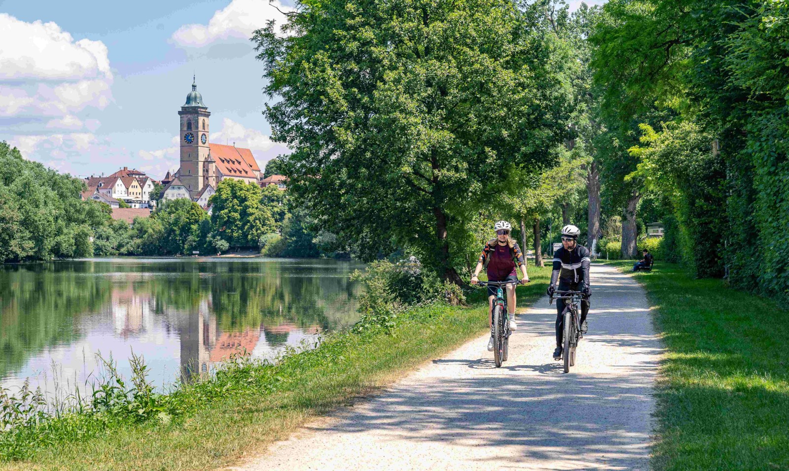
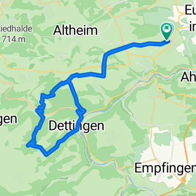
Neckartal-Radweg
Neckar - Etappe 2
A cycling route starting in Horb am Neckar, Baden-Wurttemberg, Germany.
Overview
About this route
Hotel Am Schillerpark, Esslingen
- -:--
- Duration
- 88.9 km
- Distance
- 243 m
- Ascent
- 396 m
- Descent
- ---
- Avg. speed
- 422 m
- Max. altitude

Part of
Neckartal-Radweg
5 stages
Route quality
Waytypes & surfaces along the route
Waytypes
Path
23.7 km
(27 %)
Track
20.1 km
(23 %)
Surfaces
Paved
77.3 km
(87 %)
Unpaved
9.7 km
(11 %)
Asphalt
73.9 km
(83 %)
Loose gravel
5.4 km
(6 %)
Continue with Bikemap
Use, edit, or download this cycling route
You would like to ride Neckar - Etappe 2 or customize it for your own trip? Here is what you can do with this Bikemap route:
Free features
- Save this route as favorite or in collections
- Copy & plan your own version of this route
- Split it into stages to create a multi-day tour
- Sync your route with Garmin or Wahoo
Premium features
Free trial for 3 days, or one-time payment. More about Bikemap Premium.
- Navigate this route on iOS & Android
- Export a GPX / KML file of this route
- Create your custom printout (try it for free)
- Download this route for offline navigation
Discover more Premium features.
Get Bikemap PremiumFrom our community
Other popular routes starting in Horb am Neckar
 IHLINGEN BODENSEE
- Distance
- 104.3 km
- Ascent
- 1,769 m
- Descent
- 1,630 m
- Location
- Horb am Neckar, Baden-Wurttemberg, Germany
 Bildechingen-Obernau-Starzach
- Distance
- 42.6 km
- Ascent
- 490 m
- Descent
- 560 m
- Location
- Horb am Neckar, Baden-Wurttemberg, Germany
 Dienstag 7 - Wo ist Malo
- Distance
- 30.4 km
- Ascent
- 572 m
- Descent
- 624 m
- Location
- Horb am Neckar, Baden-Wurttemberg, Germany
 Heubergstraße 7, Eutingen im Gäu nach Heubergstraße 5, Eutingen im Gäu
- Distance
- 20 km
- Ascent
- 89 m
- Descent
- 22 m
- Location
- Horb am Neckar, Baden-Wurttemberg, Germany
 Di4 - Im dunklen Wald
- Distance
- 32.8 km
- Ascent
- 610 m
- Descent
- 612 m
- Location
- Horb am Neckar, Baden-Wurttemberg, Germany
 Ho-Gö-Ba-Vo-Ho
- Distance
- 19.1 km
- Ascent
- 154 m
- Descent
- 154 m
- Location
- Horb am Neckar, Baden-Wurttemberg, Germany
 Rommelstal, Neckar, Eutinger Tal
- Distance
- 37.8 km
- Ascent
- 640 m
- Descent
- 664 m
- Location
- Horb am Neckar, Baden-Wurttemberg, Germany
 Aussichtsturm
- Distance
- 42.5 km
- Ascent
- 481 m
- Descent
- 494 m
- Location
- Horb am Neckar, Baden-Wurttemberg, Germany
Open it in the app