

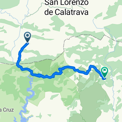
COLLADO PISA, por Garganta del Montoro
A cycling route starting in San Lorenzo de Calatrava, Castille-La Mancha, Spain.
Overview
About this route
- 1 h 40 min
- Duration
- 18.9 km
- Distance
- 806 m
- Ascent
- 264 m
- Descent
- 11.4 km/h
- Avg. speed
- 996 m
- Max. altitude

Route quality
Waytypes & surfaces along the route
Waytypes
Road
18.7 km
(99 %)
Quiet road
0.2 km
(1 %)
Continue with Bikemap
Use, edit, or download this cycling route
You would like to ride COLLADO PISA, por Garganta del Montoro or customize it for your own trip? Here is what you can do with this Bikemap route:
Free features
- Save this route as favorite or in collections
- Copy & plan your own version of this route
- Sync your route with Garmin or Wahoo
Premium features
Free trial for 3 days, or one-time payment. More about Bikemap Premium.
- Navigate this route on iOS & Android
- Export a GPX / KML file of this route
- Create your custom printout (try it for free)
- Download this route for offline navigation
Discover more Premium features.
Get Bikemap PremiumFrom our community
Other popular routes starting in San Lorenzo de Calatrava
 Del Hoyo al Centenillo
- Distance
- 23.3 km
- Ascent
- 729 m
- Descent
- 413 m
- Location
- San Lorenzo de Calatrava, Castille-La Mancha, Spain
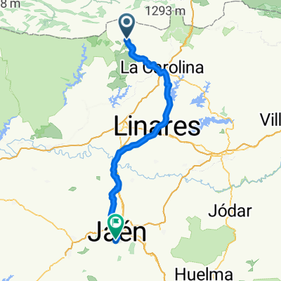 San Lorenzo de Calatrava - Jaén
- Distance
- 99.3 km
- Ascent
- 413 m
- Descent
- 650 m
- Location
- San Lorenzo de Calatrava, Castille-La Mancha, Spain
 El Hoyo - Pintillo - Centenillo
- Distance
- 34.6 km
- Ascent
- 736 m
- Descent
- 394 m
- Location
- San Lorenzo de Calatrava, Castille-La Mancha, Spain
 Valencia - Jaén - Ciudad Real. Etapa 12.
- Distance
- 64 km
- Ascent
- 331 m
- Descent
- 461 m
- Location
- San Lorenzo de Calatrava, Castille-La Mancha, Spain
 El Centenillo
- Distance
- 34.3 km
- Ascent
- 771 m
- Descent
- 443 m
- Location
- San Lorenzo de Calatrava, Castille-La Mancha, Spain
 El Hoyo - San Lorenzo - El Centenillo
- Distance
- 53.1 km
- Ascent
- 1,089 m
- Descent
- 750 m
- Location
- San Lorenzo de Calatrava, Castille-La Mancha, Spain
 81 San Lorenzo - Virgen la Cabeza
- Distance
- 71.6 km
- Ascent
- 970 m
- Descent
- 1,102 m
- Location
- San Lorenzo de Calatrava, Castille-La Mancha, Spain
 COLLADO PISA, por Garganta del Montoro
- Distance
- 18.9 km
- Ascent
- 806 m
- Descent
- 264 m
- Location
- San Lorenzo de Calatrava, Castille-La Mancha, Spain
Open it in the app