Ranelagh Road - Caerhays - Ranelagh Road via Burngullow st Ewe and Polmassick
A cycling route starting in St Austell, England, United Kingdom.
Overview
About this route
- 2 h 46 min
- Duration
- 44.5 km
- Distance
- 817 m
- Ascent
- 867 m
- Descent
- 16.1 km/h
- Avg. speed
- 144 m
- Max. altitude
Route photos
Route quality
Waytypes & surfaces along the route
Waytypes
Quiet road
29.3 km
(66 %)
Road
9.3 km
(21 %)
Surfaces
Paved
11.2 km
(25 %)
Unpaved
0.7 km
(1 %)
Asphalt
10.8 km
(24 %)
Rock
0.6 km
(1 %)
Continue with Bikemap
Use, edit, or download this cycling route
You would like to ride Ranelagh Road - Caerhays - Ranelagh Road via Burngullow st Ewe and Polmassick or customize it for your own trip? Here is what you can do with this Bikemap route:
Free features
- Save this route as favorite or in collections
- Copy & plan your own version of this route
- Sync your route with Garmin or Wahoo
Premium features
Free trial for 3 days, or one-time payment. More about Bikemap Premium.
- Navigate this route on iOS & Android
- Export a GPX / KML file of this route
- Create your custom printout (try it for free)
- Download this route for offline navigation
Discover more Premium features.
Get Bikemap PremiumFrom our community
Other popular routes starting in St Austell
- Ranelagh road to vicarage hill, Mevagissey
- Distance
- 17.6 km
- Ascent
- 437 m
- Descent
- 467 m
- Location
- St Austell, England, United Kingdom
- Ranelagh Road - Caerhays - Ranelagh Road via Burngullow st Ewe and Polmassick
- Distance
- 44.5 km
- Ascent
- 817 m
- Descent
- 867 m
- Location
- St Austell, England, United Kingdom
- Ranelagh Road to Ranelagh Road via polgooth kestle and trevarrick
- Distance
- 35.1 km
- Ascent
- 640 m
- Descent
- 691 m
- Location
- St Austell, England, United Kingdom
- bike tour from 16/06/16 21:12
- Distance
- 28.9 km
- Ascent
- 472 m
- Descent
- 430 m
- Location
- St Austell, England, United Kingdom
- LEJOG Day 2 - St. Austell - Exeter
- Distance
- 123 km
- Ascent
- 948 m
- Descent
- 1,030 m
- Location
- St Austell, England, United Kingdom
- clay loop
- Distance
- 25.3 km
- Ascent
- 488 m
- Descent
- 478 m
- Location
- St Austell, England, United Kingdom
- Ranelagh road to pentewan
- Distance
- 19.3 km
- Ascent
- 443 m
- Descent
- 505 m
- Location
- St Austell, England, United Kingdom
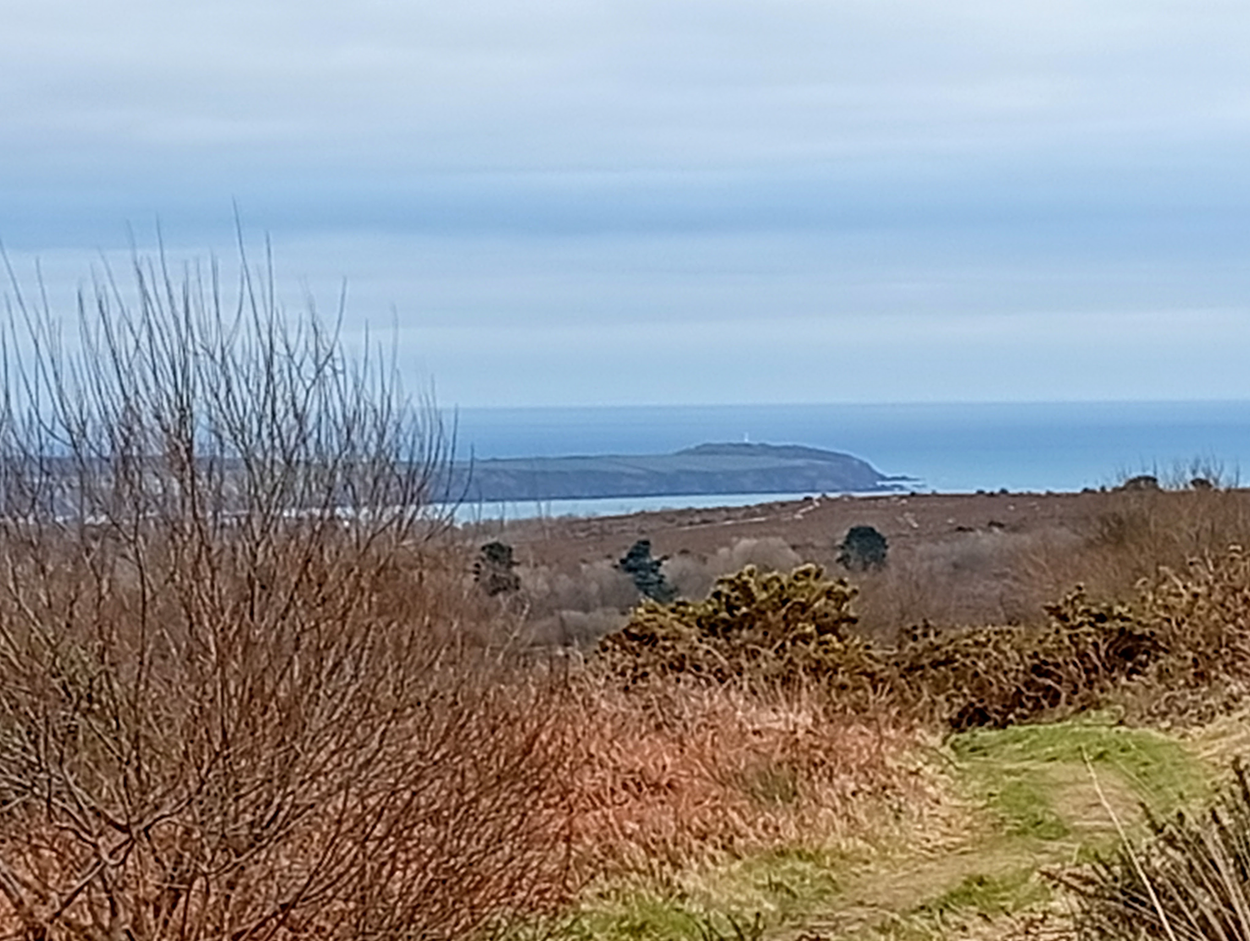
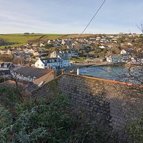
- Trewoon to Mevagissey
- Distance
- 13 km
- Ascent
- 170 m
- Descent
- 178 m
- Location
- St Austell, England, United Kingdom
Open it in the app