Urscha-Sommeralm-Stubenbergsee-Urscha
A cycling route starting in Gleisdorf, Styria, Austria.
Overview
About this route
2 Tages Tour mit den "Bicycles" Übernächtigung auf der Pirstinger-Hütte.
- -:--
- Duration
- 118.2 km
- Distance
- 1,382 m
- Ascent
- 1,381 m
- Descent
- ---
- Avg. speed
- ---
- Max. altitude
Route quality
Waytypes & surfaces along the route
Waytypes
Busy road
65.8 km
(56 %)
Road
21.7 km
(18 %)
Surfaces
Paved
84.9 km
(72 %)
Unpaved
1.3 km
(1 %)
Asphalt
83.8 km
(71 %)
Paved (undefined)
1.2 km
(1 %)
Route highlights
Points of interest along the route
Point of interest after 50.3 km
Pirstinger-Almhütte
Point of interest after 103.3 km
Einkehr bei den Lambauers (max.1 Bier)
Point of interest after 114.3 km
Abschluss Buschenschank Seyfried
Continue with Bikemap
Use, edit, or download this cycling route
You would like to ride Urscha-Sommeralm-Stubenbergsee-Urscha or customize it for your own trip? Here is what you can do with this Bikemap route:
Free features
- Save this route as favorite or in collections
- Copy & plan your own version of this route
- Split it into stages to create a multi-day tour
- Sync your route with Garmin or Wahoo
Premium features
Free trial for 3 days, or one-time payment. More about Bikemap Premium.
- Navigate this route on iOS & Android
- Export a GPX / KML file of this route
- Create your custom printout (try it for free)
- Download this route for offline navigation
Discover more Premium features.
Get Bikemap PremiumFrom our community
Other popular routes starting in Gleisdorf
- Sonnentour: Gleisdorf to Sankt Ruprecht an der Raab
- Distance
- 5.6 km
- Ascent
- 112 m
- Descent
- 126 m
- Location
- Gleisdorf, Styria, Austria
- Ludwig-Binder-Straße, Gleisdorf nach Goggitsch, Sankt Margarethen an der Raab
- Distance
- 15.1 km
- Ascent
- 353 m
- Descent
- 262 m
- Location
- Gleisdorf, Styria, Austria
- Urscha-Kumberg-Urscha
- Distance
- 42.5 km
- Ascent
- 338 m
- Descent
- 338 m
- Location
- Gleisdorf, Styria, Austria
- Gleisdorf Sommerberg Reithberg Feldbach Gleisdorf
- Distance
- 49.3 km
- Ascent
- 212 m
- Descent
- 212 m
- Location
- Gleisdorf, Styria, Austria
- stubenbergsee
- Distance
- 56.4 km
- Ascent
- 987 m
- Descent
- 987 m
- Location
- Gleisdorf, Styria, Austria
- Gleisdorf Sommerberg Auersbach Gniebing Gleisdorf
- Distance
- 51.8 km
- Ascent
- 280 m
- Descent
- 280 m
- Location
- Gleisdorf, Styria, Austria
- Käferbohnen-Tour
- Distance
- 67 km
- Ascent
- 1,151 m
- Descent
- 1,151 m
- Location
- Gleisdorf, Styria, Austria
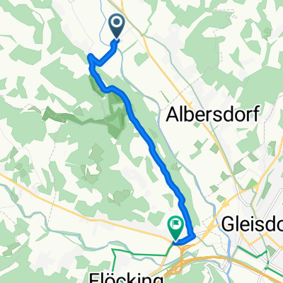
- Gleisdorf - Jennersdorf
- Distance
- 47.5 km
- Ascent
- 50 m
- Descent
- 127 m
- Location
- Gleisdorf, Styria, Austria
Open it in the app