Via Transilvanica, Section 2: Highlands (official)
A cycling route starting in Dorna Cândrenilor, Suceava, Romania.
Overview
About this route
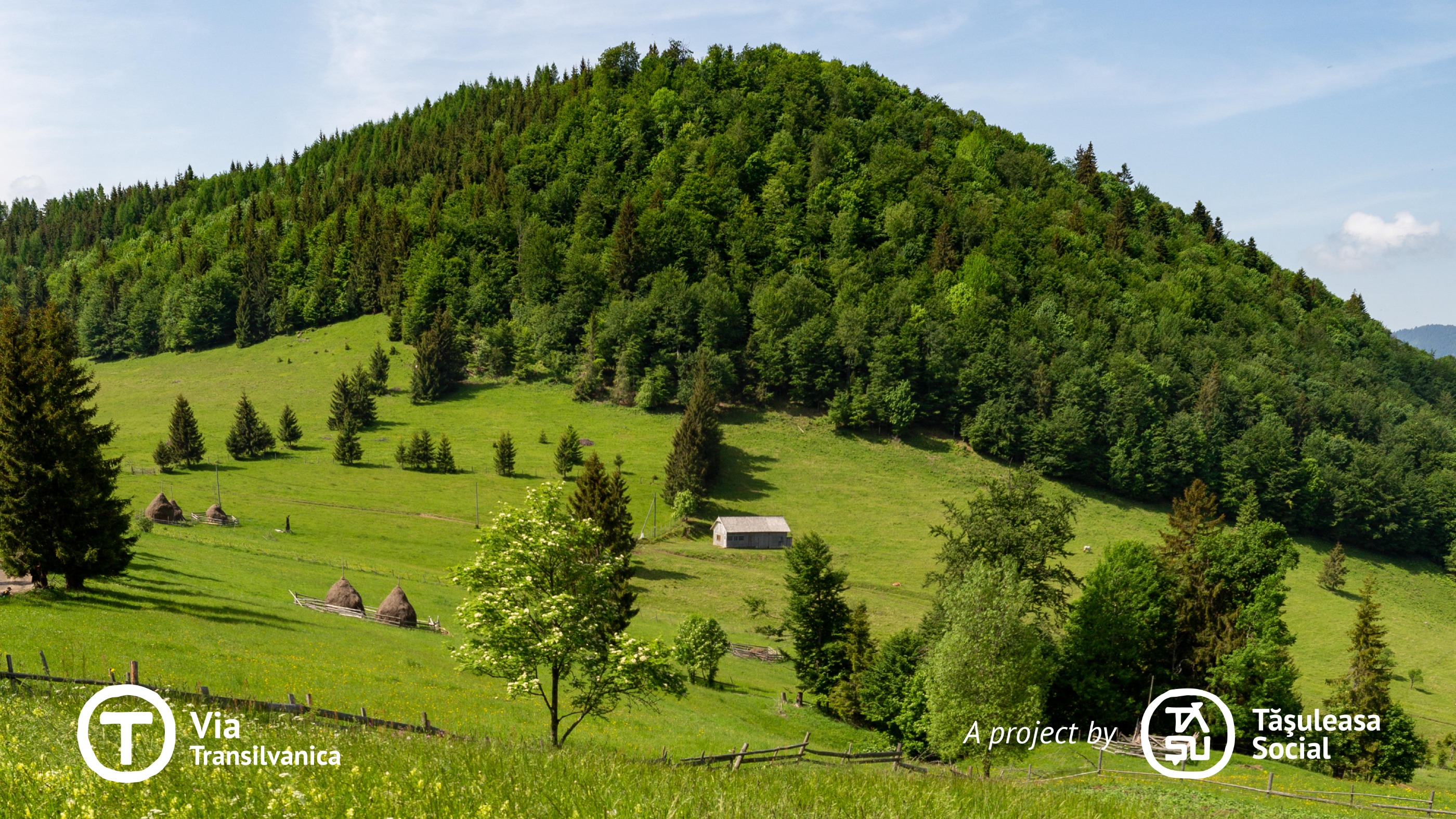
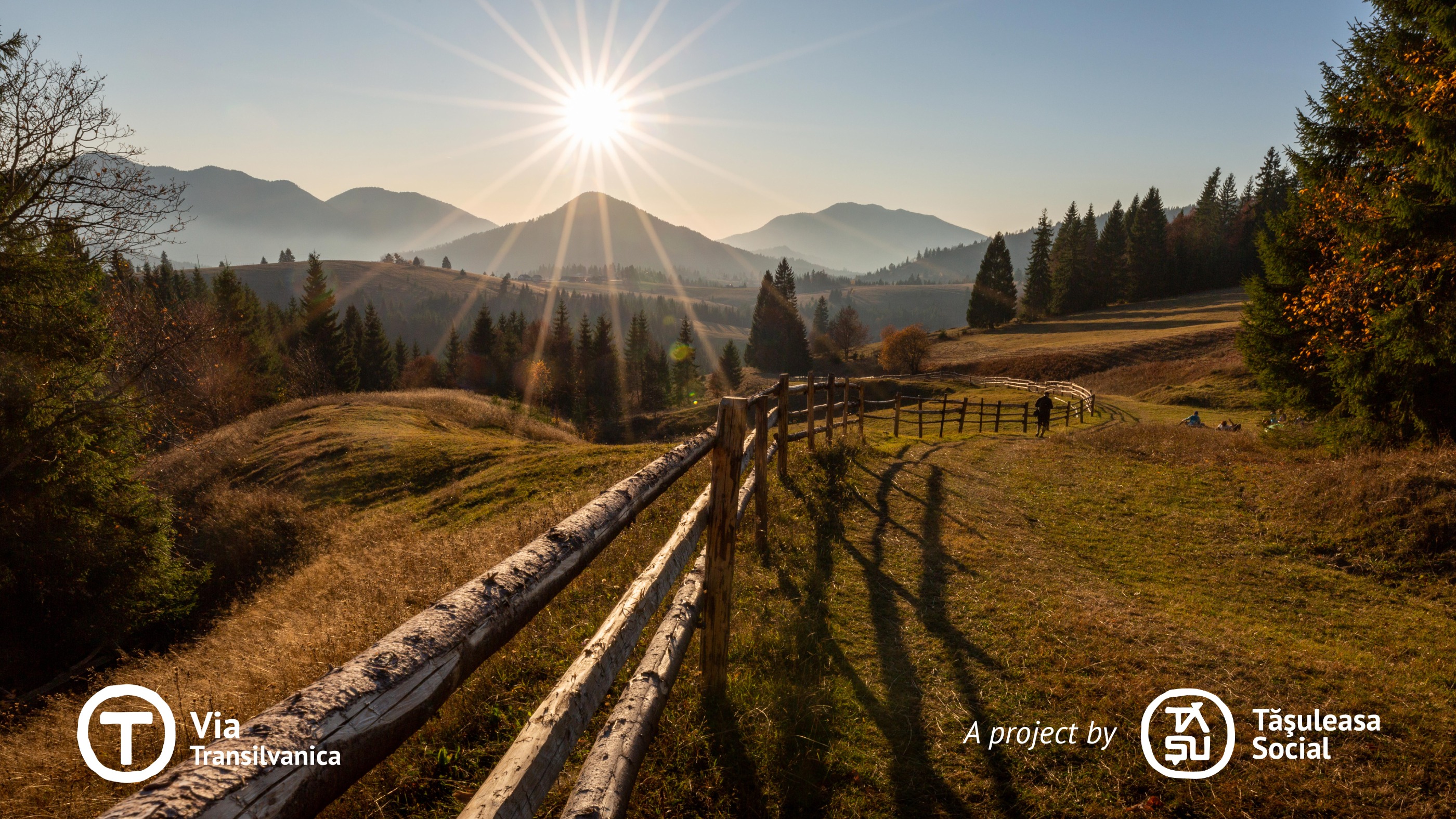
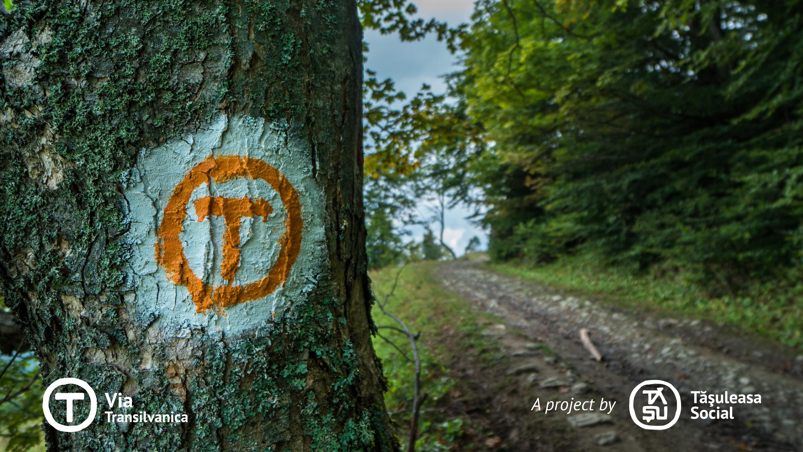
On this section of the trail, Via Transilvanica (VT) passes through mountains, revealing how the harshness of the landscape has taught people to adapt to both nature and time. As it traverses a diverse terrain - ranging from mountainous regions to lowland forests, rolling hills, and expansive fields - this stretch invites exploration for its natural beauty and remarkable sights. Additionally, the rich cultural heritage, shaped over centuries by a significant ethnic diversity, lends it a unique and special aura. More information: https://www.viatransilvanica.com/en/
- -:--
- Duration
- 232.3 km
- Distance
- 5,900 m
- Ascent
- 6,169 m
- Descent
- ---
- Avg. speed
- 1,192 m
- Max. altitude
Route photos
Continue with Bikemap
Use, edit, or download this cycling route
You would like to ride Via Transilvanica, Section 2: Highlands (official) or customize it for your own trip? Here is what you can do with this Bikemap route:
Free features
- Save this route as favorite or in collections
- Copy & plan your own version of this route
- Split it into stages to create a multi-day tour
- Sync your route with Garmin or Wahoo
Premium features
Free trial for 3 days, or one-time payment. More about Bikemap Premium.
- Navigate this route on iOS & Android
- Export a GPX / KML file of this route
- Create your custom printout (try it for free)
- Download this route for offline navigation
Discover more Premium features.
Get Bikemap PremiumFrom our community
Other popular routes starting in Dorna Cândrenilor
 Tura Rarau
- Distance
- 111.2 km
- Ascent
- 1,313 m
- Descent
- 1,327 m
- Location
- Dorna Cândrenilor, Suceava, Romania
 Via Transilvanica, Section 2: Highlands (official)
- Distance
- 232.3 km
- Ascent
- 5,900 m
- Descent
- 6,169 m
- Location
- Dorna Cândrenilor, Suceava, Romania
 Tataru - Batca Rosie
- Distance
- 59.1 km
- Ascent
- 426 m
- Descent
- 453 m
- Location
- Dorna Cândrenilor, Suceava, Romania
 Candreni 2
- Distance
- 14.6 km
- Ascent
- 196 m
- Descent
- 195 m
- Location
- Dorna Cândrenilor, Suceava, Romania
 Calimani
- Distance
- 56.2 km
- Ascent
- 1,265 m
- Descent
- 1,264 m
- Location
- Dorna Cândrenilor, Suceava, Romania
 VT - Ziua 4 - Poiana Negrii - Lunca Ilvei - Tasuleasa Social
- Distance
- 45 km
- Ascent
- 1,257 m
- Descent
- 1,123 m
- Location
- Dorna Cândrenilor, Suceava, Romania
 Poiana Negrii - Colibita
- Distance
- 51.1 km
- Ascent
- 805 m
- Descent
- 918 m
- Location
- Dorna Cândrenilor, Suceava, Romania
 Via Transilvanica - Ținutul de Sus
- Distance
- 226.9 km
- Ascent
- ---
- Descent
- ---
- Location
- Dorna Cândrenilor, Suceava, Romania
Open it in the app


