Via Transilvanica, Section 6: Terra Banatica (official)
A cycling route starting in Bucova, Caraș-Severin County, Romania.
Overview
About this route
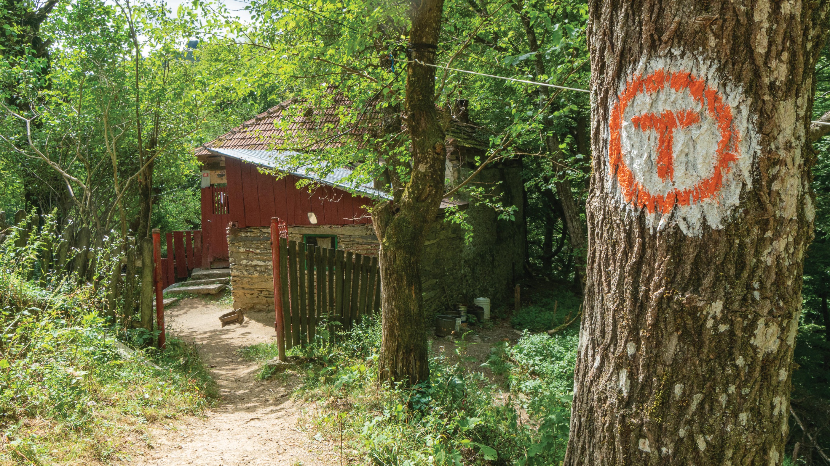
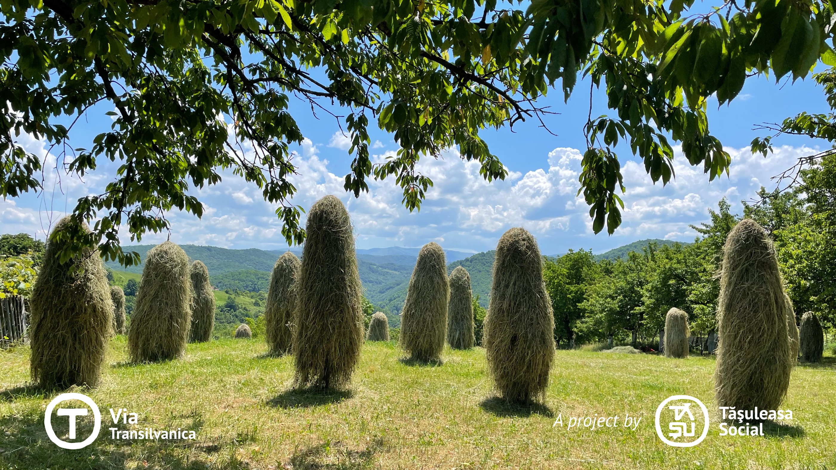
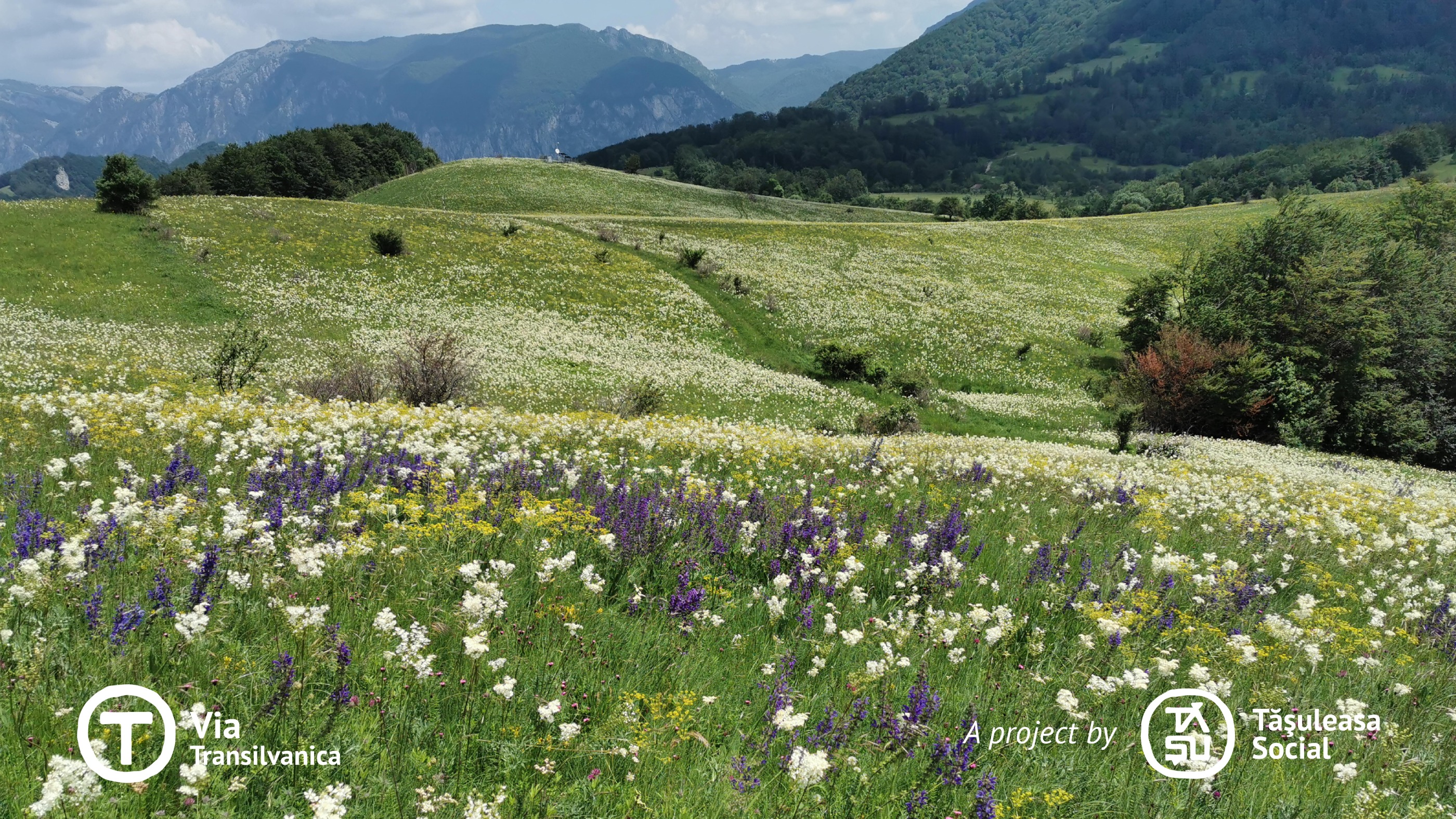
Caraș-Severin is the county home to 15 ethnic minorities (Romanians, Hungarians, Germans, Croats, Serbs, Roma, Czechs, Slovaks, Ukrainians, Lipovan Russians, Turks, Bulgarians, Jews, Poles, and Italians). It serves as a remarkable example of peaceful coexistence and the preservation of each community’s language and traditions, showcased at every local celebration. Terra Banatica, an immense hydrological basin where waters from all mountain peaks converge, is the land of rushing rivers, thermal waters, vibrant green moss, watermills, enchanted meadows filled with colorful flowers, sharp grey cliffs, mysterious caves, ancient beech forests, and ghost villages - a magical realm. Here, nature reigns supreme, with small villages and only a few large towns along the way. Yet, the warmth of the people, their răchia (traditional brandy), the serenity of the land, and the unmistakable ‘Banat dialect’ make the journey special. Civilization is sparse, the phone signal is weak, but the opportunity to reflect in peace is abundant. The long, expansive trails invite countless inner and outer discoveries. Terra Banatica is a land where many stories were born, waiting to be whispered by the wind as it rustles through the sea of wildflowers, the lemon-scented thyme, and the centuries-old beech trees. More information: https://www.viatransilvanica.com/en/
- -:--
- Duration
- 237.1 km
- Distance
- 6,332 m
- Ascent
- 6,696 m
- Descent
- ---
- Avg. speed
- 1,201 m
- Max. altitude
Route photos
Route quality
Waytypes & surfaces along the route
Waytypes
Track
135.2 km
(57 %)
Quiet road
66.4 km
(28 %)
Surfaces
Paved
33.2 km
(14 %)
Unpaved
109.1 km
(46 %)
Unpaved (undefined)
56.9 km
(24 %)
Gravel
30.8 km
(13 %)
Continue with Bikemap
Use, edit, or download this cycling route
You would like to ride Via Transilvanica, Section 6: Terra Banatica (official) or customize it for your own trip? Here is what you can do with this Bikemap route:
Free features
- Save this route as favorite or in collections
- Copy & plan your own version of this route
- Split it into stages to create a multi-day tour
- Sync your route with Garmin or Wahoo
Premium features
Free trial for 3 days, or one-time payment. More about Bikemap Premium.
- Navigate this route on iOS & Android
- Export a GPX / KML file of this route
- Create your custom printout (try it for free)
- Download this route for offline navigation
Discover more Premium features.
Get Bikemap PremiumFrom our community
Other popular routes starting in Bucova
 Via Transilvanica, Section 6: Terra Banatica (official)
- Distance
- 237.1 km
- Ascent
- 6,332 m
- Descent
- 6,696 m
- Location
- Bucova, Caraș-Severin County, Romania
 Bucova-Preveciori
- Distance
- 39.3 km
- Ascent
- 902 m
- Descent
- 902 m
- Location
- Bucova, Caraș-Severin County, Romania
 Via Transilvanica via Poiana Marului
- Distance
- 324.6 km
- Ascent
- 3,452 m
- Descent
- 3,818 m
- Location
- Bucova, Caraș-Severin County, Romania
 Bucova , Preveciori 2
- Distance
- 20.6 km
- Ascent
- 656 m
- Descent
- 846 m
- Location
- Bucova, Caraș-Severin County, Romania
 Bucova , Preveciori
- Distance
- 29.8 km
- Ascent
- 751 m
- Descent
- 952 m
- Location
- Bucova, Caraș-Severin County, Romania
 tarcu pe sus
- Distance
- 52.8 km
- Ascent
- 1,955 m
- Descent
- 1,955 m
- Location
- Bucova, Caraș-Severin County, Romania
 Via Transilvanica - Terra Banatica
- Distance
- 230.1 km
- Ascent
- ---
- Descent
- ---
- Location
- Bucova, Caraș-Severin County, Romania
 Via Transilvanica_viaIaz_Obreja
- Distance
- 314.1 km
- Ascent
- 2,617 m
- Descent
- 2,983 m
- Location
- Bucova, Caraș-Severin County, Romania
Open it in the app


