

Route to M8, Machinga, Southern Region
A cycling route starting in Harare, Harare, Zimbabwe.
Overview
About this route
- 357 h 4 min
- Duration
- 5,931.1 km
- Distance
- 15,544 m
- Ascent
- 15,837 m
- Descent
- 16.6 km/h
- Avg. speed
- 2,138 m
- Max. altitude

Continue with Bikemap
Use, edit, or download this cycling route
You would like to ride Route to M8, Machinga, Southern Region or customize it for your own trip? Here is what you can do with this Bikemap route:
Free features
- Save this route as favorite or in collections
- Copy & plan your own version of this route
- Split it into stages to create a multi-day tour
- Sync your route with Garmin or Wahoo
Premium features
Free trial for 3 days, or one-time payment. More about Bikemap Premium.
- Navigate this route on iOS & Android
- Export a GPX / KML file of this route
- Create your custom printout (try it for free)
- Download this route for offline navigation
Discover more Premium features.
Get Bikemap PremiumFrom our community
Other popular routes starting in Harare
 Woodgate 31, Harare to Woodgate 31, Harare
- Distance
- 11.1 km
- Ascent
- 138 m
- Descent
- 164 m
- Location
- Harare, Harare, Zimbabwe
 Harare to Jason Moyo Avenue 1, Harare
- Distance
- 9.1 km
- Ascent
- 107 m
- Descent
- 47 m
- Location
- Harare, Harare, Zimbabwe
 Fairways
- Distance
- 5.3 km
- Ascent
- 41 m
- Descent
- 43 m
- Location
- Harare, Harare, Zimbabwe
 Harare - Mbeya
- Distance
- 1,715 km
- Ascent
- 4,356 m
- Descent
- 4,080 m
- Location
- Harare, Harare, Zimbabwe
 Local 1
- Distance
- 14.3 km
- Ascent
- 25 m
- Descent
- 25 m
- Location
- Harare, Harare, Zimbabwe
 Woodgate 31, Harare to Woodgate 31, Harare
- Distance
- 5.8 km
- Ascent
- 125 m
- Descent
- 40 m
- Location
- Harare, Harare, Zimbabwe
 Sixth Avenue, Harare to Highfield, Harare
- Distance
- 8.2 km
- Ascent
- 37 m
- Descent
- 52 m
- Location
- Harare, Harare, Zimbabwe
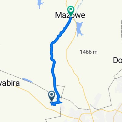 Home to Mazowe
- Distance
- 30.1 km
- Ascent
- 59 m
- Descent
- 291 m
- Location
- Harare, Harare, Zimbabwe
Open it in the app