

Conroe to Houston-West University Place
A cycling route starting in Conroe, Texas, United States.
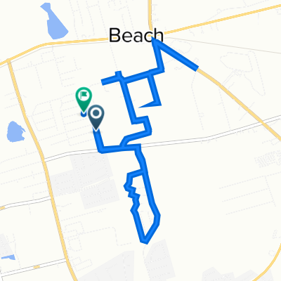
Overview
About this route
Getting onto the road, this was definitely a ride to get from point A to point B. There was only a relatively little road shoulder as well as some bicycle path both within the Woodlands and after getting into Houston along the White Oak Bayou Greenway. The bulk of the riding was on four lane roads with no shoulder. As the traffic was mostly light, it wasn’t a problem. After getting into the heart of Houston, we were pretty much solely on neighborhood roads with bicycle markings on the road and very light or no traffic.
Very flat ride.
- 6 h 9 min
- Duration
- 83.3 km
- Distance
- 139 m
- Ascent
- 174 m
- Descent
- 13.5 km/h
- Avg. speed
- 54 m
- Max. altitude

Route photos


Route quality
Waytypes & surfaces along the route
Waytypes
Quiet road
12.5 km
(15 %)
Cycleway
10.8 km
(13 %)
Surfaces
Paved
33.3 km
(40 %)
Concrete
15.8 km
(19 %)
Asphalt
10.8 km
(13 %)
Continue with Bikemap
Use, edit, or download this cycling route
You would like to ride Conroe to Houston-West University Place or customize it for your own trip? Here is what you can do with this Bikemap route:
Free features
- Save this route as favorite or in collections
- Copy & plan your own version of this route
- Split it into stages to create a multi-day tour
- Sync your route with Garmin or Wahoo
Premium features
Free trial for 3 days, or one-time payment. More about Bikemap Premium.
- Navigate this route on iOS & Android
- Export a GPX / KML file of this route
- Create your custom printout (try it for free)
- Download this route for offline navigation
Discover more Premium features.
Get Bikemap PremiumFrom our community
Other popular routes starting in Conroe
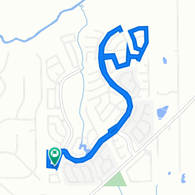
 Carl Barton
- Distance
- 1.7 km
- Ascent
- 86 m
- Descent
- 88 m
- Location
- Conroe, Texas, United States
 10204 Praire Creek Ln, Conroe to 10204 Praire Creek Ln, Conroe
- Distance
- 8.1 km
- Ascent
- 53 m
- Descent
- 45 m
- Location
- Conroe, Texas, United States
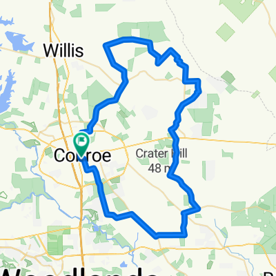 Shop 48.5
- Distance
- 78 km
- Ascent
- 385 m
- Descent
- 385 m
- Location
- Conroe, Texas, United States
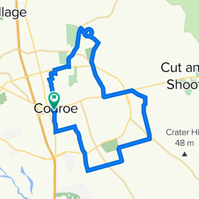
 good calf workout
- Distance
- 11.6 km
- Ascent
- 136 m
- Descent
- 137 m
- Location
- Conroe, Texas, United States
 Jay's Alley, Conroe to Jay's Alley, Conroe
- Distance
- 37.1 km
- Ascent
- 0 m
- Descent
- 40 m
- Location
- Conroe, Texas, United States
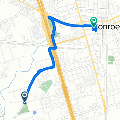 825 Old Magnolia Rd, Conroe to 301 N Thompson St, Conroe
- Distance
- 4.2 km
- Ascent
- 32 m
- Descent
- 35 m
- Location
- Conroe, Texas, United States
 Toby Lane 1009, Conroe to Lindy Lane 1722, Conroe
- Distance
- 11.3 km
- Ascent
- 3 m
- Descent
- 12 m
- Location
- Conroe, Texas, United States
 13420 Bear Creek Ct, Conroe to 10204 Praire Creek Ln, Conroe
- Distance
- 2.9 km
- Ascent
- 20 m
- Descent
- 3 m
- Location
- Conroe, Texas, United States
Open it in the app