

Houston-West University Place to Conroe
A cycling route starting in Southside Place, Texas, United States.
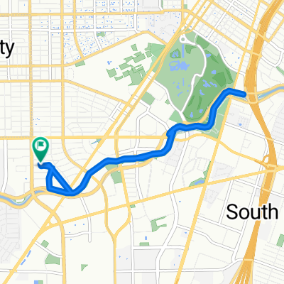
Overview
About this route
Getting onto the road, this was definitely a ride to get from point A to point B; it's not a ride for pleasure. There was virtually no road shoulder or bike lanes along the arterial roads. There was some excellent bicycle path both within the Woodlands and after getting into Houston along the White Oak Bayou Greenway. The bulk of the riding was on four lane roads with no shoulder. As the traffic was mostly light, it wasn’t a problem. When riding in the heart of Houston, we were pretty much solely on neighborhood roads with bicycle markings on the road and very light or no traffic.
Very flat ride.
- 6 h 43 min
- Duration
- 83.5 km
- Distance
- 203 m
- Ascent
- 174 m
- Descent
- 12.4 km/h
- Avg. speed
- 55 m
- Max. altitude

Route photos


Route quality
Waytypes & surfaces along the route
Waytypes
Cycleway
13.4 km
(16 %)
Quiet road
11.7 km
(14 %)
Surfaces
Paved
33.4 km
(40 %)
Concrete
16.7 km
(20 %)
Asphalt
10.9 km
(13 %)
Continue with Bikemap
Use, edit, or download this cycling route
You would like to ride Houston-West University Place to Conroe or customize it for your own trip? Here is what you can do with this Bikemap route:
Free features
- Save this route as favorite or in collections
- Copy & plan your own version of this route
- Split it into stages to create a multi-day tour
- Sync your route with Garmin or Wahoo
Premium features
Free trial for 3 days, or one-time payment. More about Bikemap Premium.
- Navigate this route on iOS & Android
- Export a GPX / KML file of this route
- Create your custom printout (try it for free)
- Download this route for offline navigation
Discover more Premium features.
Get Bikemap PremiumFrom our community
Other popular routes starting in Southside Place
 3.64 Mile ride down Braes Bayou inside 610
- Distance
- 5.9 km
- Ascent
- 41 m
- Descent
- 43 m
- Location
- Southside Place, Texas, United States
- Houston-West University Place to Conroe
- Distance
- 83.5 km
- Ascent
- 203 m
- Descent
- 174 m
- Location
- Southside Place, Texas, United States
 Home to Hermann Park
- Distance
- 8.7 km
- Ascent
- 91 m
- Descent
- 80 m
- Location
- Southside Place, Texas, United States
 2640 Cason St, West University Place to 1475 W Gray St, Houston
- Distance
- 6.8 km
- Ascent
- 3 m
- Descent
- 0 m
- Location
- Southside Place, Texas, United States
 9817 Madeline Alyssa Ct, Houston to 9814 Cynthia Ann Ct, Houston
- Distance
- 12.8 km
- Ascent
- 6 m
- Descent
- 18 m
- Location
- Southside Place, Texas, United States
 braeswood Loop
- Distance
- 19.8 km
- Ascent
- 42 m
- Descent
- 41 m
- Location
- Southside Place, Texas, United States
 braes bayou
- Distance
- 10 km
- Ascent
- 121 m
- Descent
- 123 m
- Location
- Southside Place, Texas, United States
 Houston First Loop
- Distance
- 27 km
- Ascent
- 93 m
- Descent
- 98 m
- Location
- Southside Place, Texas, United States
Open it in the app