


Route d'Arlay 50 nach Grande Rue 585, Arlay
- 76.3 km
- 1,055 m
- 1,048 m
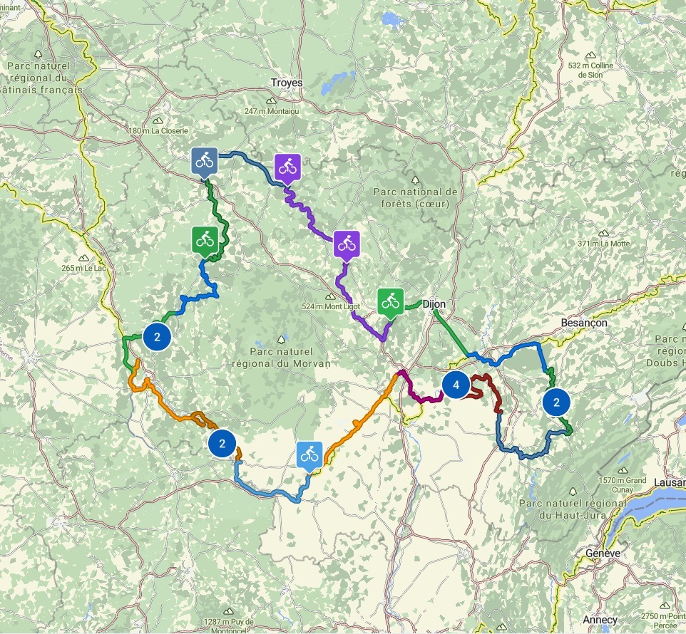
- Bletterans, Bourgogne-Franche-Comté, France
FR2
A cycling route starting in Bletterans, Bourgogne-Franche-Comté, France.
Overview
created this 9 months ago
Part of
16 stages
Route quality
Road
37.2 km
(59 %)
Quiet road
15.8 km
(25 %)
Paved
39.7 km
(63 %)
Unpaved
2.5 km
(4 %)
Asphalt
39.7 km
(63 %)
Gravel
2.5 km
(4 %)
Undefined
20.8 km
(33 %)
Route highlights
Boulanger Patisserie Mercier - ist dies das Hauptgeschäft, oder das beim Supermarkt?
Boulanger Patisserie Mercier
Coccimarket
Rastbank
Bänke
Bänke
Toilette
Bank
Rastplatz
Rastplatz
Bank
Bank
Voie de la Bresse Jurassienne
Bank
Bank
Lokdenkmal in Chaussin
Supermarkt Colruyt
Bäckerei
Toilette
Le Doubs
Badestrand
Badestrand
Église Saint-Martin
Cafe de la Gare
Église Saint-Loup
Église Saint-Albin
Fast&Furious
Église Saint-Pierre-ès-Liens
Hotel Restaurant Doubs Rivage
Continue with Bikemap
You would like to ride FR2-14d_Chaumergy_Charette-Varennes_63,0km 160hm or customize it for your own trip? Here is what you can do with this Bikemap route:
Free trial for 3 days, or one-time payment. More about Bikemap Premium.
Discover more Premium features.
Get Bikemap PremiumFrom our community
Open it in the app


