Crockett to Palestine
A cycling route starting in Crockett, Texas, United States.
Overview
About this route
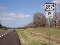
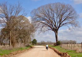
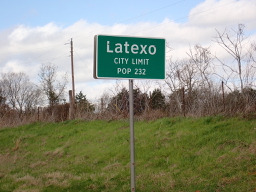
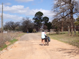
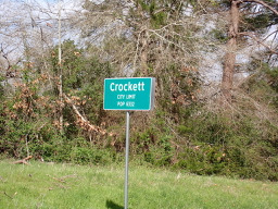
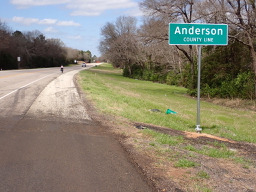
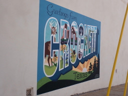
After passing the northern part of the highway ring around Crockett, we were soon on a local road that had a temporary sign saying “Rough Road”. They weren’t kidding since after a short time we lost the pavement and had an unpaved road for a while. Getting into Latexo, we crossed over U.S. 287/Texas 19 onto a local road…that really turned out to be local. It was unpaved often with a sandy base that we had to push the bikes through. This went on for a number of miles until we got close to Grapeland when paving reappeared. Being gun-shy, we decided against the originally planned local roads which would have taken us to Elkhart and Palestine and took U.S. 287/Texas 19 instead. Noisy, but mostly good road shoulder to ride on.
Because of the sandy road conditions, this route was not good for a road bike. You should use US 287/Texas 19 instead of the small local roads.
- 5 h 20 min
- Duration
- 63.1 km
- Distance
- 512 m
- Ascent
- 456 m
- Descent
- 11.8 km/h
- Avg. speed
- 177 m
- Max. altitude
Route photos
Continue with Bikemap
Use, edit, or download this cycling route
You would like to ride Crockett to Palestine or customize it for your own trip? Here is what you can do with this Bikemap route:
Free features
- Save this route as favorite or in collections
- Copy & plan your own version of this route
- Sync your route with Garmin or Wahoo
Premium features
Free trial for 3 days, or one-time payment. More about Bikemap Premium.
- Navigate this route on iOS & Android
- Export a GPX / KML file of this route
- Create your custom printout (try it for free)
- Download this route for offline navigation
Discover more Premium features.
Get Bikemap PremiumFrom our community
Other popular routes starting in Crockett
 Crockett to Palestine
- Distance
- 63.1 km
- Ascent
- 512 m
- Descent
- 456 m
- Location
- Crockett, Texas, United States
 Crockett, TX - Buffalo, TX
- Distance
- 80.3 km
- Ascent
- 293 m
- Descent
- 281 m
- Location
- Crockett, Texas, United States
Open it in the app


