De Route de la Fischhutte 30, Mollkirch à Rue des Bateliers 24, Erstein
- 114.2 km
- 985 m
- 1,221 m
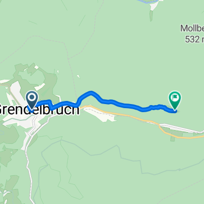
- Grendelbruch, Grand Est, France
A cycling route starting in Grendelbruch, Grand Est, France.
Overview
Champ du Feu - Haut-Koenigsbourg Castle - Col de Freland. We set out a bit late, with the heat that will increase throughout the day until we reach Colmar. ⛰️ Champ du Feu (1,099 m) • ⛰️ Col de la Charbonnière (961 m) • ⛰️ Col du Schaentzel (584 m) • ⛰️ Col de Fréland (831 m)
created this 9 months ago
Route quality
Road
36.9 km
(34 %)
Quiet road
14.1 km
(13 %)
Paved
64 km
(59 %)
Unpaved
4.3 km
(4 %)
Asphalt
61.8 km
(57 %)
Paved (undefined)
2.2 km
(2 %)
Continue with Bikemap
You would like to ride Champ du Feu-Castillo de Haut-Koenigsbourg-Col de Freland or customize it for your own trip? Here is what you can do with this Bikemap route:
Free trial for 3 days, or one-time payment. More about Bikemap Premium.
Discover more Premium features.
Get Bikemap PremiumFrom our community
Open it in the app