
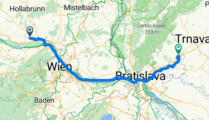
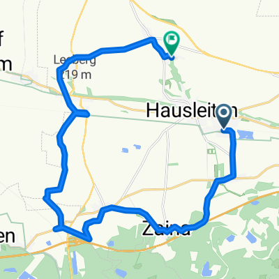
Hausleiten to Igram
A cycling route starting in Hausleiten, Lower Austria, Austria.
Overview
About this route
- 8 h 28 min
- Duration
- 146.2 km
- Distance
- 466 m
- Ascent
- 502 m
- Descent
- 17.3 km/h
- Avg. speed
- 187 m
- Max. altitude
Route quality
Waytypes & surfaces along the route
Waytypes
Cycleway
62.3 km
(43 %)
Quiet road
29 km
(20 %)
Surfaces
Paved
119.3 km
(82 %)
Unpaved
15.7 km
(11 %)
Asphalt
110.3 km
(75 %)
Concrete
7.8 km
(5 %)
Continue with Bikemap
Use, edit, or download this cycling route
You would like to ride Hausleiten to Igram or customize it for your own trip? Here is what you can do with this Bikemap route:
Free features
- Save this route as favorite or in collections
- Copy & plan your own version of this route
- Split it into stages to create a multi-day tour
- Sync your route with Garmin or Wahoo
Premium features
Free trial for 3 days, or one-time payment. More about Bikemap Premium.
- Navigate this route on iOS & Android
- Export a GPX / KML file of this route
- Create your custom printout (try it for free)
- Download this route for offline navigation
Discover more Premium features.
Get Bikemap PremiumFrom our community
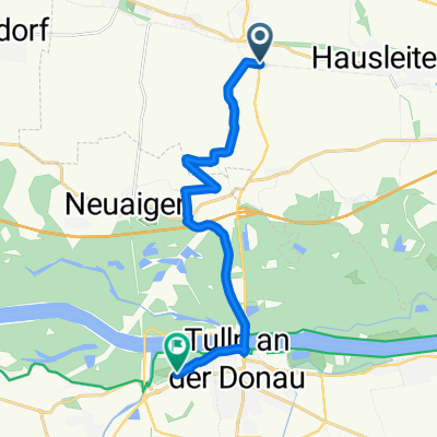
Other popular routes starting in Hausleiten
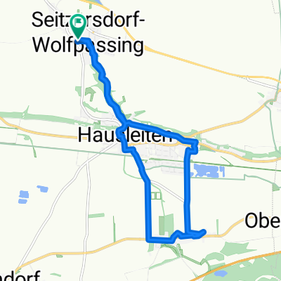 Am Felde 9, Seitzersdorf-Wolfpassing nach Am Felde 9, Seitzersdorf-Wolfpassing
- Distance
- 11.3 km
- Ascent
- 124 m
- Descent
- 123 m
- Location
- Hausleiten, Lower Austria, Austria
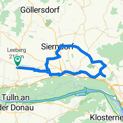 Gaisruck Unterrohrbach
- Distance
- 48.3 km
- Ascent
- 124 m
- Descent
- 124 m
- Location
- Hausleiten, Lower Austria, Austria
 O.-Scharmitzer-Straße 18, Goldgeben nach Seitzersdorf-Wolfpassing
- Distance
- 18.6 km
- Ascent
- 138 m
- Descent
- 100 m
- Location
- Hausleiten, Lower Austria, Austria
 Muckendorf über Kirchstetten nach Furth bei Göttweig und zurück donauroute
- Distance
- 134.6 km
- Ascent
- 1,017 m
- Descent
- 930 m
- Location
- Hausleiten, Lower Austria, Austria
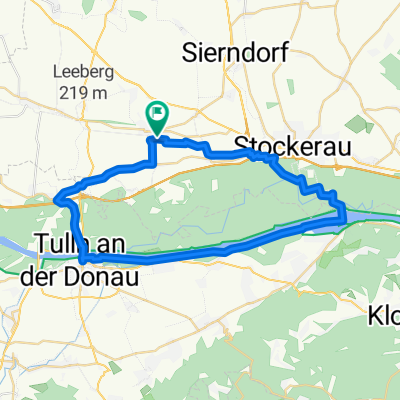 Greifenstein Runde
- Distance
- 39.8 km
- Ascent
- 44 m
- Descent
- 45 m
- Location
- Hausleiten, Lower Austria, Austria
 Dorfstraße 42, Goldgeben nach Rudolf-Buchinger-Straße 28, Tulln an der Donau
- Distance
- 17.3 km
- Ascent
- 173 m
- Descent
- 129 m
- Location
- Hausleiten, Lower Austria, Austria
 Hausleiten - Langenrohr
- Distance
- 17.1 km
- Ascent
- 42 m
- Descent
- 40 m
- Location
- Hausleiten, Lower Austria, Austria
 Verbindung Bahn Gaisruck - Die Garten Tulln
- Distance
- 12 km
- Ascent
- 37 m
- Descent
- 33 m
- Location
- Hausleiten, Lower Austria, Austria
Open it in the app