

Rund um Waldau
A cycling route starting in Eisenbach, Baden-Wurttemberg, Germany.
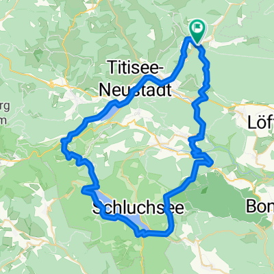
Overview
About this route
<ul>
<li>Unterschwärzenbach</li>
<li>Die Rau</li>
<li>Schweizerhof</li>
<li>Lachenhäusle</li>
<li>Hochberg</li>
<li>Unterschwärzenbach</li>
</ul>
Translated, show original (German)- -:--
- Duration
- 22.7 km
- Distance
- 547 m
- Ascent
- 547 m
- Descent
- ---
- Avg. speed
- ---
- Max. altitude
Route quality
Waytypes & surfaces along the route
Waytypes
Track
13.6 km
(60 %)
Quiet road
2.5 km
(11 %)
Surfaces
Paved
4.8 km
(21 %)
Unpaved
11.6 km
(51 %)
Gravel
8.6 km
(38 %)
Asphalt
4.8 km
(21 %)
Continue with Bikemap
Use, edit, or download this cycling route
You would like to ride Rund um Waldau or customize it for your own trip? Here is what you can do with this Bikemap route:
Free features
- Save this route as favorite or in collections
- Copy & plan your own version of this route
- Sync your route with Garmin or Wahoo
Premium features
Free trial for 3 days, or one-time payment. More about Bikemap Premium.
- Navigate this route on iOS & Android
- Export a GPX / KML file of this route
- Create your custom printout (try it for free)
- Download this route for offline navigation
Discover more Premium features.
Get Bikemap PremiumFrom our community
Other popular routes starting in Eisenbach
 Schollach- und Urachtal, 25.06.2017
- Distance
- 24 km
- Ascent
- 351 m
- Descent
- 352 m
- Location
- Eisenbach, Baden-Wurttemberg, Germany
 WasserWeltenSteig 3. Etappe Hammereisenbach - Unterbränd / Kirnbergsee
- Distance
- 11.5 km
- Ascent
- 253 m
- Descent
- 211 m
- Location
- Eisenbach, Baden-Wurttemberg, Germany
 Titisee-Runde
- Distance
- 60.4 km
- Ascent
- 774 m
- Descent
- 779 m
- Location
- Eisenbach, Baden-Wurttemberg, Germany
 Donaueschingen - Budapest
- Distance
- 1,178.7 km
- Ascent
- 173 m
- Descent
- 1,097 m
- Location
- Eisenbach, Baden-Wurttemberg, Germany
 Döggingen-Behla-Sumpfohren
- Distance
- 48.9 km
- Ascent
- 455 m
- Descent
- 451 m
- Location
- Eisenbach, Baden-Wurttemberg, Germany
 Rund um Waldau
- Distance
- 22.7 km
- Ascent
- 547 m
- Descent
- 547 m
- Location
- Eisenbach, Baden-Wurttemberg, Germany
 X07 Hammereisenbach Donaueschingen 21 km
- Distance
- 21.3 km
- Ascent
- 64 m
- Descent
- 142 m
- Location
- Eisenbach, Baden-Wurttemberg, Germany
 Donau-Radweg komplett
- Distance
- 2,664.1 km
- Ascent
- 8,923 m
- Descent
- 9,925 m
- Location
- Eisenbach, Baden-Wurttemberg, Germany
Open it in the app