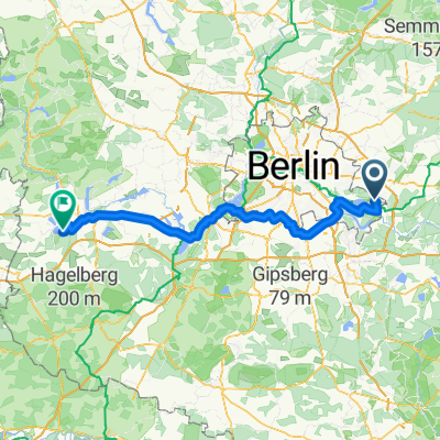
52 km Rahnsdorf SO - Spree
A cycling route starting in Rahnsdorf, Land Berlin, Germany.
Overview
About this route
Rahnsdorf - Erkner - Gruenheide - Moenchwinkel - Spreeau - Hartmannsdorf - Erkner - Rahnsdorf
- -:--
- Duration
- 52.6 km
- Distance
- 98 m
- Ascent
- 98 m
- Descent
- ---
- Avg. speed
- ---
- Avg. speed
Route quality
Waytypes & surfaces along the route
Waytypes
Path
20.6 km
(39 %)
Quiet road
14.5 km
(28 %)
Surfaces
Paved
51.9 km
(99 %)
Unpaved
0.2 km
(<1 %)
Asphalt
41.6 km
(79 %)
Paving stones
10 km
(19 %)
Continue with Bikemap
Use, edit, or download this cycling route
You would like to ride 52 km Rahnsdorf SO - Spree or customize it for your own trip? Here is what you can do with this Bikemap route:
Free features
- Save this route as favorite or in collections
- Copy & plan your own version of this route
- Sync your route with Garmin or Wahoo
Premium features
Free trial for 3 days, or one-time payment. More about Bikemap Premium.
- Navigate this route on iOS & Android
- Export a GPX / KML file of this route
- Create your custom printout (try it for free)
- Download this route for offline navigation
Discover more Premium features.
Get Bikemap PremiumFrom our community
Other popular routes starting in Rahnsdorf
- s wilhelmsagen - oderbruchbahn - seelow - märkische schweiz - strausberg
- Distance
- 124.6 km
- Ascent
- 251 m
- Descent
- 234 m
- Location
- Rahnsdorf, Land Berlin, Germany
- Seelow 2011
- Distance
- 149.7 km
- Ascent
- 211 m
- Descent
- 196 m
- Location
- Rahnsdorf, Land Berlin, Germany
- S Wilhemshagen - Spreenhagen - Reichenwalde - Bad Saarow - Halbe - Teupitz - Mittenwalde - S Lichenrade - Kreuzberg 61 (Angus)
- Distance
- 136.5 km
- Ascent
- 376 m
- Descent
- 371 m
- Location
- Rahnsdorf, Land Berlin, Germany
- Fürstenwalder Allee 26, Berlin nach Zum Schmetterlingshorst 2, Berlin
- Distance
- 30.6 km
- Ascent
- 61 m
- Descent
- 69 m
- Location
- Rahnsdorf, Land Berlin, Germany
- S Wilhelmshagen - Seelow - S Strausberg Nord
- Distance
- 120.9 km
- Ascent
- 378 m
- Descent
- 346 m
- Location
- Rahnsdorf, Land Berlin, Germany
- 52 km Rahnsdorf SO - Spree
- Distance
- 52.6 km
- Ascent
- 98 m
- Descent
- 98 m
- Location
- Rahnsdorf, Land Berlin, Germany
- Dahme, Kranich, Stienitzsee und zurück
- Distance
- 69.4 km
- Ascent
- 225 m
- Descent
- 230 m
- Location
- Rahnsdorf, Land Berlin, Germany
- Alt-Treptow-Müggelsee
- Distance
- 25.3 km
- Ascent
- 83 m
- Descent
- 84 m
- Location
- Rahnsdorf, Land Berlin, Germany
Open it in the app