

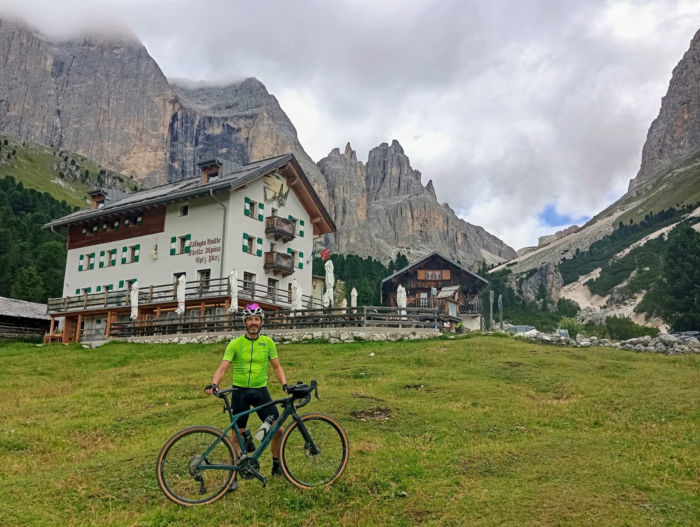
Alpy, den 6 (Pordoi - Campolongo - Valparola - San Pellegrino)
A cycling route starting in Mazzin, Trentino-Alto Adige, Italy.
Overview
About this route
The more information you write here, the more useful it will be for other users.
- Route details.
- What is special about this route?
- Why recommend this route?
- What did you like the most here?
- Etc.
- -:--
- Duration
- 146.2 km
- Distance
- 3,213 m
- Ascent
- 3,213 m
- Descent
- ---
- Avg. speed
- ---
- Max. altitude
Route quality
Waytypes & surfaces along the route
Waytypes
Quiet road
7.3 km
(5 %)
Access road
2.9 km
(2 %)
Surfaces
Paved
121.3 km
(83 %)
Unpaved
1.5 km
(1 %)
Asphalt
121.3 km
(83 %)
Gravel
1.5 km
(1 %)
Undefined
23.4 km
(16 %)
Continue with Bikemap
Use, edit, or download this cycling route
You would like to ride Alpy, den 6 (Pordoi - Campolongo - Valparola - San Pellegrino) or customize it for your own trip? Here is what you can do with this Bikemap route:
Free features
- Save this route as favorite or in collections
- Copy & plan your own version of this route
- Split it into stages to create a multi-day tour
- Sync your route with Garmin or Wahoo
Premium features
Free trial for 3 days, or one-time payment. More about Bikemap Premium.
- Navigate this route on iOS & Android
- Export a GPX / KML file of this route
- Create your custom printout (try it for free)
- Download this route for offline navigation
Discover more Premium features.
Get Bikemap PremiumFrom our community
Other popular routes starting in Mazzin
 Alpy, den 3 (Pordoi - Falzarego - Valparola - Fedaia)
- Distance
- 102.5 km
- Ascent
- 2,621 m
- Descent
- 2,621 m
- Location
- Mazzin, Trentino-Alto Adige, Italy
 Alpy, den 6 (Pordoi - Campolongo - Valparola - San Pellegrino)
- Distance
- 146.2 km
- Ascent
- 3,213 m
- Descent
- 3,213 m
- Location
- Mazzin, Trentino-Alto Adige, Italy
 Transalp 2017 Etappe 3
- Distance
- 86.6 km
- Ascent
- 1,827 m
- Descent
- 3,259 m
- Location
- Mazzin, Trentino-Alto Adige, Italy
 Alpy, den 5 - dopoledne (Fedaia)
- Distance
- 37.1 km
- Ascent
- 766 m
- Descent
- 766 m
- Location
- Mazzin, Trentino-Alto Adige, Italy
 Alpy, den 2 (Pampeago - Costalunga)
- Distance
- 93.8 km
- Ascent
- 2,040 m
- Descent
- 2,040 m
- Location
- Mazzin, Trentino-Alto Adige, Italy
 Alpy, den 5 - odpoledne (Sella)
- Distance
- 33.6 km
- Ascent
- 876 m
- Descent
- 873 m
- Location
- Mazzin, Trentino-Alto Adige, Italy
 Route in San Giovanni di Fassa
- Distance
- 6.3 km
- Ascent
- 656 m
- Descent
- 55 m
- Location
- Mazzin, Trentino-Alto Adige, Italy
 Mazzin - Ex Rifugio Catinaccio
- Distance
- 19.7 km
- Ascent
- 788 m
- Descent
- 792 m
- Location
- Mazzin, Trentino-Alto Adige, Italy
Open it in the app