

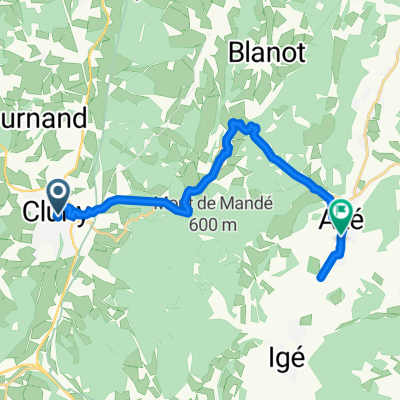
Saint-Éloy-les-Mines - Cluny
A cycling route starting in Cluny, Bourgogne-Franche-Comté, France.
Overview
About this route
- -:--
- Duration
- 236.1 km
- Distance
- 2,425 m
- Ascent
- 2,309 m
- Descent
- ---
- Avg. speed
- ---
- Max. altitude

Route quality
Waytypes & surfaces along the route
Waytypes
Road
54.3 km
(23 %)
Quiet road
23.6 km
(10 %)
Surfaces
Paved
120.4 km
(51 %)
Asphalt
118 km
(50 %)
Paved (undefined)
2.4 km
(1 %)
Undefined
115.7 km
(49 %)
Route highlights
Points of interest along the route
Point of interest after 31.8 km
Tête d'en Haut
Point of interest after 55.1 km
Mont Saint Rigaud
Point of interest after 55.1 km
Col de Patoux
Point of interest after 56.8 km
Montagne de la Charuge
Point of interest after 56.8 km
Col de Champ Juin
Point of interest after 64.1 km
Montagne de Saint-Cyr
Point of interest after 67.5 km
Col de la Cépée
Point of interest after 72.9 km
Montagne de Dun
Point of interest after 130.1 km
Col de la Rivière Noire
Point of interest after 221.3 km
La Pyramide
Continue with Bikemap
Use, edit, or download this cycling route
You would like to ride Saint-Éloy-les-Mines - Cluny or customize it for your own trip? Here is what you can do with this Bikemap route:
Free features
- Save this route as favorite or in collections
- Copy & plan your own version of this route
- Split it into stages to create a multi-day tour
- Sync your route with Garmin or Wahoo
Premium features
Free trial for 3 days, or one-time payment. More about Bikemap Premium.
- Navigate this route on iOS & Android
- Export a GPX / KML file of this route
- Create your custom printout (try it for free)
- Download this route for offline navigation
Discover more Premium features.
Get Bikemap PremiumFrom our community
Other popular routes starting in Cluny
 Route nach Rathenow
- Distance
- 1,288.3 km
- Ascent
- 6,314 m
- Descent
- 6,523 m
- Location
- Cluny, Bourgogne-Franche-Comté, France
 Taize - Chalon-sur-Saone
- Distance
- 46 km
- Ascent
- 198 m
- Descent
- 263 m
- Location
- Cluny, Bourgogne-Franche-Comté, France
 Saint-Éloy-les-Mines - Cluny
- Distance
- 236.1 km
- Ascent
- 2,425 m
- Descent
- 2,309 m
- Location
- Cluny, Bourgogne-Franche-Comté, France
 Toul Le-Puy Etappe 6 Cluny Proprières
- Distance
- 57.2 km
- Ascent
- 978 m
- Descent
- 461 m
- Location
- Cluny, Bourgogne-Franche-Comté, France
 Reign 1
- Distance
- 20 km
- Ascent
- 578 m
- Descent
- 581 m
- Location
- Cluny, Bourgogne-Franche-Comté, France
 Cent Cols nouveau partie 1
- Distance
- 293.6 km
- Ascent
- 3,096 m
- Descent
- 2,272 m
- Location
- Cluny, Bourgogne-Franche-Comté, France
 Von Cluny bis La Mulatière
- Distance
- 109.4 km
- Ascent
- 529 m
- Descent
- 602 m
- Location
- Cluny, Bourgogne-Franche-Comté, France
 Cluny - Cluny
- Distance
- 15.7 km
- Ascent
- 377 m
- Descent
- 388 m
- Location
- Cluny, Bourgogne-Franche-Comté, France
Open it in the app