

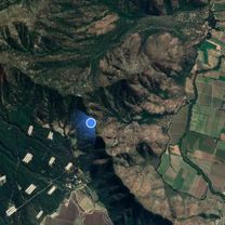
Ruta supersónica
A cycling route starting in Graneros, O'Higgins Region, Chile.
Overview
About this route
- 2 h 22 min
- Duration
- 24.8 km
- Distance
- 179 m
- Ascent
- 202 m
- Descent
- 10.5 km/h
- Avg. speed
- 649 m
- Max. altitude

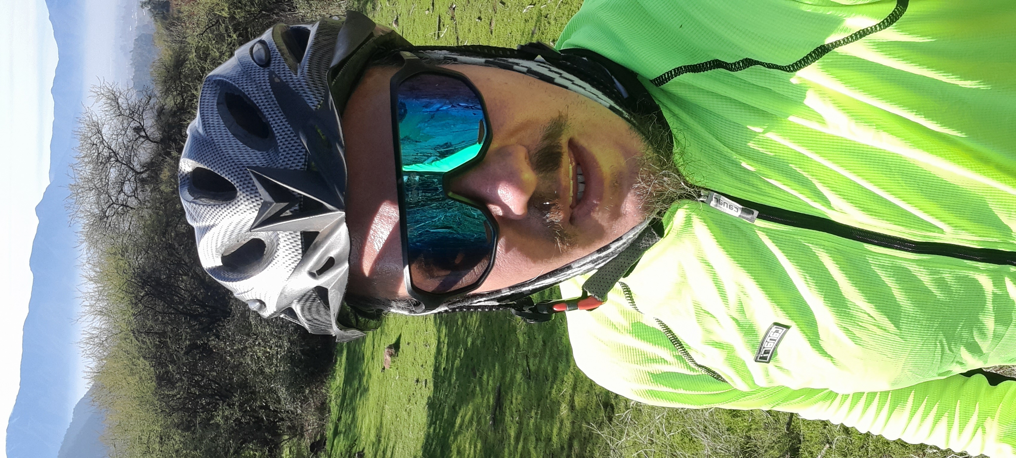
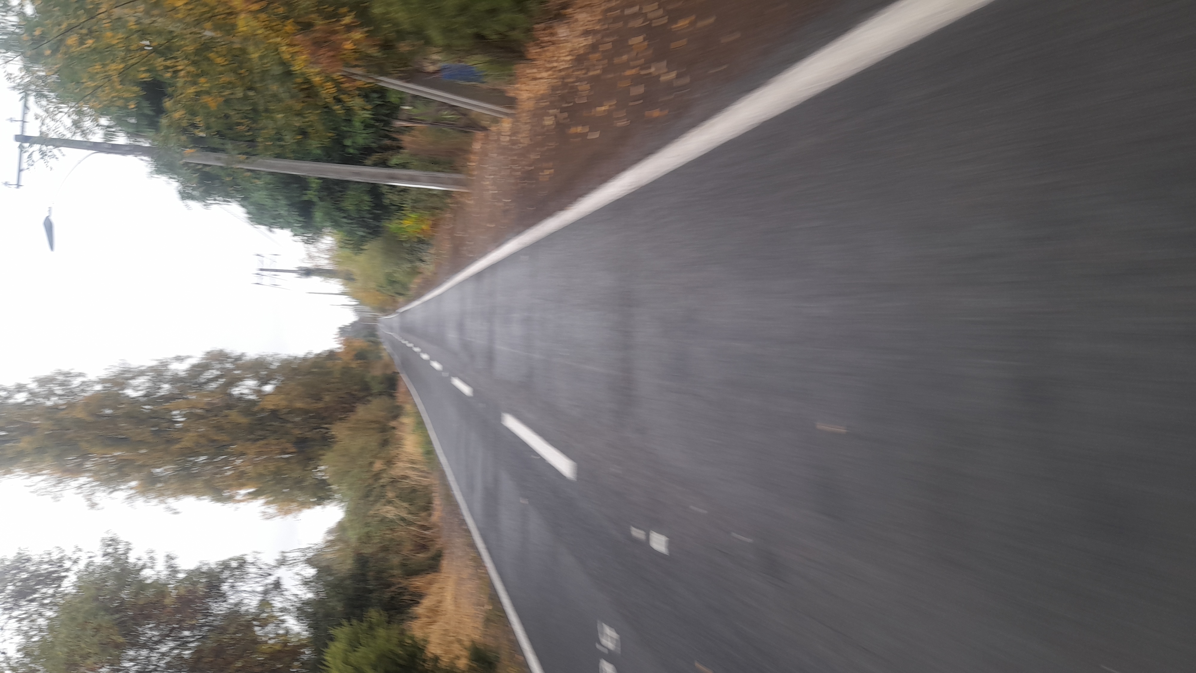
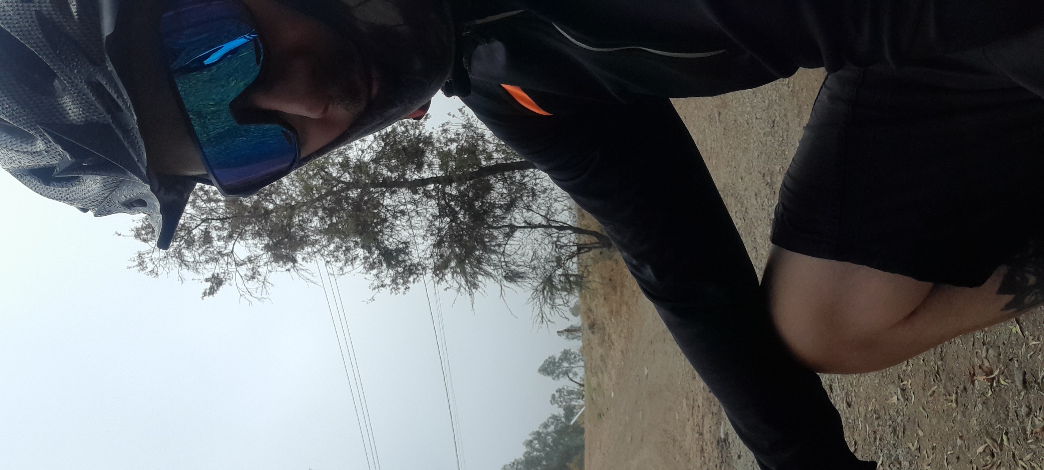
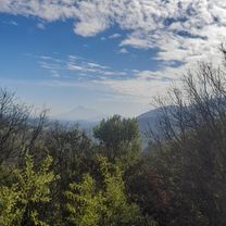
Route photos

Route quality
Waytypes & surfaces along the route
Waytypes
Road
12.7 km
(51 %)
Cycleway
5.5 km
(22 %)
Surfaces
Paved
18.4 km
(74 %)
Unpaved
0.7 km
(3 %)
Paved (undefined)
13.2 km
(53 %)
Asphalt
3.5 km
(14 %)
Continue with Bikemap
Use, edit, or download this cycling route
You would like to ride Ruta supersónica or customize it for your own trip? Here is what you can do with this Bikemap route:
Free features
- Save this route as favorite or in collections
- Copy & plan your own version of this route
- Sync your route with Garmin or Wahoo
Premium features
Free trial for 3 days, or one-time payment. More about Bikemap Premium.
- Navigate this route on iOS & Android
- Export a GPX / KML file of this route
- Create your custom printout (try it for free)
- Download this route for offline navigation
Discover more Premium features.
Get Bikemap PremiumFrom our community
Other popular routes starting in Graneros
 De Camino Real, Codegua a Jaime Fuenzalida 38, Graneros
- Distance
- 15.6 km
- Ascent
- 340 m
- Descent
- 343 m
- Location
- Graneros, O'Higgins Region, Chile
 De Jaime Fuenzalida 39, Graneros a Jaime Fuenzalida 39, Graneros
- Distance
- 24.4 km
- Ascent
- 492 m
- Descent
- 496 m
- Location
- Graneros, O'Higgins Region, Chile
 gros/las torres/gros
- Distance
- 31.8 km
- Ascent
- 317 m
- Descent
- 342 m
- Location
- Graneros, O'Higgins Region, Chile
- Ruta supersónica
- Distance
- 24.8 km
- Ascent
- 179 m
- Descent
- 202 m
- Location
- Graneros, O'Higgins Region, Chile
 lluvia media luna
- Distance
- 25.5 km
- Ascent
- 170 m
- Descent
- 198 m
- Location
- Graneros, O'Higgins Region, Chile
 Ruta de descanso
- Distance
- 27.5 km
- Ascent
- 189 m
- Descent
- 205 m
- Location
- Graneros, O'Higgins Region, Chile
 frio 10° salir 3 capas guantes
- Distance
- 27.8 km
- Ascent
- 160 m
- Descent
- 181 m
- Location
- Graneros, O'Higgins Region, Chile
 gros/camino los maquis/antenas/gros
- Distance
- 34.3 km
- Ascent
- 479 m
- Descent
- 507 m
- Location
- Graneros, O'Higgins Region, Chile
Open it in the app