

Wald Berg&Tal ⛰️
A cycling route starting in Morbach, Rhineland-Palatinate, Germany.
Overview
About this route
- 1 h 18 min
- Duration
- 18.9 km
- Distance
- 281 m
- Ascent
- 320 m
- Descent
- 14.5 km/h
- Avg. speed
- 724 m
- Max. altitude

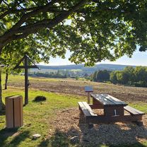
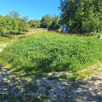
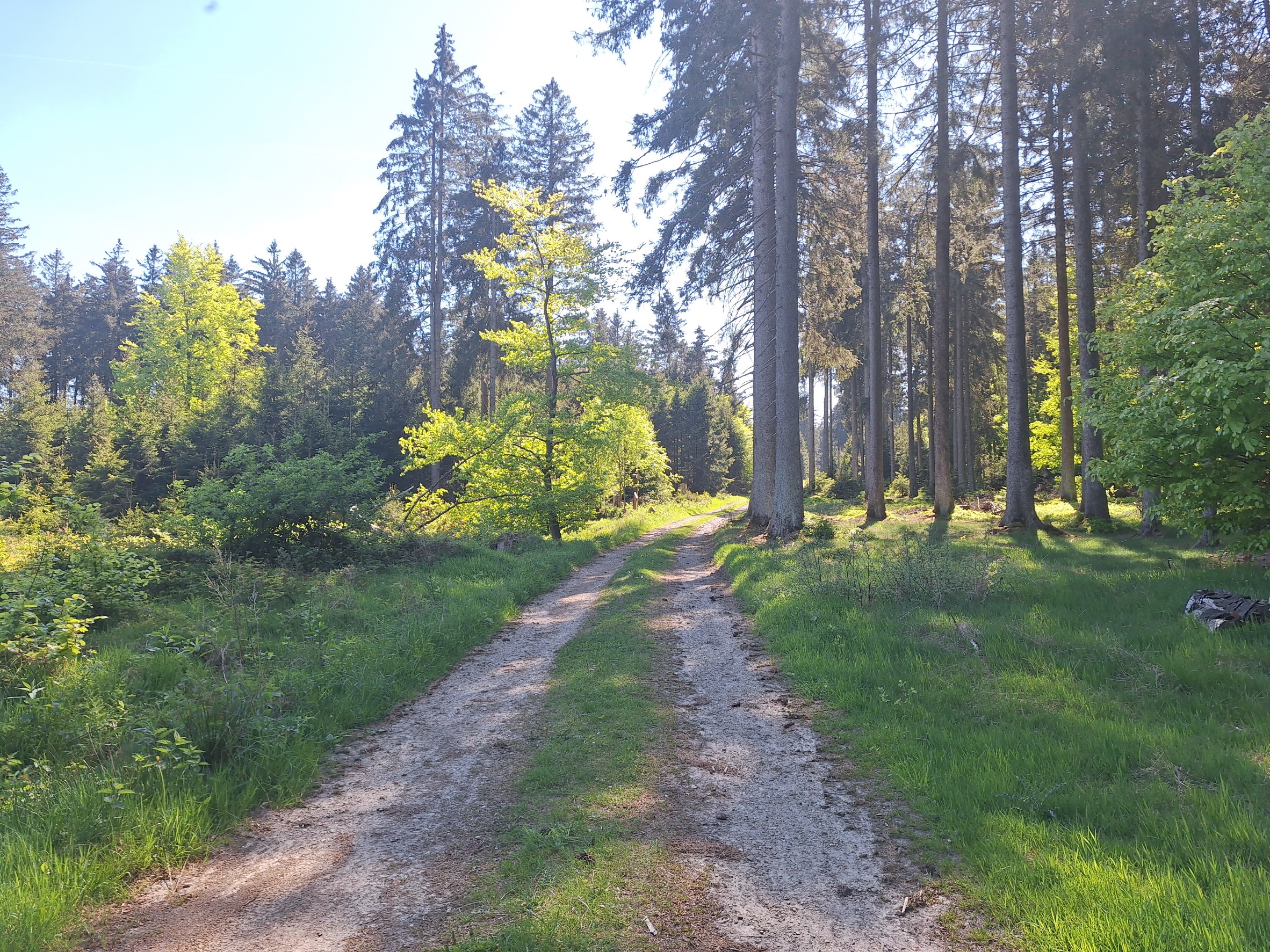
Route photos


Continue with Bikemap
Use, edit, or download this cycling route
You would like to ride Wald Berg&Tal ⛰️ or customize it for your own trip? Here is what you can do with this Bikemap route:
Free features
- Save this route as favorite or in collections
- Copy & plan your own version of this route
- Sync your route with Garmin or Wahoo
Premium features
Free trial for 3 days, or one-time payment. More about Bikemap Premium.
- Navigate this route on iOS & Android
- Export a GPX / KML file of this route
- Create your custom printout (try it for free)
- Download this route for offline navigation
Discover more Premium features.
Get Bikemap PremiumFrom our community
Other popular routes starting in Morbach
 B-TV-V-G-B
- Distance
- 38.1 km
- Ascent
- 591 m
- Descent
- 591 m
- Location
- Morbach, Rhineland-Palatinate, Germany
 Morbach t2
- Distance
- 12.6 km
- Ascent
- 316 m
- Descent
- 337 m
- Location
- Morbach, Rhineland-Palatinate, Germany
- Wald Berg&Tal ⛰️
- Distance
- 18.9 km
- Ascent
- 281 m
- Descent
- 320 m
- Location
- Morbach, Rhineland-Palatinate, Germany
 🚵♂️Runde über Nullweg kurz aber knackig ⛰️
- Distance
- 9.4 km
- Ascent
- 263 m
- Descent
- 294 m
- Location
- Morbach, Rhineland-Palatinate, Germany
 Keltentrail MTB
- Distance
- 26 km
- Ascent
- 435 m
- Descent
- 461 m
- Location
- Morbach, Rhineland-Palatinate, Germany
 MTB Runde Hunolstein🚵♂️Weinplatz
- Distance
- 32.9 km
- Ascent
- 565 m
- Descent
- 606 m
- Location
- Morbach, Rhineland-Palatinate, Germany
 Mountainbike-Tour zwischen Idarkopf & Erbeskopf
- Distance
- 36 km
- Ascent
- 489 m
- Descent
- 520 m
- Location
- Morbach, Rhineland-Palatinate, Germany
 Morbach nach Sohren
- Distance
- 26.8 km
- Ascent
- 330 m
- Descent
- 374 m
- Location
- Morbach, Rhineland-Palatinate, Germany
Open it in the app