
CO2011_Tag1
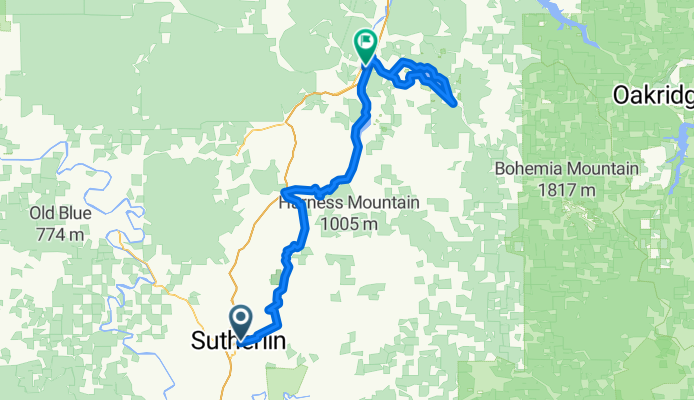
A cycling route starting in Sutherlin, Oregon, United States.
Overview
About this route
Cycle Oregon 2011, Day 1 (Sutherlin-Cottage Grove)
- -:--
- Duration
- 115 km
- Distance
- 806 m
- Ascent
- 767 m
- Descent
- ---
- Avg. speed
- ---
- Max. altitude

Route quality
Waytypes & surfaces along the route
Waytypes
Road
74.8 km
(65 %)
Cycleway
24.2 km
(21 %)
Surfaces
Paved
48.3 km
(42 %)
Unpaved
2.3 km
(2 %)
Asphalt
47.2 km
(41 %)
Gravel
2.3 km
(2 %)
Continue with Bikemap
Use, edit, or download this cycling route
You would like to ride CO2011_Tag1 or customize it for your own trip? Here is what you can do with this Bikemap route:
Free features
- Save this route as favorite or in collections
- Copy & plan your own version of this route
- Split it into stages to create a multi-day tour
- Sync your route with Garmin or Wahoo
Premium features
Free trial for 3 days, or one-time payment. More about Bikemap Premium.
- Navigate this route on iOS & Android
- Export a GPX / KML file of this route
- Create your custom printout (try it for free)
- Download this route for offline navigation
Discover more Premium features.
Get Bikemap PremiumFrom our community
Other popular routes starting in Sutherlin
 CO2011_Tag1
- Distance
- 115 km
- Ascent
- 806 m
- Descent
- 767 m
- Location
- Sutherlin, Oregon, United States
 Sutherlin-Tyee Road-Sutherlin
- Distance
- 61.5 km
- Ascent
- 349 m
- Descent
- 349 m
- Location
- Sutherlin, Oregon, United States
 Route from 700–798 W Sixth Ave, Sutherlin
- Distance
- 23.1 km
- Ascent
- 661 m
- Descent
- 281 m
- Location
- Sutherlin, Oregon, United States
Open it in the app