

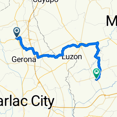
Apulid- Tablang - Pob. Norte (Farm-brgy. road route)
A cycling route starting in Paniqui, Central Luzon, Philippines.
Overview
About this route
- 48 min
- Duration
- 8 km
- Distance
- 40 m
- Ascent
- 74 m
- Descent
- 10.1 km/h
- Avg. speed
- 60 m
- Max. altitude

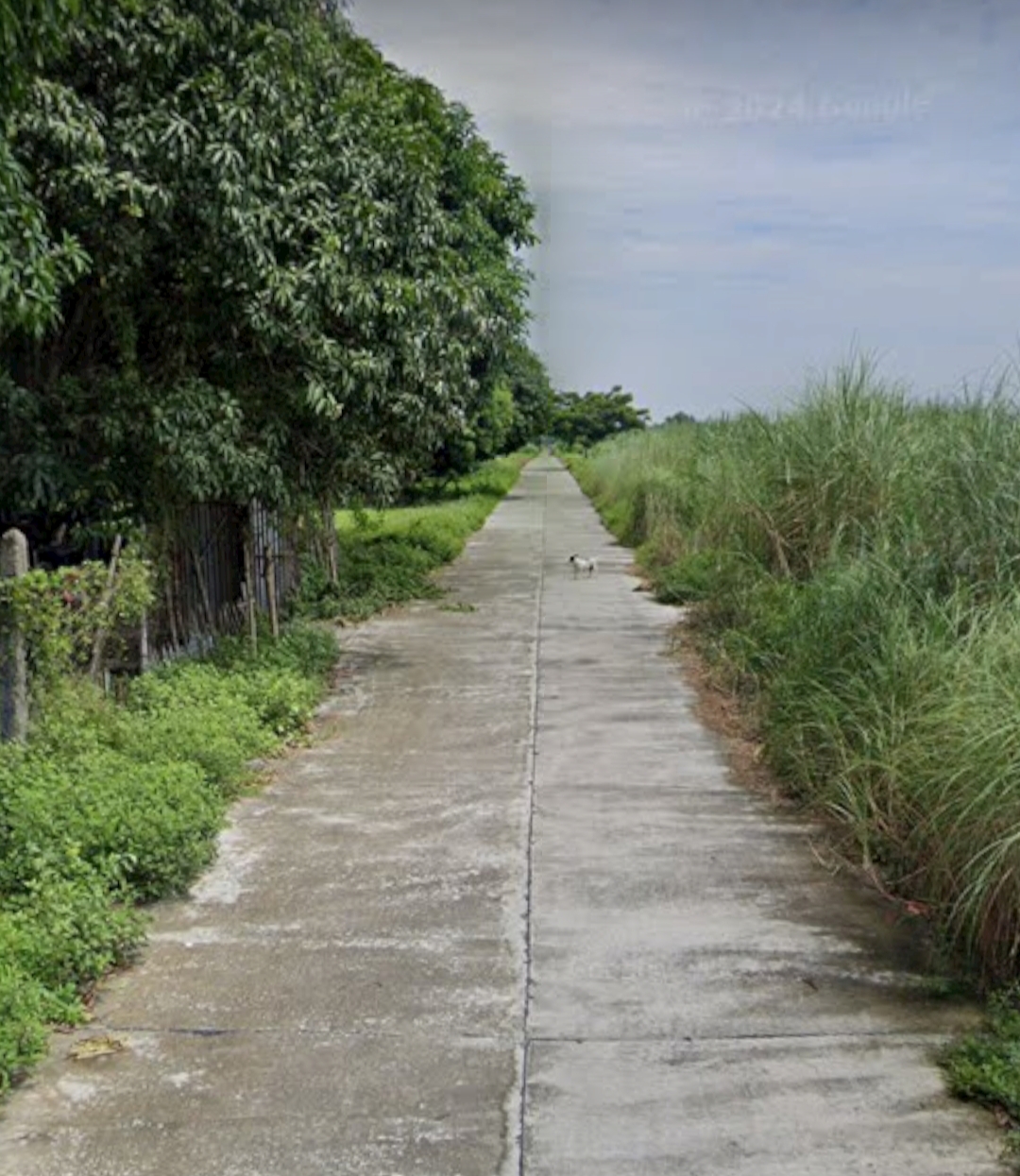
Route photos
\"")
\"")
\"")
\"")
Route quality
Waytypes & surfaces along the route
Waytypes
Quiet road
6.5 km
(81 %)
Road
1.5 km
(19 %)
Surfaces
Paved
0.6 km
(8 %)
Concrete
0.5 km
(6 %)
Paved (undefined)
0.2 km
(2 %)
Undefined
7.4 km
(92 %)
Continue with Bikemap
Use, edit, or download this cycling route
You would like to ride Apulid- Tablang - Pob. Norte (Farm-brgy. road route) or customize it for your own trip? Here is what you can do with this Bikemap route:
Free features
- Save this route as favorite or in collections
- Copy & plan your own version of this route
- Sync your route with Garmin or Wahoo
Premium features
Free trial for 3 days, or one-time payment. More about Bikemap Premium.
- Navigate this route on iOS & Android
- Export a GPX / KML file of this route
- Create your custom printout (try it for free)
- Download this route for offline navigation
Discover more Premium features.
Get Bikemap PremiumFrom our community
Other popular routes starting in Paniqui
 balsa - apulid ( farm - mc Arthur hway- brgy. road route)
- Distance
- 4.6 km
- Ascent
- 14 m
- Descent
- 53 m
- Location
- Paniqui, Central Luzon, Philippines
 Plaza ng Moncada
- Distance
- 5.6 km
- Ascent
- 19 m
- Descent
- 34 m
- Location
- Paniqui, Central Luzon, Philippines
 last ride
- Distance
- 51.5 km
- Ascent
- 37 m
- Descent
- 31 m
- Location
- Paniqui, Central Luzon, Philippines
 Paniqui to Parañaque
- Distance
- 165.9 km
- Ascent
- 343 m
- Descent
- 333 m
- Location
- Paniqui, Central Luzon, Philippines
 Zamora Street, Paniqui to Paniqui-Anao Road 399
- Distance
- 10 km
- Ascent
- 134 m
- Descent
- 132 m
- Location
- Paniqui, Central Luzon, Philippines
 Paniqui - Ramos Road to Unnamed Road, Llanera
- Distance
- 52.6 km
- Ascent
- 182 m
- Descent
- 121 m
- Location
- Paniqui, Central Luzon, Philippines
- Apulid- Tablang - Pob. Norte (Farm-brgy. road route)
- Distance
- 8 km
- Ascent
- 40 m
- Descent
- 74 m
- Location
- Paniqui, Central Luzon, Philippines
 Paniqui to VMMQ+GHC, Balungao
- Distance
- 34.2 km
- Ascent
- 71 m
- Descent
- 27 m
- Location
- Paniqui, Central Luzon, Philippines
Open it in the app