

Weinradroute - Rivaner
A cycling route starting in Hollabrunn, Lower Austria, Austria.
Overview
About this route
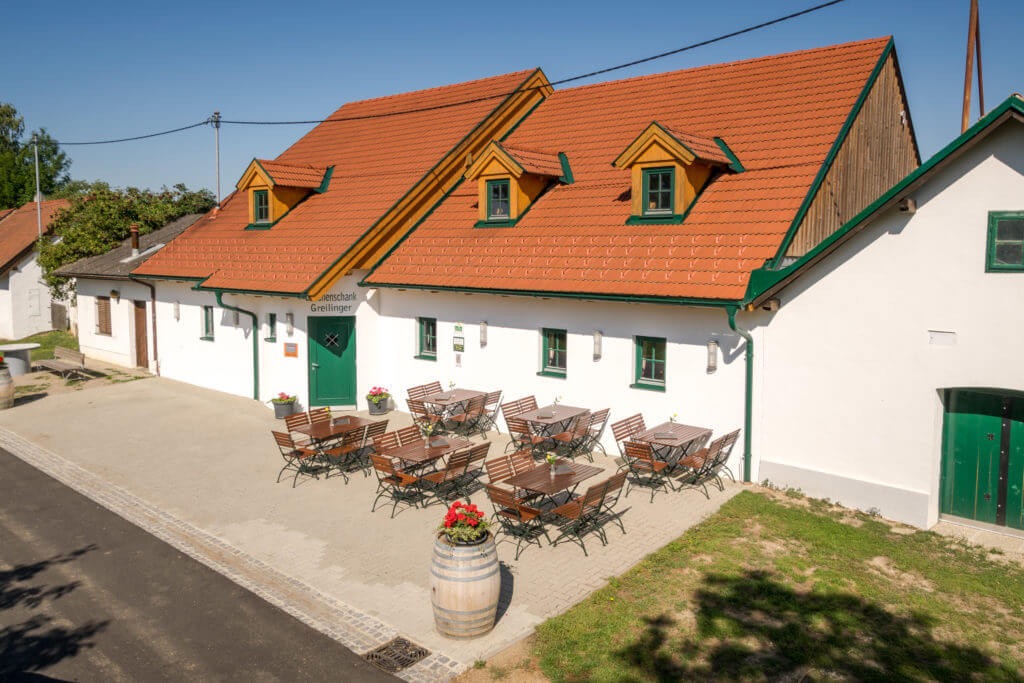
Start / Ziel: Hollabrunn
- -:--
- Duration
- 60.5 km
- Distance
- 580 m
- Ascent
- 578 m
- Descent
- ---
- Avg. speed
- 364 m
- Max. altitude

Route quality
Waytypes & surfaces along the route
Waytypes
Track
26.9 km
(44 %)
Quiet road
21.8 km
(36 %)
Surfaces
Paved
39.5 km
(65 %)
Unpaved
3.1 km
(5 %)
Asphalt
32.7 km
(54 %)
Paved (undefined)
6 km
(10 %)
Continue with Bikemap
Use, edit, or download this cycling route
You would like to ride Weinradroute - Rivaner or customize it for your own trip? Here is what you can do with this Bikemap route:
Free features
- Save this route as favorite or in collections
- Copy & plan your own version of this route
- Sync your route with Garmin or Wahoo
Premium features
Free trial for 3 days, or one-time payment. More about Bikemap Premium.
- Navigate this route on iOS & Android
- Export a GPX / KML file of this route
- Create your custom printout (try it for free)
- Download this route for offline navigation
Discover more Premium features.
Get Bikemap PremiumFrom our community
Other popular routes starting in Hollabrunn
 MTB Aspersdorf NF
- Distance
- 22.3 km
- Ascent
- 243 m
- Descent
- 242 m
- Location
- Hollabrunn, Lower Austria, Austria
 Weinradroute - Rivaner
- Distance
- 60.5 km
- Ascent
- 580 m
- Descent
- 578 m
- Location
- Hollabrunn, Lower Austria, Austria
 Abendtour
- Distance
- 27.8 km
- Ascent
- 245 m
- Descent
- 253 m
- Location
- Hollabrunn, Lower Austria, Austria
 Rivanerweg lt Radwegauszeichnung
- Distance
- 54.8 km
- Ascent
- 396 m
- Descent
- 397 m
- Location
- Hollabrunn, Lower Austria, Austria
 Samstag: Suttenbrunn-Großwetzdorf-Straning-Sitzendorf a. d. Schmida
- Distance
- 71.9 km
- Ascent
- 704 m
- Descent
- 704 m
- Location
- Hollabrunn, Lower Austria, Austria
 HOLLABRUNN MB 3
- Distance
- 30.2 km
- Ascent
- 449 m
- Descent
- 358 m
- Location
- Hollabrunn, Lower Austria, Austria
 Mittwoch: Kellertrift Heuriger Loiskandl
- Distance
- 13.5 km
- Ascent
- 85 m
- Descent
- 83 m
- Location
- Hollabrunn, Lower Austria, Austria
 Freitag: Suttenbrunn - Znaim🇨🇿 - Hl. Stein -Retz - Sandberg
- Distance
- 90.9 km
- Ascent
- 884 m
- Descent
- 882 m
- Location
- Hollabrunn, Lower Austria, Austria
Open it in the app