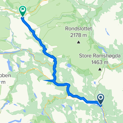
Dag 3
- 84.9 km
- 1,251 m
- 750 m
- Ringebu, Oppland, Norway
A cycling route starting in Ringebu, Oppland, Norway.
Overview
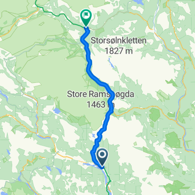
On fine gravel roads from Gudbrandsgard hotel, the route goes northwest in beautiful mountain terrain. The trail joins a well-maintained and wide path in hilly terrain over to the mountain road between Svinslåa and Nysætra. Take a right towards Nysætra and you will encounter some gentle descents towards Nysætra and a magnificent view into Rondane. The loop continues on towards Ormsætra, but turns at the intersection towards Breidstultjønnet. Here the route continues on an old transit path over to Gumpen. On a wide and historic trail, the journey goes down towards Gumpen. Some technical and steep sections, but not so bad that it's not a nice family trip. Down by the water's edge, Gumpen is a gem of a rest area. The route now goes south. An old tractor road leads the way towards Svinslåa between Digeråsen and Storhaugen. Here there are opportunities to take some alternative and longer routes towards Gålå or around Digeråsen and Vendalen. Those who want a more technical route can take a left onto a small trail up and over Storhaugen. The old tractor road turns into a gravel road that leads the route to Svinslåa. In beautiful and historic pasture surroundings, there is a great view down to Kvitfjell to the west, Slagsfjella, and Storfjellet in the south. From Svinslåa, you follow the mountain road back to Nysætra with a descent in easy terrain back to the starting point Gudbrandsgard hotel.
created this 13 years ago
Route quality
Quiet road
12.7 km
(60 %)
Track
5.3 km
(25 %)
Paved
1.1 km
(5 %)
Unpaved
16.3 km
(77 %)
Gravel
12.7 km
(60 %)
Ground
3.6 km
(17 %)
Continue with Bikemap
You would like to ride K1 - Gumpenrunden or customize it for your own trip? Here is what you can do with this Bikemap route:
Free trial for 3 days, or one-time payment. More about Bikemap Premium.
Discover more Premium features.
Get Bikemap PremiumFrom our community
Open it in the app