2017 05. 17. Turracherhöhe-Hochrindl-Flattnitz
- 101.4 km
- 2,209 m
- 2,415 m
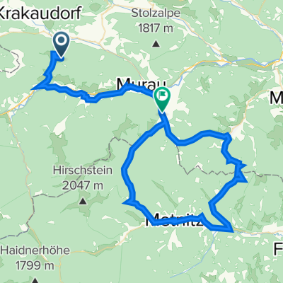
- Ranten, Styria, Austria
A cycling route starting in Ranten, Styria, Austria.
Overview
The Sölkpass is a quiet but steep option to cross the main ridge of the Styrian Alps. The route starts in Rottenmann on the Murtal federal road, goes over the Sölkpass (1800m) and through St. Nikolai and the Sölktal down to Gröbming in the Ennstal. Place names like 'Fleiß' and 'Au' are silent witnesses to the difficulty of this route. Even in mid-summer, it can be quite cold up top, and at times there are cows on the road during the descent. Ridden in the summer of 1993 on a mountain bike.
created this 18 years ago
Route quality
Track
2.8 km
(6 %)
Access road
1.4 km
(3 %)
Paved
38.7 km
(83 %)
Unpaved
1.9 km
(4 %)
Asphalt
38.7 km
(83 %)
Ground
1.9 km
(4 %)
Undefined
6.1 km
(13 %)
Continue with Bikemap
You would like to ride Sölkpass or customize it for your own trip? Here is what you can do with this Bikemap route:
Free trial for 3 days, or one-time payment. More about Bikemap Premium.
Discover more Premium features.
Get Bikemap PremiumFrom our community
Open it in the app