Avenue Foch 10, La Garenne-Colombes to Villa Chanoine 9, Bois-Colombes
- 1.4 km
- 0 m
- 3 m
- Colombes, Île-de-France Region, France
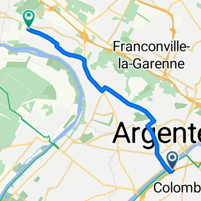
A cycling route starting in Colombes, Île-de-France Region, France.
Overview
created this 7 months ago
Route quality
Quiet road
3.8 km
(53 %)
Cycleway
0.9 km
(12 %)
Paved
7.1 km
(98 %)
Asphalt
7.1 km
(98 %)
Undefined
0.1 km
(2 %)
Continue with Bikemap
You would like to ride Colombes to Palais des congrès or customize it for your own trip? Here is what you can do with this Bikemap route:
Free trial for 3 days, or one-time payment. More about Bikemap Premium.
Discover more Premium features.
Get Bikemap PremiumFrom our community
Open it in the app