Ostern 26.2 La Cure - Vallorbe
- 43.3 km
- 492 m
- 897 m
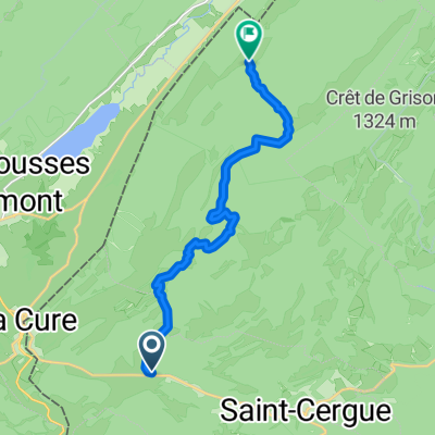
- Saint-Cergue, Canton of Vaud, Switzerland
Road
62.7 km35 %Quiet road
17.9 km10 %Paved
96.7 km(54 %)Asphalt
96.7 km54 %Undefined
82.3 km46 %Col de la Savine
Lajoux
Col de la Faucille
Col de Cuvery
Free trial for 3 days, or one-time payment. More about Bikemap Premium.
Discover more Premium features.
Get Bikemap PremiumOpen it in the app