

Cottbus - Spremberg (Stausee) - Cottbus
A cycling route starting in Cottbus, Brandenburg, Germany.
Overview
About this route
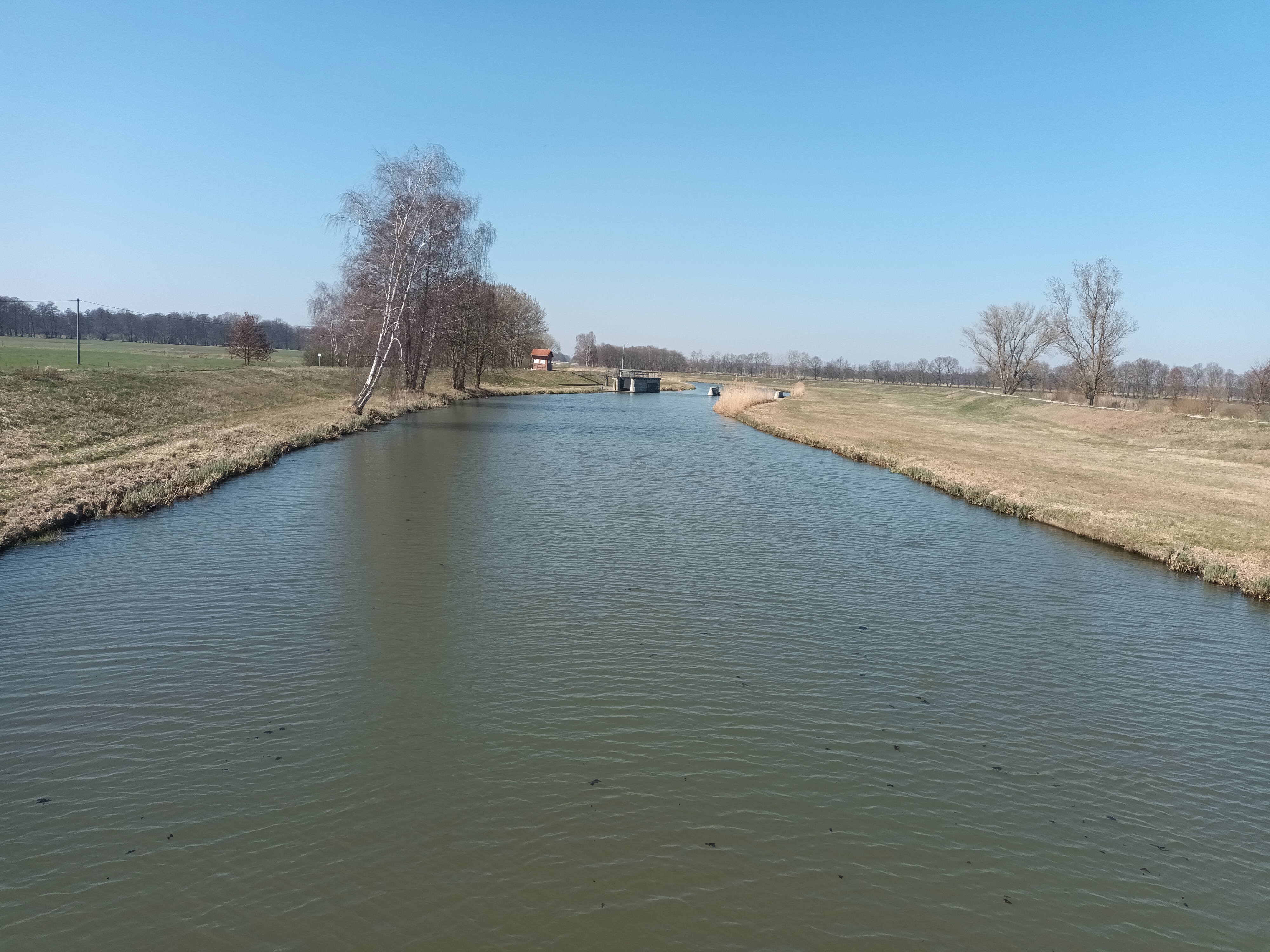
Start in Cottbus Mitte. Der Streckenverlauf beim Kiekebuscher Weg wo es in den "Wald" geht Richtung Mühle sollte man mit dem Rennrad umfahren und die nächste Abbiegung nach Frauendorf nehmen. Der Rest der Strecke ist asphaltiert. Viel Spass
- -:--
- Duration
- 47.6 km
- Distance
- 115 m
- Ascent
- 117 m
- Descent
- ---
- Avg. speed
- ---
- Max. altitude

Route quality
Waytypes & surfaces along the route
Waytypes
Path
21.5 km
(45 %)
Road
9.6 km
(20 %)
Surfaces
Paved
37.3 km
(78 %)
Unpaved
4.6 km
(10 %)
Asphalt
29.3 km
(62 %)
Paving stones
7.7 km
(16 %)
Continue with Bikemap
Use, edit, or download this cycling route
You would like to ride Cottbus - Spremberg (Stausee) - Cottbus or customize it for your own trip? Here is what you can do with this Bikemap route:
Free features
- Save this route as favorite or in collections
- Copy & plan your own version of this route
- Sync your route with Garmin or Wahoo
Premium features
Free trial for 3 days, or one-time payment. More about Bikemap Premium.
- Navigate this route on iOS & Android
- Export a GPX / KML file of this route
- Create your custom printout (try it for free)
- Download this route for offline navigation
Discover more Premium features.
Get Bikemap PremiumFrom our community
Other popular routes starting in Cottbus
 BRT2013-DO: Drebkauer-Erlebnis-Tour - RTF der Stadt Drebkau beim BRT2013 in Cottbus - 115 km Strecke
- Distance
- 110.1 km
- Ascent
- 224 m
- Descent
- 224 m
- Location
- Cottbus, Brandenburg, Germany
 BRT2013-MI: Tour de Spreewald - RTF der Radsportclub Cottbus e.V. - Veloteam beim BRT2013 in Cottbus - 115 km Strecke
- Distance
- 118.6 km
- Ascent
- 86 m
- Descent
- 87 m
- Location
- Cottbus, Brandenburg, Germany
 spree
spree- Distance
- 33.3 km
- Ascent
- 31 m
- Descent
- 50 m
- Location
- Cottbus, Brandenburg, Germany
 Straubitz Mühle
- Distance
- 69.4 km
- Ascent
- 55 m
- Descent
- 14 m
- Location
- Cottbus, Brandenburg, Germany
 Nach Hornow
- Distance
- 69.3 km
- Ascent
- 128 m
- Descent
- 109 m
- Location
- Cottbus, Brandenburg, Germany
 Fahren nach Zahlen: im Süden um Cottbus
- Distance
- 40.7 km
- Ascent
- 182 m
- Descent
- 184 m
- Location
- Cottbus, Brandenburg, Germany
 BRT2013-FR: Teichland - Tour - RTF der RSV Peitz e.V. + Teichlandradler e.V. beim BRT2013 in Cottbus - 75 km Strecke
- Distance
- 74.1 km
- Ascent
- 95 m
- Descent
- 96 m
- Location
- Cottbus, Brandenburg, Germany
 Ostsee Rundweg
- Distance
- 34.1 km
- Ascent
- 69 m
- Descent
- 70 m
- Location
- Cottbus, Brandenburg, Germany
Open it in the app