

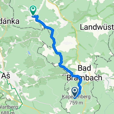
Raun-Plauen
A cycling route starting in Bad Brambach, Saxony, Germany.
Overview
About this route
Elevation according to gpsies: 690 hm
- -:--
- Duration
- 48.2 km
- Distance
- 570 m
- Ascent
- 707 m
- Descent
- ---
- Avg. speed
- ---
- Max. altitude
Route quality
Waytypes & surfaces along the route
Waytypes
Road
15.9 km
(33 %)
Quiet road
8.2 km
(17 %)
Surfaces
Paved
29.9 km
(62 %)
Asphalt
29.4 km
(61 %)
Paved (undefined)
0.5 km
(1 %)
Undefined
18.3 km
(38 %)
Continue with Bikemap
Use, edit, or download this cycling route
You would like to ride Raun-Plauen or customize it for your own trip? Here is what you can do with this Bikemap route:
Free features
- Save this route as favorite or in collections
- Copy & plan your own version of this route
- Sync your route with Garmin or Wahoo
Premium features
Free trial for 3 days, or one-time payment. More about Bikemap Premium.
- Navigate this route on iOS & Android
- Export a GPX / KML file of this route
- Create your custom printout (try it for free)
- Download this route for offline navigation
Discover more Premium features.
Get Bikemap PremiumFrom our community
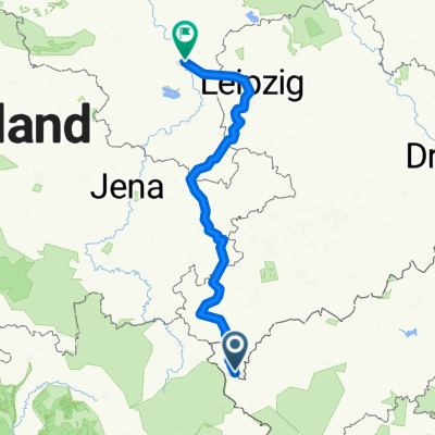
Other popular routes starting in Bad Brambach
 Elsterradweg
- Distance
- 237.5 km
- Ascent
- 1,412 m
- Descent
- 2,022 m
- Location
- Bad Brambach, Saxony, Germany
 Deckerstraße, Bad Brambach nach Hagerstraße 12, Bad Elster
- Distance
- 13.7 km
- Ascent
- 276 m
- Descent
- 477 m
- Location
- Bad Brambach, Saxony, Germany
 Elsterradweg von der Quelle bis zur Mündung - der Brückenradweg - Update 01. März 2015 mit Infos zu Neubaustrecken in der Beschreibung und Aktualisierung Ado...
- Distance
- 256.6 km
- Ascent
- 1,761 m
- Descent
- 2,386 m
- Location
- Bad Brambach, Saxony, Germany
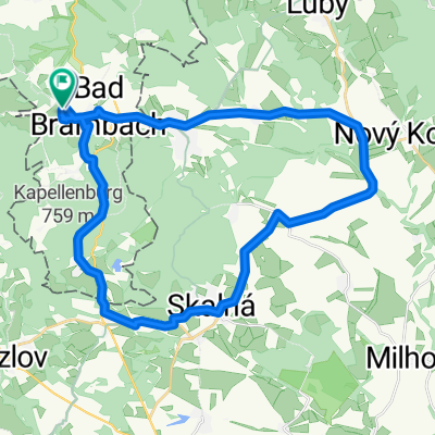
 Raun-Plauen
- Distance
- 48.2 km
- Ascent
- 570 m
- Descent
- 707 m
- Location
- Bad Brambach, Saxony, Germany
 21315, Hazlov nach Am Kuhberg 48, Bad Elster
- Distance
- 19.2 km
- Ascent
- 176 m
- Descent
- 309 m
- Location
- Bad Brambach, Saxony, Germany
 Elsterquelle
- Distance
- 2 km
- Ascent
- 51 m
- Descent
- 29 m
- Location
- Bad Brambach, Saxony, Germany
 17.08. Christian-Schüller-Straße nach Christian-Schüller-Straße
- Distance
- 31.3 km
- Ascent
- 368 m
- Descent
- 376 m
- Location
- Bad Brambach, Saxony, Germany
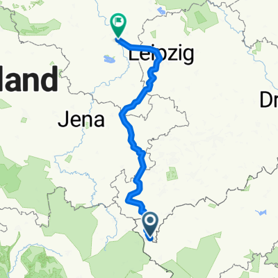 Elsterradweg
- Distance
- 255.4 km
- Ascent
- 1,804 m
- Descent
- 2,429 m
- Location
- Bad Brambach, Saxony, Germany
Open it in the app