V12 Lac d'Aumar i Lac d Cap d Llong
- 34.9 km
- 1,732 m
- 384 m
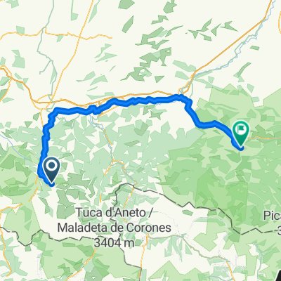
- Saint-Lary-Soulan, Occitanie, France
A cycling route starting in Saint-Lary-Soulan, Occitanie, France.
Overview
created this 13 years ago
Route quality
Road
11.3 km
(6 %)
Quiet road
9.4 km
(5 %)
Paved
158.6 km
(84 %)
Unpaved
1.9 km
(1 %)
Asphalt
158.6 km
(84 %)
Unpaved (undefined)
1.9 km
(1 %)
Undefined
28.3 km
(15 %)
Route highlights
Col d`Azet
Col de Peyresourde
Port de Bales
Col du Portillon
Col de Portet d`Aspet
Port de Pailhères
Continue with Bikemap
You would like to ride Saint-Lary-Soulan - Castillon-en-Couserans or customize it for your own trip? Here is what you can do with this Bikemap route:
Free trial for 3 days, or one-time payment. More about Bikemap Premium.
Discover more Premium features.
Get Bikemap PremiumFrom our community
Open it in the app