

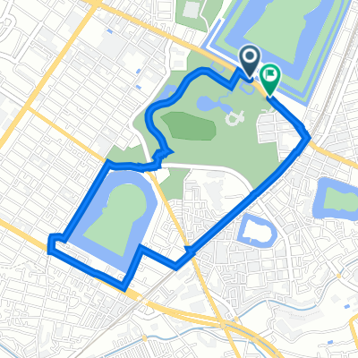
浅香ツツジ→堺駅
A cycling route starting in Sakai, Osaka, Japan.
Overview
About this route
- 21 min
- Duration
- 5.6 km
- Distance
- 10 m
- Ascent
- 12 m
- Descent
- 16.2 km/h
- Avg. speed
- 15 m
- Max. altitude

Route quality
Waytypes & surfaces along the route
Waytypes
Quiet road
4.6 km
(82 %)
Pedestrian area
0.8 km
(14 %)
Surfaces
Paved
1.2 km
(22 %)
Unpaved
0.2 km
(3 %)
Asphalt
1.2 km
(21 %)
Ground
0.2 km
(3 %)
Continue with Bikemap
Use, edit, or download this cycling route
You would like to ride 浅香ツツジ→堺駅 or customize it for your own trip? Here is what you can do with this Bikemap route:
Free features
- Save this route as favorite or in collections
- Copy & plan your own version of this route
- Sync your route with Garmin or Wahoo
Premium features
Free trial for 3 days, or one-time payment. More about Bikemap Premium.
- Navigate this route on iOS & Android
- Export a GPX / KML file of this route
- Create your custom printout (try it for free)
- Download this route for offline navigation
Discover more Premium features.
Get Bikemap PremiumFrom our community
Other popular routes starting in Sakai
 浅香ツツジ→堺駅
- Distance
- 5.6 km
- Ascent
- 10 m
- Descent
- 12 m
- Location
- Sakai, Osaka, Japan
 Tour of Japan 2014 Prologue
- Distance
- 2.8 km
- Ascent
- 15 m
- Descent
- 12 m
- Location
- Sakai, Osaka, Japan
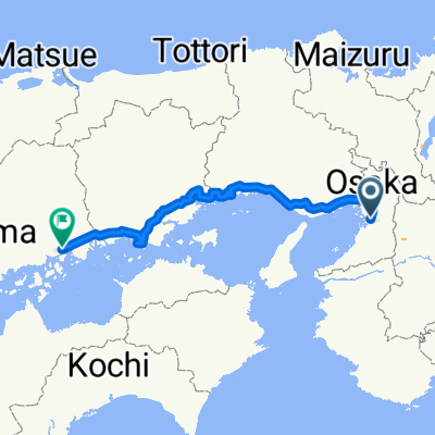 Osaka to Fukuoka
- Distance
- 334.3 km
- Ascent
- 4,840 m
- Descent
- 4,744 m
- Location
- Sakai, Osaka, Japan
 渡船場―夢洲ルート
- Distance
- 41.1 km
- Ascent
- 143 m
- Descent
- 148 m
- Location
- Sakai, Osaka, Japan
 7-15, Tezukayamahigashi 4-Chōme, Sumiyoshi, Osaka to 1-35, Kitahorie 1-Chōme, Nishi, Osaka
- Distance
- 7.7 km
- Ascent
- 31 m
- Descent
- 33 m
- Location
- Sakai, Osaka, Japan
 アパ堺→長居
- Distance
- 8.1 km
- Ascent
- 25 m
- Descent
- 24 m
- Location
- Sakai, Osaka, Japan
 1時間コース 百舌鳥古墳群を手軽に体感するコース
- Distance
- 4.2 km
- Ascent
- 15 m
- Descent
- 13 m
- Location
- Sakai, Osaka, Japan
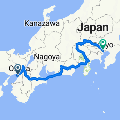 japan
japan- Distance
- 975 km
- Ascent
- 5,309 m
- Descent
- 5,294 m
- Location
- Sakai, Osaka, Japan
Open it in the app