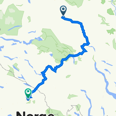
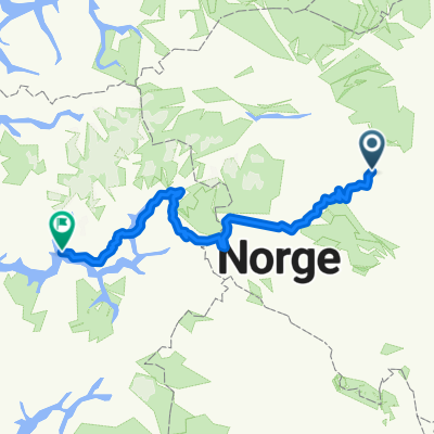
Valdres: Mjølkevegen
- 266.3 km
- 0 m
- 0 m
- Vinstra, Oppland, Norway
A cycling route starting in Vinstra, Oppland, Norway.
Overview
Skåburittet 2012:
70 km kupert trassè, hovedsaklig på grus- og traktorvei, men også partier med skogsstier. Ellers ca 9km asfaltvei.
Løypa går gjennom verdens største elgtrekk, Murudalen (ca 500 elg).
Trassèen går langs elver, vann, setergrender og variert skogsterreng 650-950moh.
Du sykler i Jotunheimens forgård, med utsikt bl.a. til Glittertind.
Se www.bikemap.net/route/1674422 for alternativ sløyfe på sti forbi Strålvatnet istedenfor grusveien over Flekkmoen.
created this 13 years ago
Continue with Bikemap
You would like to ride Skåburittet 2012 or customize it for your own trip? Here is what you can do with this Bikemap route:
Free trial for 3 days, or one-time payment. More about Bikemap Premium.
Discover more Premium features.
Get Bikemap PremiumFrom our community
Open it in the app